Route details, maps, pubs, features, local history and folklore for a wide variety of walks focusing primarily on Norfolk and Suffolk

full-detail Walks
Showing posts with label full-detail. Show all posts

Monday 16 December 2019

Walk Around the Wash - Boston to Fosdyke

Haven River

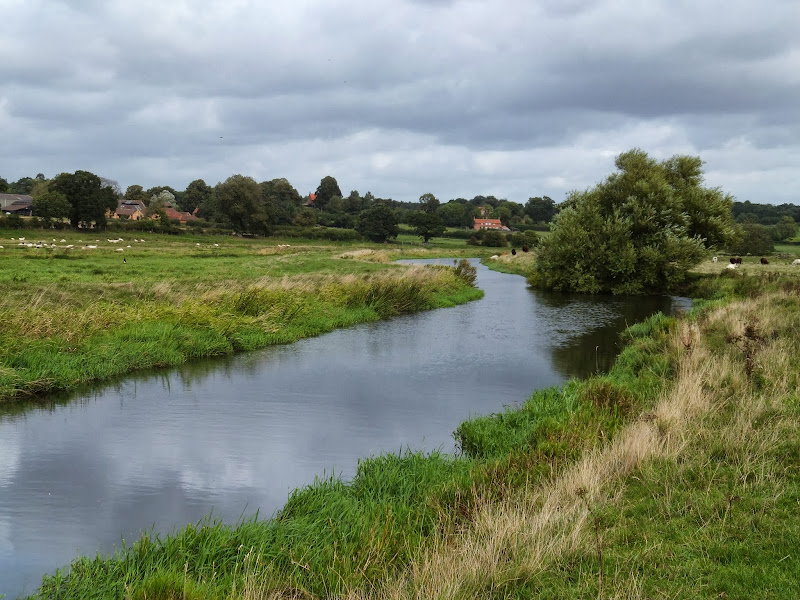
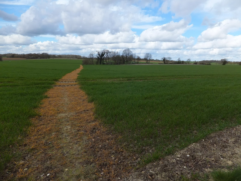
An 11 mile along the sea defence banks from Boston to Fosdyke

This walks follows the start of the Macmillan Way as the first stage of the walk around the Wash. The route follows the Haven river before heading down to Fosdyke bridge on the River Welland. The walk is typified with acres of flat marsh, water filled creeks, wide open skies and views for miles around.

South West Coast Path - Boscastle to Tintagel

Boscastle Harbour

An 5 mile walk along the South West Coast Path between Boscastle and Tintagel

A scenic walk that is not too much of a challenge to any seasoned walker. Rocky Valley presents a steep climb in and out but this really is a delight to behold and well worth the effort to get across it. The end of the walk is at Tintagel with all its Arthurian legend. Behold Camelot.

Tuesday 10 December 2019

Angles Way - Belton to Oulton Broad

Somerleyton pond

A 14 mile walk along the Angles Way between Belton and Oulton Broad, crossing the border from Norfolk to Suffolk

The Angles Way roughly follows the River Waveney down to Oulton Broad from Belton although there are very few locations where the river can be viewed. Most of the route is across fields, along country lanes and through little bits of woodland. It is a pleasant full afternoons walk with a couple of pubs en route for refreshment. The main place of interest is Somerleyton, named after a peace loving Viking, Sumarlithi, who arrived in the 10th century. It is now a sleepy little village, famed for being the home to Christopher Cockerell, the inventor of the hovercraft, but more renowned for its connection with Gradabor, a giant who once ransacked the area. Some say his ghost still returns to re-enact this destruction.

A Circular walk to Geldeston Locks from Beccles

A 7 mile circular walk along the Angles Way from Beccles to Geldeston Locks

A recommended short walk along the Angles Way to the outstanding Geldeston Locks pub, returning via the riverside path to Beccles. This walk passes the location of the historic Barsham Hall, source of the ghostly legend of Old Blunderhazard who is said to ride in his coach drawn by four fire breathing headless horses to Norwich and back each Christmas Eve.

Ouse Valley Way - Bedford to St Neots

River Ouse, Eaton Socon

A 17 mile riverside walk along the Ouse Valley Way between Bedford and St Neots

Despite the increasing urbanisation between Bedord and St Neots, the riverside sections of this walk provide some pleasant rambles. Particularly notable is the 15th century river bridge at Great Barford and the riverside parks at St Neots.

The Icknield Way - Baldock to Fowlmere

An 18 mile walk along the Icknield Way between Baldock and Fowlmere

Although not renowned for its hills, this part of Hertfordshire has some high ground which gives fantastic views out across Hertfordshire and Cambridgeshire and the Icknield Way sticks to the higher ground all the way from Baldock to Royston. There are numerous picturesque villages and hamlets along the route with leafy green tracks and trails to make it a jolly fine days walk.

North Walsham to Bacton Woods Circular Walk

wonky telegraph poles near Ebridge Mill pond

A 7 mile circular walk connecting the Norfolk town of North Walsham with Bacton Woods

The Norfolk countryside holds a lot of hidden gems and this walk discovers a few. The route uses country lanes and footpaths to provide an easy circular ramble. The woods are worth the effort and hold a hidden secret of the location of a gibbet on which, during the late 18th century, William Suffolk's body was hanged in chains for his murderous deeds. The return route passes the iconic Ebridge Mill and then leads onto the Weavers Way for the final section back to North Walsham

Alton Water Reservoir Walk

Daisies at Alton Water

An 8 mile walk around Suffolk's Alton Water Reservoir

Located on the Shotley peninsular, the Alton Water Reservoir provides an easy walk around its water. A self contained circular route that needs little in the way of maps. Just keep the water on your left and keep walking! The mixed variety of landscapes of open meadow, woods and even the hills on the northern side of the reservoir provide a constant changing scenery throughout the walk.

Exploring the Suffolk Coast and Heaths area of Oustanding Natural Beauty around Aldeburgh

Aldeburgh from the  River Alde estuary

A 12.5 mile walk between Aldringham and Aldeburgh through the Suffolk Coastal Area of Outstanding Natural Beauty

There is a variety of differing scenery along this route, gentle hills around Aldringham, boardwalks across the marshes at The Fens, a walk along the old Aldeburgh railway and an estuary walk along river defences of the Alde. With such treasures as the pretty little church at Aldringham, tucked away in the trees and away from civilisation and the magnificent church of St Peter and St Paul at Aldeburgh, there is plenty to see and explore.

Saturday 7 December 2019

South West Coast Path - Perranporth to Newquay

Tidal bridge across The Gannel Estuary

An 11 mile walk along the South West Coast Path between Perranporth and Newquay

By South West Coast Path standards this is an easy walk along the low level cliffs with no particularly difficult climbs with the usual spectacular coastal views. The main obstacle on this section is crossing the River Gannel estuary. There are three footbridges but these are all dependant upon the state of the tide so tide tables need to be consulted and the walk planned appropriately.

South West Coast Path - Porthcothan to Padstow

Hawkers Cove

An 13.5 mile walk along the South West Coast Path between Porthcothan and Padstow

A moderate walk by South West Coastpath standards and even with a misty morning it is nonetheless spectacular. The walk includes Harlyn Bay and Mother Iveys Cottage, which is the source of a local legend of a cursed field. The end is at the bustling port of Padstow where there is plenty of opportunity for rewarding refreshments.

South West Coast Path - Port Isaac to Polzeath

Port Isaac Haven

An 9 mile walk along the South West Coast Path between Port Isaac and Polzeath

A stunning walk that is not too challenging. It starts at the picturesque village of Port Isaac before winding its way past Port Quin and around the Rumps headland and Pentire Point before descending to the surfing Mecca of Polzeath. The scenery takes ones breath away and every turn there is something new to see.

Friday 6 December 2019

The Wensum Way - Dereham to Lenwade

River Wensum near Bylaugh

A 13 mile walk through the Norfolk countryside following the Wensum Way

Opened in 2012, the Wensum Way was the connecting link between the Nar Valley Way and The Marriott's Way to enable a Cross Norfolk Trail from Kings Lynn to Great Yarmouth. The name of the trail is taken from the River Wensum which it follows from Swanton Morley through to Lenwade. This is a picturesque ramble through the Norfolk countryside.

A Country Amble between Leiston and Saxmundham

Broad footpath marked out across the fields to Saxmundham

A 5 mile walk across the Coastal Suffolk landscape between Leiston and Saxmundham

This walk searches out footpaths to connect the neighbouring towns of Leiston and Suffolk. Although there is no direct route, the paths chosen are certainly more conducive to the walker than the busy road route. With the churches of Leiston and Knodishall on the route, plus the mysterious Harris's Pit in the parish of Sternfield there is enough to interest the avid rambler. Sternfield also has the notoriety of being the village from which the last woman to be burnt at the stake in England came.

Nar Valley Way - Kings Lynn to Narborough

Brick remains from the bridge which carried the former Kings Lynn to Dereham railway

A 15 mile walk following the River Nar from its outlet to the River Ouse up to Narborough

The walk starts along the quayside at Kings Lynn with all its fascinating historic buildings. The path soon heads out into open countryside following the river across this open landscape. Big skies. Views for miles and little in the way of civilisation until Narborough is reached.

Friday 29 November 2019

In search of the lost Suffolk village of Hethern

Westwood Lodge with what is thought to be the old track leading down to the marsh

A 5 mile walk through Dunwich forest to the medieval site of the lost village of Hethern

Dunwich forest is always a good place to walk and find peace amid the fora, fauna and wildlife. There are information boards that provide details of this ever changing world of nature but there is nothing about its history. Little is known of the medieval village of Hethern or the landmarks of Stonehill Bridge and Stonehill Castle which are recorded in the 15th century Westleton Extents. This document records that they stood aside a now lost road directly linking Dunwich to Blythburgh and which cut across the marshes.

Thursday 28 November 2019

A Walk to Suffolks Mystery Brampton Standing Stone

A 14 mile walk between Halesworth and Beccles along the East Suffolk Line Path

This waymarked route links the railway stations at Halesworth, Brampton and Beccles. Taking the train between these towns will provide an interesting glimpse of what is in store along the walk, including the rather curious Belle Grove Farm looking as if it is out of some fantasy movie and the mysterious Brampton Standing Stone just south of Brampton Station.

A Walk through the Woods on Kenton and Goose Hills

Goose Hill

An easy 7 mile circular walk through the woodland around Sizewell on the Suffolk Coast

Suffolk is not best known for its hills and Kenton Hill and Goose Hill probably would not be regarded as hills but for their name. However this wooded area offers an ever changing scenery throughout the year with the mixture of conifer and broad leafed trees, flora and fauna and a variety of wildlife. There is also a viewing platform overlooking the Minsmere marshes

Wednesday 27 November 2019

A Hike along the Marriotts Way

Sculpture that marks the start of the Marriotts Way at Norwich

The Marriott's Way links Aylsham and Norwich following the former trackbed of the Midland and Great Northern Railway.

The Marriott's Way is a footpath, bridleway and cycle route, which follows the routes of two disused railway lines, and runs between the historic market town of Aylsham and the medieval city of Norwich. Along with the mileage markers which are created from old rails complete with a metal rubbing plaque, there are numerous concrete sculptures, village markers, interactive sound boxes and benches which all provide added interest and information along the route.

Tuesday 26 November 2019

Horstead to Heggatt Circular Walk

Horstead millpond and mill

A stroll along the southern side of the River Bure to the ancient hamlet of Heggatt

This short walk takes one through country lanes and along old tracks and footpaths on the southern side of the River Bure. Highlights include the ruins of Horstead Mill and views across the valley to Coltishall and Belaugh. Plus a walk would not be complete without a little piece of folklore, and this one is all about a prophesy centred around a tree on Heggatt Common

Walk Summaries

Latest walk summaries are basic information sheets for walks that have yet to be fully documented. These provide links to maps, public transport and walks stats, although detailed notes and features are not included.

Latest Walk Summaries

Featured Walk

In Search of Sizewell Chapel

A 10 mile walk following the southern side of the parish boundary of Leiston in Suffolk This walk follows the route of a 17th century peramb...

What is GPX

All you need to know about GPX, electronic mapping and how to use modern apps and mobile devices as navigation devices

Popular Walks

Maps