Route details, maps, pubs, features, local history and folklore for a wide variety of walks focusing primarily on Norfolk and Suffolk

Walks
Showing posts sorted by date for query Dunwich. Sort by relevance Show all posts

Thursday 6 January 2022

The Sandlings Walk - Dunwich to Southwold

Aldborough

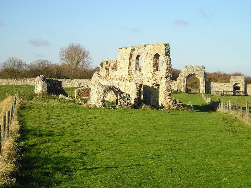
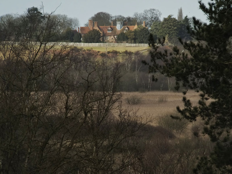
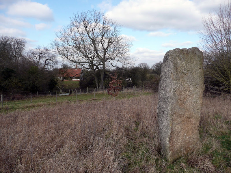
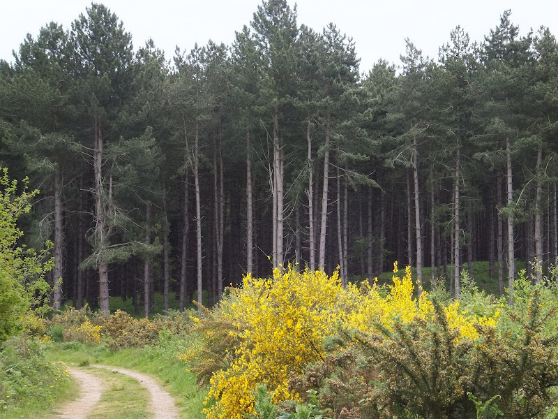
A 15 mile circular walk along the Sandlings footpath between Dunwich and Southwold, with an option of returning either via the beach or the Suffolk Coast Path through Dingle Marshes

This is the final stage of the Sandlings Walk from Ipswich to Southwold. Starting at Dunwich, it takes the trails through Dunwich Forest and heads over Walberswick Heath to Southwold. The woods are full of mushrooms and nuts and berries this time of year... and hops! This is a lovely walk through the woods and well worth the effort. To make the route circular, the return is either via Dingle Marshes, or the Suffolk Coast Path or if the tide is out then its an easy walk along the beach.

Dunwich to Walberswick

Aldborough

A 13 mile Suffolk circular walk connecting Dunwich and Walberswick

This walk encapsulates coast, forest and marsh presenting a myriad of landscapes. Making use of both the Sandlings and Suffolk Coast Path, it is a simple and easily navigated wander to fill a days exploration

Sunday 9 February 2020

Suffolk Coast Path

Martello Tower at Bawdsey

An overview of the Suffolk Coast Path, a 60 mile long distance path following the coast of Suffolk

A 60 mile long distance footpath from Felixstowe to Lowestoft in easy stages through some of the characteristic landscapes of the Suffolk Coast and Heaths Area of Outstanding Natural Beauty. The path also includes the Orford Loop which provides access through to Orford and the Butley Ferry. Alternative beach walks, providing the tide is right, can be undertaken throughout.

Tuesday 7 January 2020

In Search of the Lost City of Dunwich

A circular walk between Leiston and Dunwich

This walk uses the beach and the Sandlings Path to provide a days walk to Dunwich from Leiston via Sizewell. One should time this walk such that the beach is walked a couple of hours either side of low tide when there is a little sand to walk along. At other times the beach is predominantly shingle and the walker may find it easier to follow the Suffolk Coast Path which is waymarked from the north side of Minsmere where it continues up onto the cliffs.

Tuesday 17 December 2019

The Sandlings Walk - Bromeswell to Snape

Wantisden church

A 16 mile walk along the Suffolk Sandlings Path between Bromeswell and Snape taking in Rendlesham and Tunstall forests

The route leads across gorse covered heathland and through forest which typifies the modern landscape of the Sandlings. The forests are a modern development, set up with the founding of Forestry Commission during the 1920's to provide Britain with a sustainable source of timber. One cannot fail to notice the twin airbases of Woodbridge and Bentwaters, the scene of a infamous military encounter with a UFO during December 1980.

Friday 29 November 2019

In search of the lost Suffolk village of Hethern

Westwood Lodge with what is thought to be the old track leading down to the marsh

A 5 mile walk through Dunwich forest to the medieval site of the lost village of Hethern

Dunwich forest is always a good place to walk and find peace amid the fora, fauna and wildlife. There are information boards that provide details of this ever changing world of nature but there is nothing about its history. Little is known of the medieval village of Hethern or the landmarks of Stonehill Bridge and Stonehill Castle which are recorded in the 15th century Westleton Extents. This document records that they stood aside a now lost road directly linking Dunwich to Blythburgh and which cut across the marshes.

Thursday 28 November 2019

A Walk to Suffolks Mystery Brampton Standing Stone

A 14 mile walk between Halesworth and Beccles along the East Suffolk Line Path

This waymarked route links the railway stations at Halesworth, Brampton and Beccles. Taking the train between these towns will provide an interesting glimpse of what is in store along the walk, including the rather curious Belle Grove Farm looking as if it is out of some fantasy movie and the mysterious Brampton Standing Stone just south of Brampton Station.

A Walk through the Woods on Kenton and Goose Hills

Goose Hill

An easy 7 mile circular walk through the woodland around Sizewell on the Suffolk Coast

Suffolk is not best known for its hills and Kenton Hill and Goose Hill probably would not be regarded as hills but for their name. However this wooded area offers an ever changing scenery throughout the year with the mixture of conifer and broad leafed trees, flora and fauna and a variety of wildlife. There is also a viewing platform overlooking the Minsmere marshes

Sunday 22 September 2019

In Search of Sizewell Chapel

Broom Covert

A 10 mile walk following the southern side of the parish boundary of Leiston in Suffolk

This walk follows the route of a 17th century perambulation around the southern side of the Leiston Parish boundary. The walk uses the ancient track down to Sizewell and continues down to Thorpe before turning inland to follow the River Hundred through to Cold Fair Green. The details are contained in two articles, this being the first, focusing on the medieval history of Sizewell.

Saturday 12 January 2019

Down the Blyth Valley in Pursuit of Black Shuck

River Blyth near Halesworth

An 18 mile walk down the Blyth Valley in Suffolk from Halesworth to Blythburgh, then across the heaths and commons to Leiston.

It was the legendary hell hound that supposedly came this way in 1577 and terrified parishioners of Blythbrugh church after doing a similar job at Bungay. This walk is in two sections, the first section follows the River Blyth along the Waveney Way to Blythburgh with the option to continue on to Southwold. The Waveney Way is a Ramblers Association walk and does not have waymarkers along the route. An optional second section cuts across to Westleton and onto Leiston. Both Southwold and Leiston have public transport links to Halesworth making the walk achievable as a linear route without the requirement of assistance of a taxi.

Monday 7 January 2019

A Walk to the Dunwich Leper Chapel

Leper Chapel

A 14.25 mile circular walk between Leiston to Dunwich

A simple walk using the Suffolk Coast Path from Sizewell to Dunwich with a visit to the ruins of the 12th century Leper Chapel. The return uses the the footpath via Mount Pleasant to get onto the Sandlings Path across Dunwich Heath to return back to Leiston.

Wednesday 2 January 2019

A Walk around Suffolk's Minsmere Bird Reserve

Minsmere sluice

A 10 mile circular walk through the Suffolk Coastal Area of Outstanding Natural Beauty taking in Sizewell and the Minsmere Bird Reserve

One does not have to have an enthusiasm for ornithology to enjoy this walk. The natural surroundings of marshland and heathland are enough to inspire everyone and there is a lot of associated history along this route which dates back to the 12th century when Leiston Abbey once occupied an island in the marshes. Note that charges apply to the Minsmere section.

A Trek Around Sole Bay

Sole Bay

A 24 mile circular walk between Sizewell and Southwold along the Suffolk Coast Path and Sandlings Walk.

Back in the 17th Century, Southwold was England's main fleet anchorage. Sole Bay (Sawolde Bay) was a bay centred on Southwold with Easton Ness to the North and Dunwich to the South. In May 1672 this bay was the scene of a fierce sea battle when a fleet of 75 Dutch ships took an Anglo-French fleet by surprise. There were heavy losses on both sides in this, the first naval battle of the third Anglo Dutch War, but luckily for the English fleet the wind turned to their favour resulting in their success in the battle. Today coastal erosion has straightened the coastline of the former bay and all that remains of the battle are the stories and the cannons pointing out to sea on Gun Hill.

Tuesday 1 January 2019

Leiston to Walberswick Circular Walk

Sole Bay

A 22 mile circular walk between Leiston and Walberswick incorporating sections of the Suffolk Coast Path and Sandlings Walk.

This walk uses the beach at low tide to get from Sizewell to Walberswick, returning through Dunwich forest. Walberswick is said to be the most haunted place in Britain though one would not think it from its relaxed and laid back character, famous for its crabbing pastimes.

Leiston to Westwood Marsh

The old Westwood Marsh Pumping Mill

A walk encompassing the Westwood Marshes footpath into a circular route from Leiston

The Westwood Marshes footpath is little gem of a path that links the Newdelight Walks with the Suffolk Coast Path through the Westwood marshes. The route for this walk uses this path as the ultimate destination from Leiston but shorter alternatives to include this path are also detailed.

Saturday 29 December 2018

Gipping Valley Way - Needham Market to Ipswich

near Pipps Ford

A 13 mile walk following Suffolk's River Gipping between Needham Market and Ipswich

A riverside walk tracing the route of the River Gipping as it heads through Suffolk to join the tidal waters of the Orwell at Ipswich. A gentle ambling route that twists and turns through the countryside which presents a perfect summers walk.

Monday 17 December 2018

Tales of Sundials, Witchcraft and Ghostly happenings in Saxmundham

A 2 mile circular walk around the Suffolk town of Saxmundham using the Town Trail

A simple tour of Saxmundham that can be added onto the East Suffolk Line Walks or to while away a couple of hours on a lazy afternoon, including searching out the unique tombstone sundial in St Johns churchyard, and finding the haunted Monks Cottages.

The Sandlings Walk

The Sandlings Waymarker

An overview of the Sandlings Walk, a 55 mile long distance path through the forests and heaths of East Suffolk

The Sandlings is a 55 mile walk starting at Rushmere Heath on the eastern side of Ipswich with Southwold, passing through the remaining fragments of East Suffolks Sandling Heaths. The trail leads through Rendlesham, Tunstall and Dunwich forests and also includes riverside walks at Woodbridge and heathland walks across Rushmere Heath, Sutton Heath, Thorpeness Common and Dunwich Heath..

Saturday 15 December 2018

A Walk through the The Vale of Slaughden

Thames barge heading down river

An exhilarating 4 mile walk along the defence banks of Suffolk's River Alde estuary beginning and ending at Slaughden Quay

Once known as the Vale of Slaughden, the area below Aldeburgh presents a big open landscape across the marsh with the wide estuary waters of the River Alde as it meanders alongside the coast. Once upon a time Slaughden was a bustling fishing village but in present day it is all under the waves and a narrow spit of shingle is all that divides the North Sea from the gentle waters of the river.

Sunday 4 February 2018

In Search of Sizewell and Thorpe Beacons

Sizewell

A 10 mile walk following the southern side of the parish boundary of Leiston in Suffolk

This is the second article devoted to the walk following the route of a 17th century perambulation around the southern side of the Leiston Parish boundary. This article is concentrates on two landmarks from the past, namely Sizewell and Thorpe Beacons, which are thought to have been part of the Armada warning system.

Walk Summaries

Latest walk summaries are basic information sheets for walks that have yet to be fully documented. These provide links to maps, public transport and walks stats, although detailed notes and features are not included.

Latest Walk Summaries

Featured Walk

In Search of Sizewell Chapel

A 10 mile walk following the southern side of the parish boundary of Leiston in Suffolk This walk follows the route of a 17th century peramb...

What is GPX

All you need to know about GPX, electronic mapping and how to use modern apps and mobile devices as navigation devices

Popular Walks

Maps