Route details, maps, pubs, features, local history and folklore for a wide variety of walks focusing primarily on Norfolk and Suffolk

Walks
Showing posts sorted by date for query Norwich. Sort by relevance Show all posts

Friday 6 December 2019

The Wensum Way - Dereham to Lenwade

River Wensum near Bylaugh

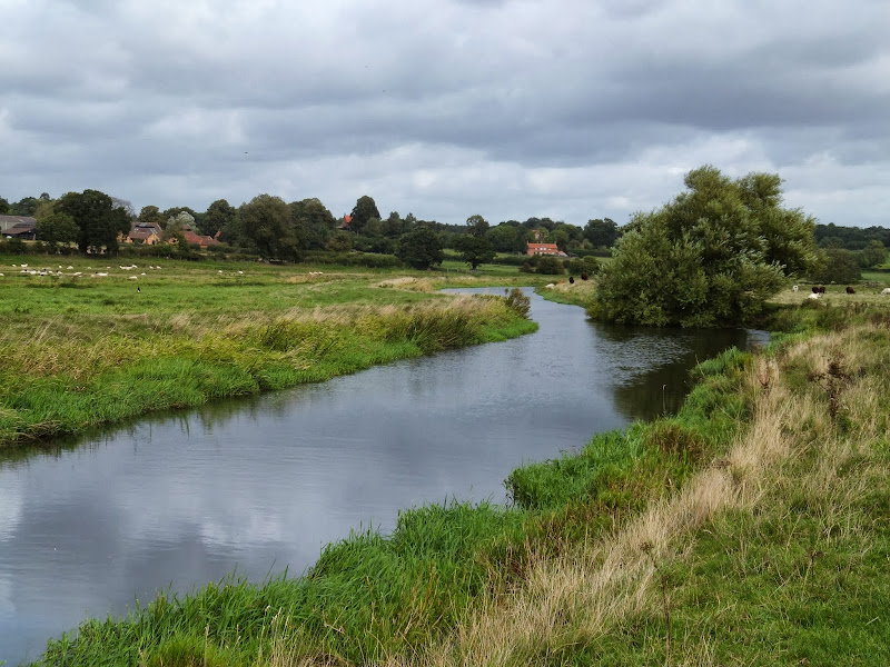
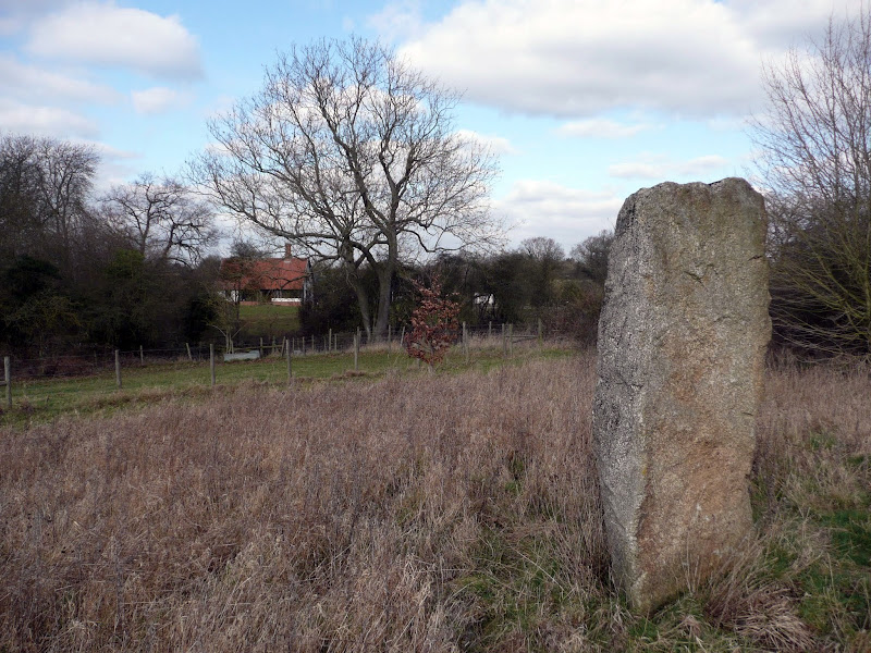
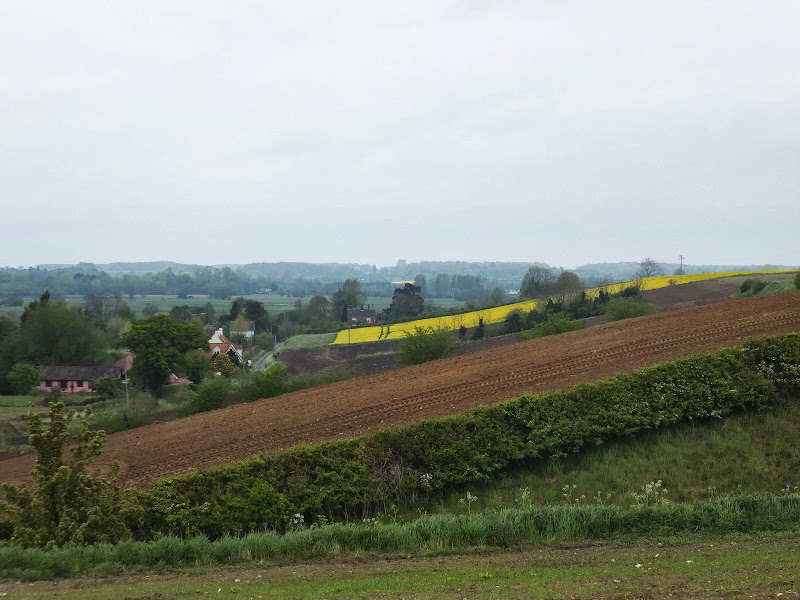
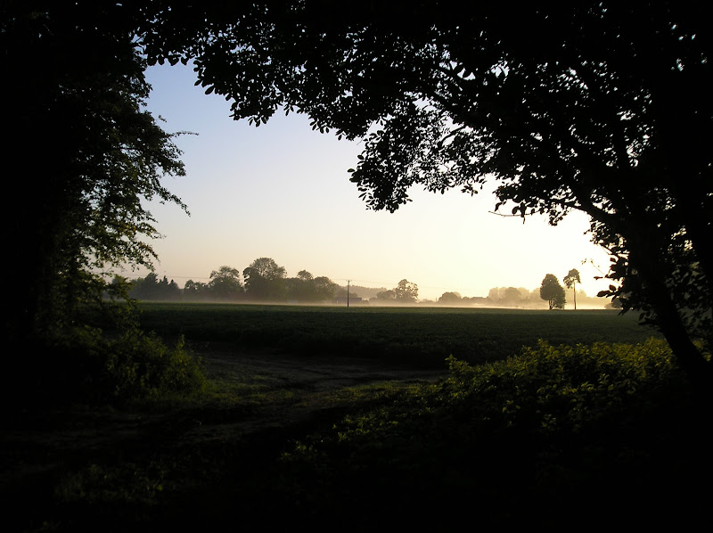
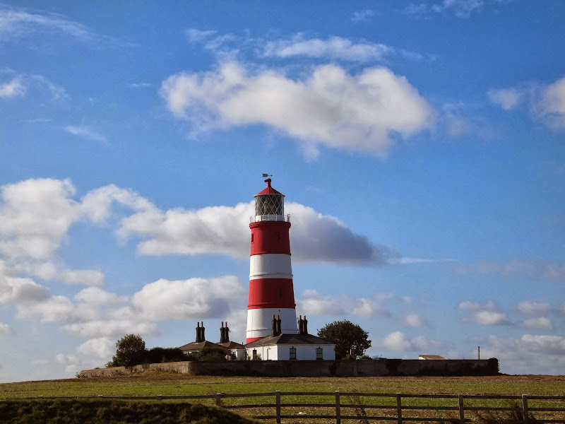
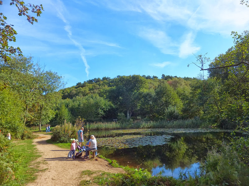
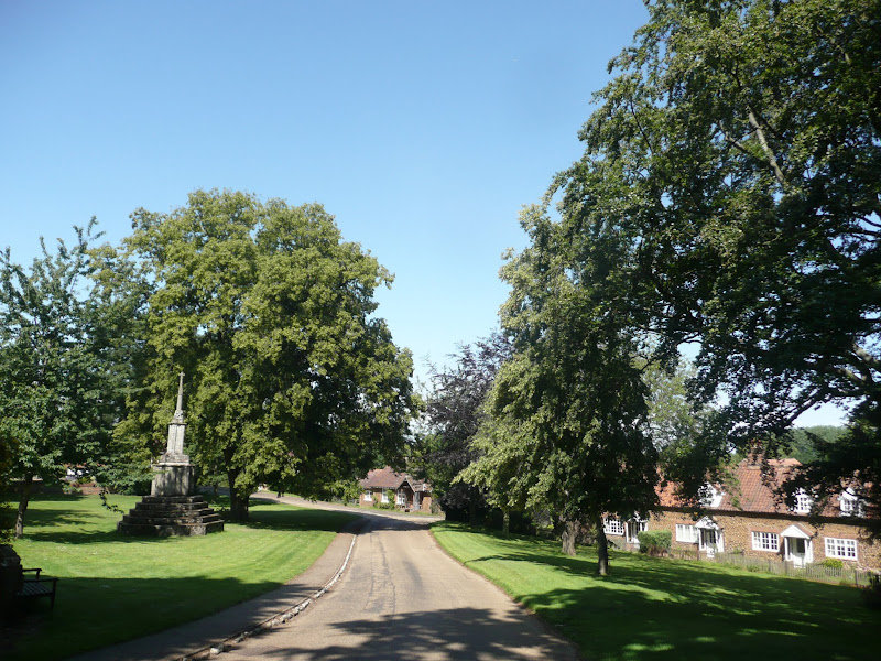
A 13 mile walk through the Norfolk countryside following the Wensum Way

Opened in 2012, the Wensum Way was the connecting link between the Nar Valley Way and The Marriott's Way to enable a Cross Norfolk Trail from Kings Lynn to Great Yarmouth. The name of the trail is taken from the River Wensum which it follows from Swanton Morley through to Lenwade. This is a picturesque ramble through the Norfolk countryside.

Nar Valley Way - Kings Lynn to Narborough

Brick remains from the bridge which carried the former Kings Lynn to Dereham railway

A 15 mile walk following the River Nar from its outlet to the River Ouse up to Narborough

The walk starts along the quayside at Kings Lynn with all its fascinating historic buildings. The path soon heads out into open countryside following the river across this open landscape. Big skies. Views for miles and little in the way of civilisation until Narborough is reached.

Thursday 28 November 2019

A Walk to Suffolks Mystery Brampton Standing Stone

A 14 mile walk between Halesworth and Beccles along the East Suffolk Line Path

This waymarked route links the railway stations at Halesworth, Brampton and Beccles. Taking the train between these towns will provide an interesting glimpse of what is in store along the walk, including the rather curious Belle Grove Farm looking as if it is out of some fantasy movie and the mysterious Brampton Standing Stone just south of Brampton Station.

Wednesday 27 November 2019

A Hike along the Marriotts Way

Sculpture that marks the start of the Marriotts Way at Norwich

The Marriott's Way links Aylsham and Norwich following the former trackbed of the Midland and Great Northern Railway.

The Marriott's Way is a footpath, bridleway and cycle route, which follows the routes of two disused railway lines, and runs between the historic market town of Aylsham and the medieval city of Norwich. Along with the mileage markers which are created from old rails complete with a metal rubbing plaque, there are numerous concrete sculptures, village markers, interactive sound boxes and benches which all provide added interest and information along the route.

Tuesday 26 November 2019

Horstead to Heggatt Circular Walk

Horstead millpond and mill

A stroll along the southern side of the River Bure to the ancient hamlet of Heggatt

This short walk takes one through country lanes and along old tracks and footpaths on the southern side of the River Bure. Highlights include the ruins of Horstead Mill and views across the valley to Coltishall and Belaugh. Plus a walk would not be complete without a little piece of folklore, and this one is all about a prophesy centred around a tree on Heggatt Common

Friday 5 April 2019

The Alde Valley Walk - Leiston to Wickham Market

Beversham Mill

A 16 mile walk along the East Suffolk Line Path between Leiston and Wickham Market

Although the official route for the East Suffolk Line Path links the stations at Saxmundham and Campsea Ashe, this provides an alternative route using the local bus service to link the two ends. Highlights along the route include the picturesque Beversham Mill and the legendary Blaxhall Stone which is said to progressively grow in size.

Thursday 21 March 2019

Bittern Line Walk - Cromer to North Walsham

Antingham Pounds

A 11.5 mile walk following the Bittern Line between Cromer and North Walsham

The Bittern Line provides the rail gateway to North East Norfolk from Norwich. Although there are no officially documented walks that link its stations, this walk seeks to rectify this and links Cromer and North Walsham using country lanes, footpaths and tracks. Stunning countryside, typical Norfolk villages and always something new to discover.

Thursday 24 January 2019

Angles Way - Earsham to Beccles

Waveney Valley from Mettingham

A 12 mile walk along the Angles Way between Earsham and Beccles

The walk starts by heading up the hills that overlook Outney Common. This is a really rewarding start to an easy ramble that continues across the Waveney Valley to Mettingham before continuing down the Waveney Valley. Although Geldeston is on the opposite side of the river to The Angles Way the excursion across the Shipmeadow marshes is well worth the effort to visit the unique Geldeston Locks Inn.

Folklore Trail around East Runton

Railway bridge at the end of Thains Lane with Inclborough Hill in the background

A 4 mile walk between East Runton and Cromer searching out old folklore

Using country lanes and tracks, this circular trail navigates around a East Runton to visit the various locations in Runtons history and folklore. Woodhill House is the location of an unidentified skeleton found during road widening. Thains Lane has the village's old smithy. The old Windmill sets the scene for the emanation of ghostly lights that crossed over to a copse. With a pub stop at Cromer and return via the redefined course of the Norfolk Coast Path, this makes for an excellent short walk on a spooky Autumn evening.

Monday 21 January 2019

An Amble up the Deben Estuary

Felixstowe Ferry

A 13 mile walk along the River Deben in Suffolk, starting at Felixstowe and ending in Martlesham

The lovely walk along the Deben estuary. Although parts are inaccessible due to breaches of the flood banks, the mix of riverside paths, country lanes and footpaths provides an ideal mix of landscapes to keep any walker fascinated. The May bush pub offers a perfect place to take a rest and refreshment, its riverside location unbeatable.

Sunday 20 January 2019

Walk Around the Wash - Fosdyke to Sutton Bridge

River Nene at Scott Lighthouse

An 18 mile along the sea defence banks from Fosdyke to Sutton Bridge

A fairly extensive walk into the wide open expanse of the Wash along defence banks that lead the way around the extremities of the reclaimed land. It is awe-inspiring, it is remote. An RAF bombing range occupies a length of the furthermost parts but this does not restrict the use of the path. The eastern side of this walk is said to be the area that King John lost the crown jewels in the 13th century when he attempted to cross the Wash.

Friday 18 January 2019

A Walk through the Garden of Suffolk

A 14 mile walk between Saxmundham and Darsham along the East Suffolk Line Walk.

It is Yoxford that gives us the name of this walk which is part of the East Suffolk Line Walks and this specific ramble extends the line walk to return to Leiston where a regular bus service connects the two ends. Yoxford sits on the banks of the River Yox surrounded by three country house parks; Sibton Park that contains large well stocked fishing lake; Grove Park situated in the village; and Rookery Park on the Leiston road. This has earned Yoxford the name of the 'Garden of Suffolk'. The whole route of this walk is a pleasant amble through the rural fields of Suffolk with a return journey through the pretty country lanes following the Minsmere river through to Middleton, Theberton and finally Leiston.

Thursday 17 January 2019

The Icknield Way - Herringswell to Knetishall Heath

A 25 mile walk along the Icknield Way between Herringswell and Knetishall Heath

This section of the Icknield Way reveals just how remote some areas of Suffolk can be. Apart from a couple of isolated hamlets there is nothing but forest trails and fields for the full 25 miles through to Knettishall Heath. This is perfect for those who like the solitude but one does need to make sure ample food and water supplies are taken for this lengthy hike.

Sunday 13 January 2019

Great Dunmow Town Trail

The Doctors Pond

A 3 mile circular walk around the small Essex town of Great Dunmow

With plenty of historic buildings, a fine 13th century church, some great pubs and a fantastic Indian Restaurant this provides any visitor a taste of this ancient town. The walk is simple and easy and one cannot visit Dunmow without discovering the interesting history of the Dunmow Fitch which is the main feature to this walk.

Saturday 12 January 2019

Down the Blyth Valley in Pursuit of Black Shuck

River Blyth near Halesworth

An 18 mile walk down the Blyth Valley in Suffolk from Halesworth to Blythburgh, then across the heaths and commons to Leiston.

It was the legendary hell hound that supposedly came this way in 1577 and terrified parishioners of Blythbrugh church after doing a similar job at Bungay. This walk is in two sections, the first section follows the River Blyth along the Waveney Way to Blythburgh with the option to continue on to Southwold. The Waveney Way is a Ramblers Association walk and does not have waymarkers along the route. An optional second section cuts across to Westleton and onto Leiston. Both Southwold and Leiston have public transport links to Halesworth making the walk achievable as a linear route without the requirement of assistance of a taxi.

Friday 11 January 2019

A visit to the rather curious Happisburgh

Happisburgh lighthouse

A simple 3 mile circular walk along the Norfolk Coast between Happisburgh and Eccles

Happisburgh is curious - it is slowly being taken by the sea, its houses slowly falling victim to the tides. The pub gardens boast a signal box to a railway line that never got built. A lighthouse stands guard to the south and its lifeboat is located at the next village of Eccles. In recent times the tide has uncovered prehistoric human footprints. And there is local folklore of ghostly smugglers and misdeeds. Very curious indeed.

Wednesday 9 January 2019

Holt to Mannngton Circular Walk

An 18 mile circular walk using footpaths and bridleways through the attractive Norfolk countryside between Holt Country Park and the Mannington Estate.

This trail takes in woodland, open countryside, lanes and even a stream which one has to jump across to provide a variety of landscape. The majority of the route is clearly waymarked although the start in Holt country park lacks initial direction as does the section around the Mannington Estate. The only disappointment was the lack of pubs, the Hare and Hounds at Baconsthorpe having last closed its doors in 2010.

Salthouse Sculpture Trail

Pond at Kelling Heath

A 14 mile walk around the Salthouse Sculpture Trail

Inaugurated in 2008 by The North Norfolk Exhibition Projects, this trail across Kelling and Salthouse heaths was set out to exhibit both the natural beauty of North Norfolk alongside examples of contemporary Norfolk art. Although most of the sculptures have now gone, the walk nonetheless provides a peaceful route around this part of the county.

Tuesday 8 January 2019

The Iceni Way - Kings Lynn to Hunstanton

Castle Rising

A 20 mile walk along the Kings Lynn to Hunstanton section of the Iceni Way

There is no official footpath or right of way to walk the complete distance along the coast between Kings Lynn and Hunstanton. It can be done by navigating the defence banks and farm tracks and ignoring the odd 'No Access' sign. However, an alternative walk to link these two towns is to use the Iceni Way. This is a walk designated by the Ramblers using existing tracks and footpaths linking the interesting and scenic villages of Castle Rising, Sandringham and Dersingham before it navigates back to the shores of the Wash at Snettisham. With vast expanses of sand when the tide is out, this part of the coast is truly an awe-inspiring sight looking across towards Boston and Skegness. You can walk out for miles before the sea is reached.

The Angles Way - Knettishall Heath to Diss

Royden Church viewed from across the Waveney Valley with its interesting octagonal upper tower that sits on a round base

A 15 mile walk from the Breckland end of the Angles Way to Diss

This is a picturesque ramble through the numerous fens that follow the course of the Little Ouse and The Waveney Rivers. Thelnetham Fen, Hinderclay Fen, and Redgrave and Lopham Fen are all managed wetlands with well kept paths and a variety of flora, fauna and wildlife. The path also passes through Wortham Ling, an area of managed common land that dates from medieval times. Even though the start of the walk at Knettishall Heath is difficult to get to using public transport, the walk is well worth the effort.

Walk Summaries

Latest walk summaries are basic information sheets for walks that have yet to be fully documented. These provide links to maps, public transport and walks stats, although detailed notes and features are not included.

Latest Walk Summaries

Featured Walk

In Search of Sizewell Chapel

A 10 mile walk following the southern side of the parish boundary of Leiston in Suffolk This walk follows the route of a 17th century peramb...

What is GPX

All you need to know about GPX, electronic mapping and how to use modern apps and mobile devices as navigation devices

Popular Walks

Maps