The Camel Trail - Wadebridge to Padstow
Wednesday, 15 July 2020
|
No comments
|
![]()
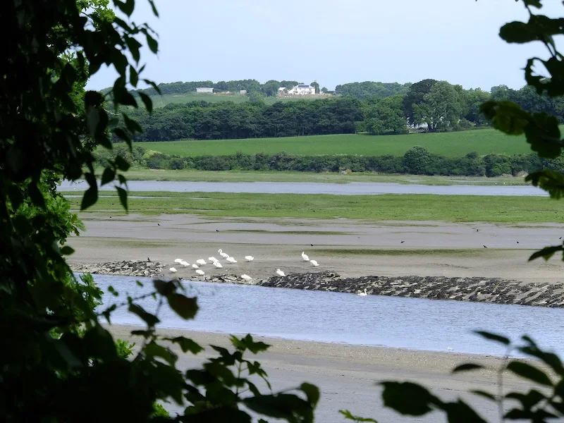
The Camel Trail - Wadebridge to Padstow
A short section of The Camel Trail route that follows the former North Cornwall Railway trackbed. This doubles up as both a cyclepath and a walkway making it suitable to virtually anyone of average fitness. The scenery is glorious as the track winds its way along the Camel estuary.