Route details, maps, pubs, features, local history and folklore for a wide variety of walks focusing primarily on Norfolk and Suffolk

Features:Local History Walks
Showing posts with label Features:Local History. Show all posts

Tuesday 17 December 2019

Lincolnshire Coast Path - Boston to Wrangle

Hobhole Drain from Freiston Bridge looking north

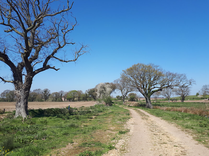
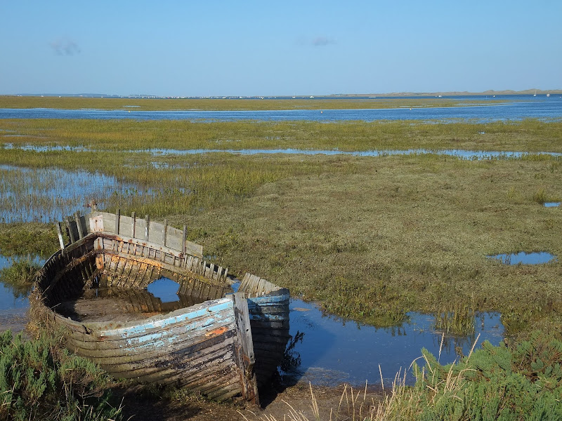
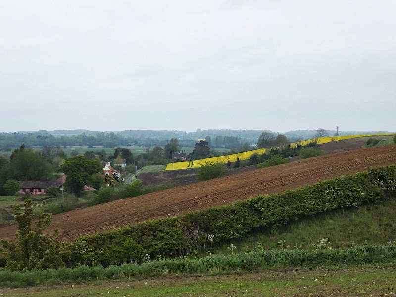
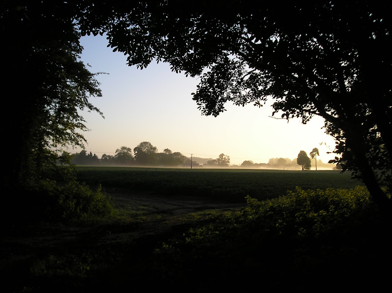
An 10 mile beach walk from Boston to Wrangle

An alternative route to the coastal defence banks that provides a change to the marsh views. Open flat farmland, tiny hamlets, large churches and plenty of pubs along the way. Not strictly part of a coast path but this route roughly follows the coast of medieval times when Wrangle boasted the third largest harbour along this section of coastline.

Monday 16 December 2019

Walk Around the Wash - Boston to Fosdyke

Haven River

An 11 mile along the sea defence banks from Boston to Fosdyke

This walks follows the start of the Macmillan Way as the first stage of the walk around the Wash. The route follows the Haven river before heading down to Fosdyke bridge on the River Welland. The walk is typified with acres of flat marsh, water filled creeks, wide open skies and views for miles around.

Tuesday 10 December 2019

Ouse Valley Way - Bedford to St Neots

River Ouse, Eaton Socon

A 17 mile riverside walk along the Ouse Valley Way between Bedford and St Neots

Despite the increasing urbanisation between Bedord and St Neots, the riverside sections of this walk provide some pleasant rambles. Particularly notable is the 15th century river bridge at Great Barford and the riverside parks at St Neots.

The Icknield Way - Baldock to Fowlmere

An 18 mile walk along the Icknield Way between Baldock and Fowlmere

Although not renowned for its hills, this part of Hertfordshire has some high ground which gives fantastic views out across Hertfordshire and Cambridgeshire and the Icknield Way sticks to the higher ground all the way from Baldock to Royston. There are numerous picturesque villages and hamlets along the route with leafy green tracks and trails to make it a jolly fine days walk.

Exploring the Suffolk Coast and Heaths area of Oustanding Natural Beauty around Aldeburgh

Aldeburgh from the  River Alde estuary

A 12.5 mile walk between Aldringham and Aldeburgh through the Suffolk Coastal Area of Outstanding Natural Beauty

There is a variety of differing scenery along this route, gentle hills around Aldringham, boardwalks across the marshes at The Fens, a walk along the old Aldeburgh railway and an estuary walk along river defences of the Alde. With such treasures as the pretty little church at Aldringham, tucked away in the trees and away from civilisation and the magnificent church of St Peter and St Paul at Aldeburgh, there is plenty to see and explore.

Friday 6 December 2019

A Country Amble between Leiston and Saxmundham

Broad footpath marked out across the fields to Saxmundham

A 5 mile walk across the Coastal Suffolk landscape between Leiston and Saxmundham

This walk searches out footpaths to connect the neighbouring towns of Leiston and Suffolk. Although there is no direct route, the paths chosen are certainly more conducive to the walker than the busy road route. With the churches of Leiston and Knodishall on the route, plus the mysterious Harris's Pit in the parish of Sternfield there is enough to interest the avid rambler. Sternfield also has the notoriety of being the village from which the last woman to be burnt at the stake in England came.

Friday 29 November 2019

In search of the lost Suffolk village of Hethern

Westwood Lodge with what is thought to be the old track leading down to the marsh

A 5 mile walk through Dunwich forest to the medieval site of the lost village of Hethern

Dunwich forest is always a good place to walk and find peace amid the fora, fauna and wildlife. There are information boards that provide details of this ever changing world of nature but there is nothing about its history. Little is known of the medieval village of Hethern or the landmarks of Stonehill Bridge and Stonehill Castle which are recorded in the 15th century Westleton Extents. This document records that they stood aside a now lost road directly linking Dunwich to Blythburgh and which cut across the marshes.

Thursday 28 November 2019

A Walk through the Woods on Kenton and Goose Hills

Goose Hill

An easy 7 mile circular walk through the woodland around Sizewell on the Suffolk Coast

Suffolk is not best known for its hills and Kenton Hill and Goose Hill probably would not be regarded as hills but for their name. However this wooded area offers an ever changing scenery throughout the year with the mixture of conifer and broad leafed trees, flora and fauna and a variety of wildlife. There is also a viewing platform overlooking the Minsmere marshes

Sunday 22 September 2019

In Search of Sizewell Chapel

Broom Covert

A 10 mile walk following the southern side of the parish boundary of Leiston in Suffolk

This walk follows the route of a 17th century perambulation around the southern side of the Leiston Parish boundary. The walk uses the ancient track down to Sizewell and continues down to Thorpe before turning inland to follow the River Hundred through to Cold Fair Green. The details are contained in two articles, this being the first, focusing on the medieval history of Sizewell.

Saturday 11 May 2019

In Search of Polsborough Gate

track to Aldeburgh Road

A 9.5 mile walk following the old Snape Road to the Sailors Path

This walk links Leiston with the Sailors Path following the old traditional road that used to link the town with Snape. There is then an outstanding ramble across Black heath and Hazlewood marshes through to Aldeburgh where a regular bus service links back with the start. Along this route was what in the 1700s was known as Polsborough Gate, a landmark whose position and derivation is unknown but with a little research some information about it can be determined

Saturday 26 January 2019

Norfolk Coast Path - Cley to Wells-next-the-Sea

Marshes near Blakeney

A 10 mile walk following the Norfolk Coast Path between Cley and Wells-next-the-Sea

An easy walk along the Norfolk Coast Path navigating out across the marshes to Blakeney then along the marsh perimeter to Wells. Blakeney is a worthy stopping point to explore Mariners Hill and the Guildhall and take in the legends of the Blakeney tunnels and the tragic story of the Blakeney Fiddler who is depicted on the village sign.

Thursday 24 January 2019

Angles Way - Earsham to Beccles

Waveney Valley from Mettingham

A 12 mile walk along the Angles Way between Earsham and Beccles

The walk starts by heading up the hills that overlook Outney Common. This is a really rewarding start to an easy ramble that continues across the Waveney Valley to Mettingham before continuing down the Waveney Valley. Although Geldeston is on the opposite side of the river to The Angles Way the excursion across the Shipmeadow marshes is well worth the effort to visit the unique Geldeston Locks Inn.

Tuesday 22 January 2019

South West Coast Path - Falmouth to Helford Passage

Durgan

A 10 mile walk along the Cornish section of the South West Coast Path between Falmouth and the Helford Crossing

A picturesque walk following the coast on from the Fal estuary round to the Helford River where a ferry links the village of Helford. The views are spectacular throughout this moderately challenging walk and includes a glorious stroll across the pasture-land around Rosemullion Head.

Monday 21 January 2019

An Amble up the Deben Estuary

Felixstowe Ferry

A 13 mile walk along the River Deben in Suffolk, starting at Felixstowe and ending in Martlesham

The lovely walk along the Deben estuary. Although parts are inaccessible due to breaches of the flood banks, the mix of riverside paths, country lanes and footpaths provides an ideal mix of landscapes to keep any walker fascinated. The May bush pub offers a perfect place to take a rest and refreshment, its riverside location unbeatable.

Sunday 20 January 2019

Walk Around the Wash - Fosdyke to Sutton Bridge

River Nene at Scott Lighthouse

An 18 mile along the sea defence banks from Fosdyke to Sutton Bridge

A fairly extensive walk into the wide open expanse of the Wash along defence banks that lead the way around the extremities of the reclaimed land. It is awe-inspiring, it is remote. An RAF bombing range occupies a length of the furthermost parts but this does not restrict the use of the path. The eastern side of this walk is said to be the area that King John lost the crown jewels in the 13th century when he attempted to cross the Wash.

The Icknield Way - Fowlmere to Linton

A 16 mile walk along the Icknield Way between Fowlmere and Hinton

The path keeps to the ridge along the hills, though the land now flattens out as it heads eastwards. There are picturesque villages and hamlets as the route winds its way through some traditional old English countryside.

Saturday 19 January 2019

Lancashire Coastal Way - Freckleton to Lytham St Annes

View across the Ribble estuary

A 10 mile walk along the Lancashire Coastal Way from Freckleton to Lytham.

The Lancashire Coastal way is a 137 mile footpath following the coastline between Merseyside and Cumbria. The starting point is at the little village of Freckleton which lies midway between Preston and Lytham St Annes on the Ribble Estuary. This first section through to Lytham follows the estuary along the salt marshes and alongside the Warton airbase. Views can be seen across the estuary towards Southport and beyond are the hills of Wales. A fine days walk that takes one from river to coast.

Friday 18 January 2019

A Walk through the Garden of Suffolk

A 14 mile walk between Saxmundham and Darsham along the East Suffolk Line Walk.

It is Yoxford that gives us the name of this walk which is part of the East Suffolk Line Walks and this specific ramble extends the line walk to return to Leiston where a regular bus service connects the two ends. Yoxford sits on the banks of the River Yox surrounded by three country house parks; Sibton Park that contains large well stocked fishing lake; Grove Park situated in the village; and Rookery Park on the Leiston road. This has earned Yoxford the name of the 'Garden of Suffolk'. The whole route of this walk is a pleasant amble through the rural fields of Suffolk with a return journey through the pretty country lanes following the Minsmere river through to Middleton, Theberton and finally Leiston.

Thursday 17 January 2019

The Icknield Way - Herringswell to Knetishall Heath

A 25 mile walk along the Icknield Way between Herringswell and Knetishall Heath

This section of the Icknield Way reveals just how remote some areas of Suffolk can be. Apart from a couple of isolated hamlets there is nothing but forest trails and fields for the full 25 miles through to Knettishall Heath. This is perfect for those who like the solitude but one does need to make sure ample food and water supplies are taken for this lengthy hike.

Sunday 13 January 2019

Great Dunmow Town Trail

The Doctors Pond

A 3 mile circular walk around the small Essex town of Great Dunmow

With plenty of historic buildings, a fine 13th century church, some great pubs and a fantastic Indian Restaurant this provides any visitor a taste of this ancient town. The walk is simple and easy and one cannot visit Dunmow without discovering the interesting history of the Dunmow Fitch which is the main feature to this walk.

Walk Summaries

Latest walk summaries are basic information sheets for walks that have yet to be fully documented. These provide links to maps, public transport and walks stats, although detailed notes and features are not included.

Latest Walk Summaries

Featured Walk

In Search of Sizewell Chapel

A 10 mile walk following the southern side of the parish boundary of Leiston in Suffolk This walk follows the route of a 17th century peramb...

What is GPX

All you need to know about GPX, electronic mapping and how to use modern apps and mobile devices as navigation devices

Popular Walks

Maps