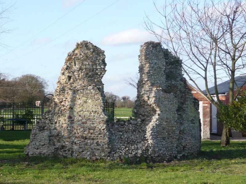
In Search of Sizewell Chapel
|
Sunday 22 September 2019
|
1 comment |
![]()

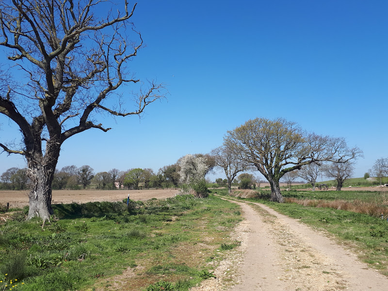
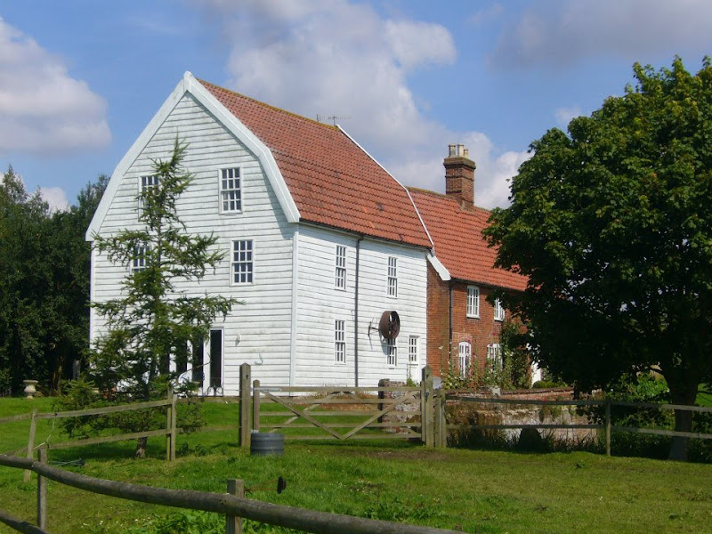
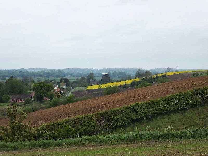
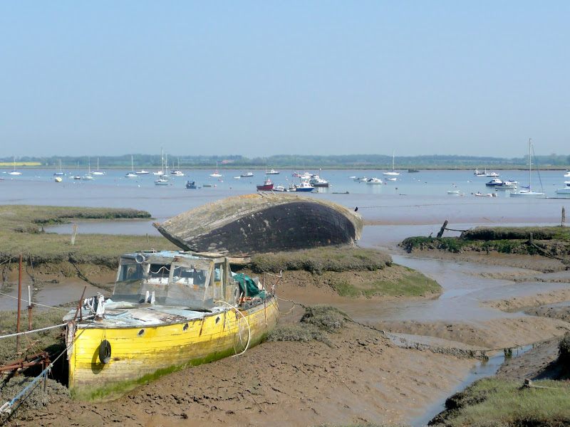
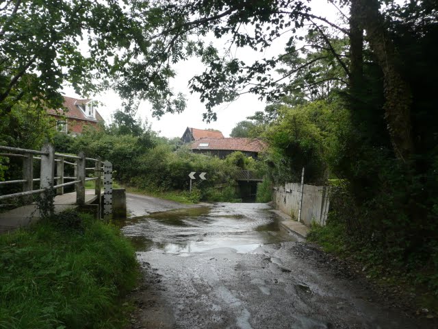
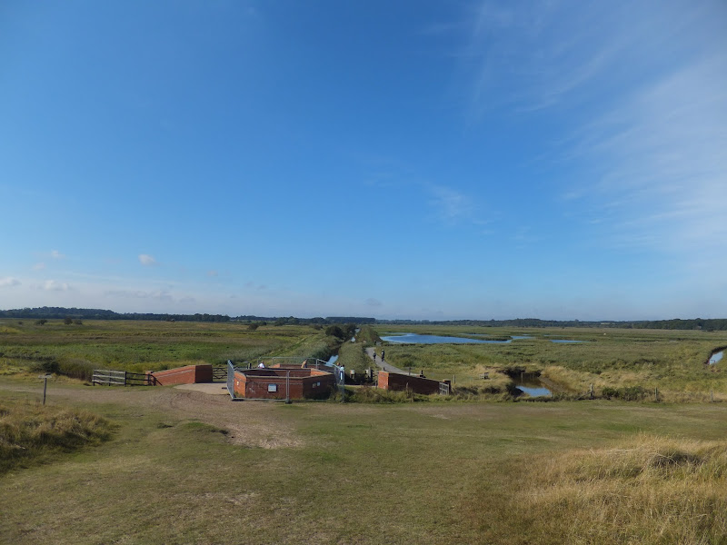
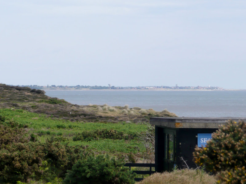
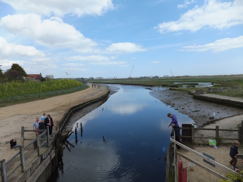
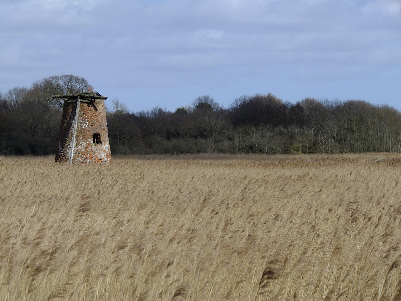
A 10 mile walk following the southern side of the parish boundary of Leiston in Suffolk
This walk follows the route of a 17th century perambulation around the southern side of the Leiston Parish boundary. The walk uses the ancient track down to Sizewell and continues down to Thorpe before turning inland to follow the River Hundred through to Cold Fair Green. The details are contained in two articles, this being the first, focusing on the medieval history of Sizewell.