Route details, maps, pubs, features, local history and folklore for a wide variety of walks focusing primarily on Norfolk and Suffolk

Walks
Showing posts sorted by relevance for query Kessingland. Sort by date Show all posts

Sunday 30 December 2018

Suffolk Coast Path - Lowestoft to Southwold Inland Route

Covehithe church

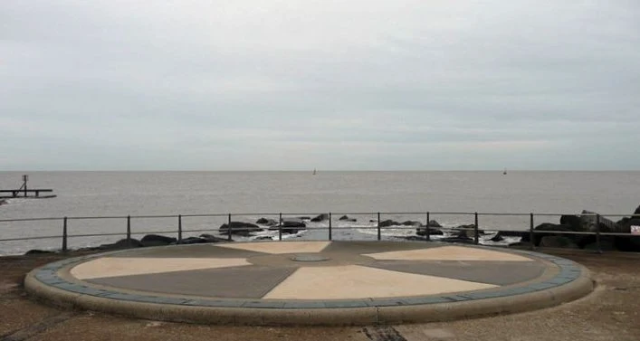
A 17 mile walk using the official inland route of the Suffolk Coast Path from Lowestoft to Southwold

Due to erosion and tides the Suffolk Coast Path takes an inland diversion for the section between Lowestoft and Southwold. Although the alternative beach route can be accessed providing the tides are right, this route nonetheless has its worth especially for the picturesque section around Frostenden.

Wednesday 14 November 2018

Norfolk/Suffolk Coast - Gorleston to Kessingland

A 14 mile coastal walk between Gorleston and Kessingland crossing the border from Norfolk to Suffolk

This mighty fine walk takes the avid rambler to the most easterly point of the British Isles, Ness Point that is located in front of Lowestoft. The point is marked with a large circular ground compass with distances and direction to well known landmarks around the globe. The route uses cliff top paths, proms and beaches and makes for a great days walking.

Wednesday 23 February 2022

Suffolk Coast Path - Lowestoft to Southwold Beach Route

Lowestoft to Southwold Beach Route

An exhilarating 12 mile coastal walk along the Suffolk Coast.

The Suffolk Coast Path runs between Lowestoft and Southwold but due to coastal erosion has been diverted inland which results in some road walking, including along the main A12 between Pakefield and Kessingland. An alternative route is to follow the coast as it is possible to walk the entire distance along the beach providing one times the walk to coincide with low tide. This section is worth making the effort to walk, just to view the trees that are slowly being taken by the sea at Benacre and Covehithe broads where the distance between the broad and the sea is a mere sandy section of beach.

Sunday 9 February 2020

Suffolk Coast Path

Martello Tower at Bawdsey

An overview of the Suffolk Coast Path, a 60 mile long distance path following the coast of Suffolk

A 60 mile long distance footpath from Felixstowe to Lowestoft in easy stages through some of the characteristic landscapes of the Suffolk Coast and Heaths Area of Outstanding Natural Beauty. The path also includes the Orford Loop which provides access through to Orford and the Butley Ferry. Alternative beach walks, providing the tide is right, can be undertaken throughout.

Sunday 10 December 2017

Southwold to Blythburgh along the former Southwold Railway

Blythburgh

A linear walk along the former trackbed of the Southwold Railway to Blythburgh

The Southwold Railway was a narrow gauge line that linked Halesworth and Southwold. This closed in 1929 but the track bed is still in existence to Blythburgh and makes an excellent walk. The White Hart pub offers a place for refreshment before returning along the same route. Outstanding views across the Blyth estuary and easy walking across heath and woodland make this a well worthwhile excursion.

Wednesday 21 November 2018

Winterton to Great Yarmouth Beach Walk

Hemsby

A 9 mile beach walk between along the Norfolk coast from Winterton to Great Yarmouth

This walk is probably better known as Robinson Crusoe's walk since this is where Daniel Defoe places his character, in the novel of the same name, after being shipwrecked with a resulting walk to Great Yarmouth. Although such a stormy day would not make the best of walks, when the sun shines and the tide is out this really is a great walk.

Walk Summaries

Latest walk summaries are basic information sheets for walks that have yet to be fully documented. These provide links to maps, public transport and walks stats, although detailed notes and features are not included.

Latest Walk Summaries

Featured Walk

In Search of Sizewell Chapel

A 10 mile walk following the southern side of the parish boundary of Leiston in Suffolk This walk follows the route of a 17th century peramb...

What is GPX

All you need to know about GPX, electronic mapping and how to use modern apps and mobile devices as navigation devices

Popular Walks

Maps