Route details, maps, pubs, features, local history and folklore for a wide variety of walks focusing primarily on Norfolk and Suffolk

Walks
Showing posts sorted by date for query Leiston. Sort by relevance Show all posts

Monday 7 January 2019

A Walk to the Dunwich Leper Chapel

Leper Chapel

A 14.25 mile circular walk between Leiston to Dunwich

A simple walk using the Suffolk Coast Path from Sizewell to Dunwich with a visit to the ruins of the 12th century Leper Chapel. The return uses the the footpath via Mount Pleasant to get onto the Sandlings Path across Dunwich Heath to return back to Leiston.

Friday 4 January 2019

A Walk Around the Churches of Knodishall and Friston

An 8.4 mile circular walk around the Suffolk villages of Knodishall and Friston

An easy ramble across the Suffolk countryside, with the highlight being the hidden ruins of St Peters Church in the old parish of Buxlow, now a part of Knodishall. There's some fascinating history on this walk along paths that are off the beaten track but nonetheless well maintained.

Thursday 3 January 2019

Tracks and lanes to Glemham

Benhall Ford

A 22 mile route that can be either walked or cycled through the Suffolk countryside around Snape, Blaxhall and Glenham

A glorious route through the Suffolk countryside using a mixture of lanes, tracks, bridleways and little used country roads. This can be either walked or cycled and provides a full days outing taking in the picturesque villages of Snape, Blaxhall, Little Glemham, Great Glemham and Benhall which these days is split into two with the A12 separating Benhall Low Street from Benhall Green. Along the route is the Parham Airfield Museum, although this is only open on Sundays between April to October.

Wednesday 2 January 2019

A Walk around Suffolk's Minsmere Bird Reserve

Minsmere sluice

A 10 mile circular walk through the Suffolk Coastal Area of Outstanding Natural Beauty taking in Sizewell and the Minsmere Bird Reserve

One does not have to have an enthusiasm for ornithology to enjoy this walk. The natural surroundings of marshland and heathland are enough to inspire everyone and there is a lot of associated history along this route which dates back to the 12th century when Leiston Abbey once occupied an island in the marshes. Note that charges apply to the Minsmere section.

A Trek Around Sole Bay

Sole Bay

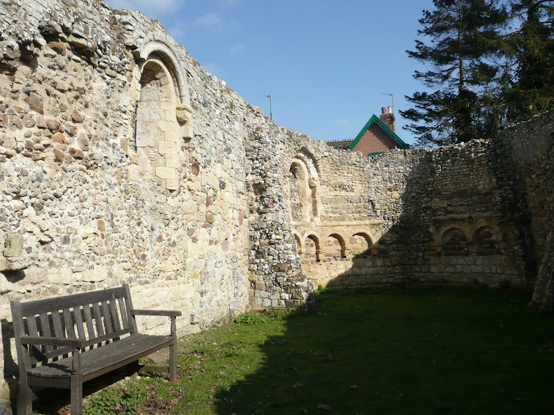
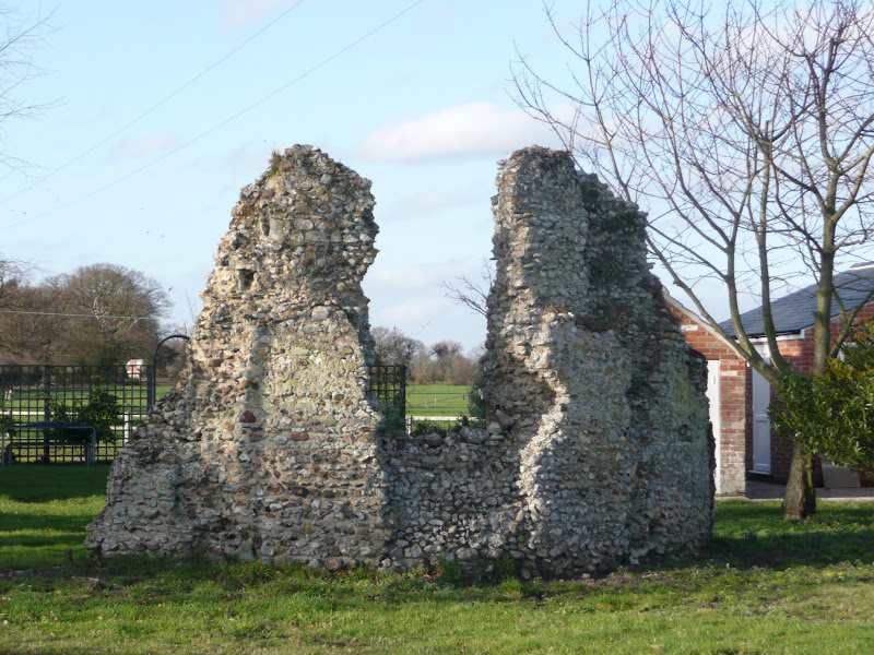
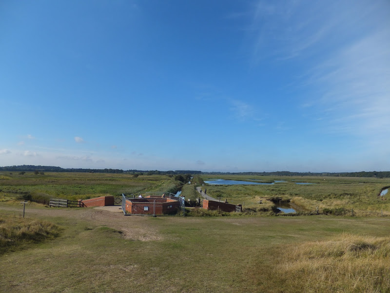
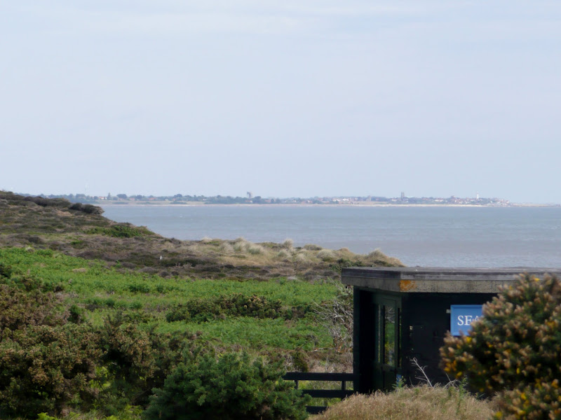
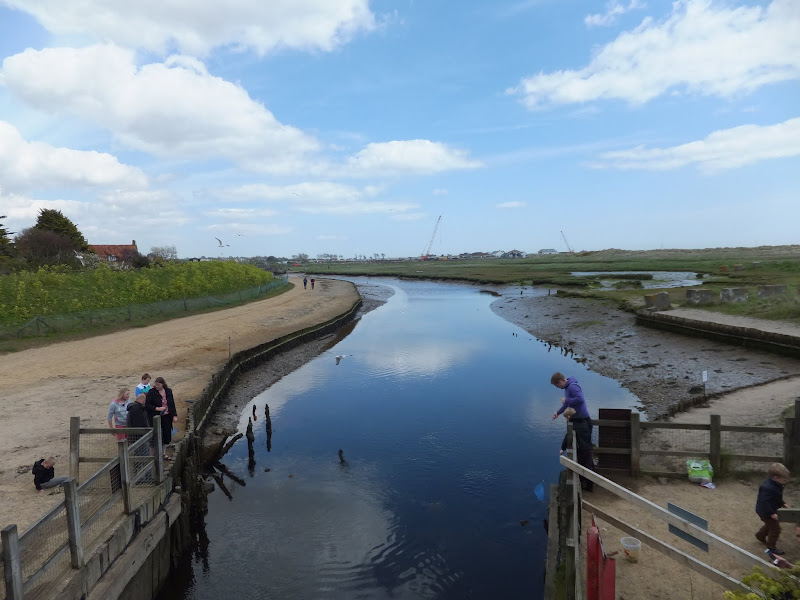
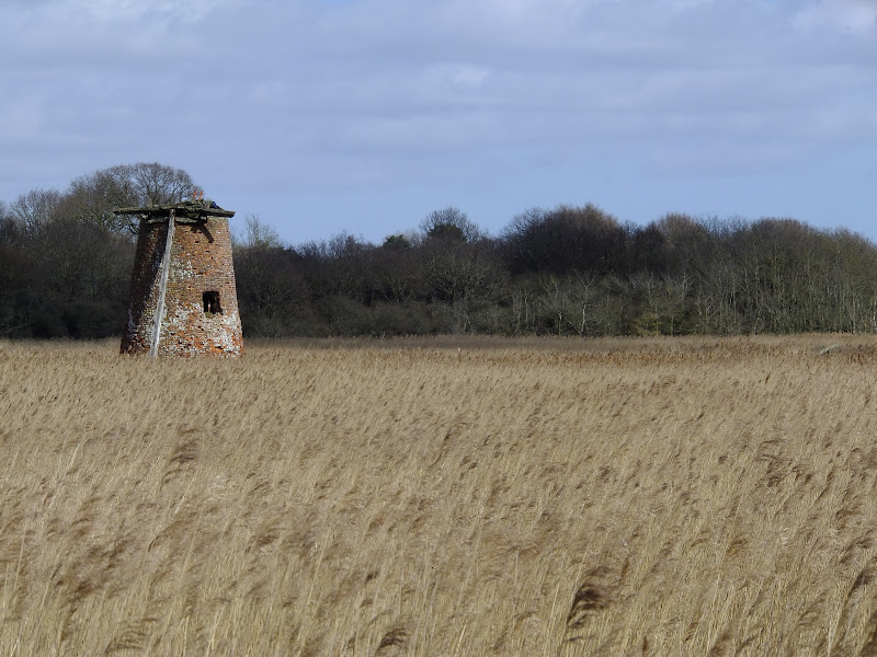
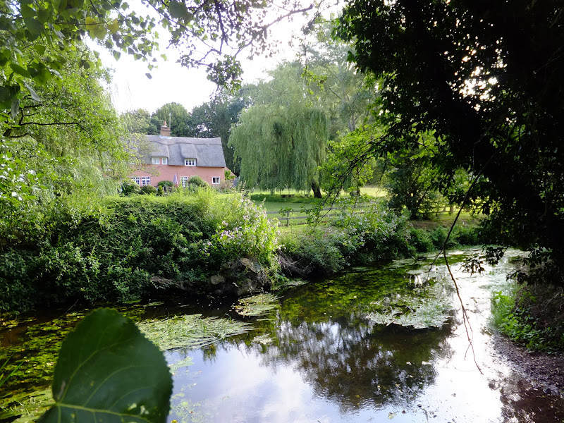
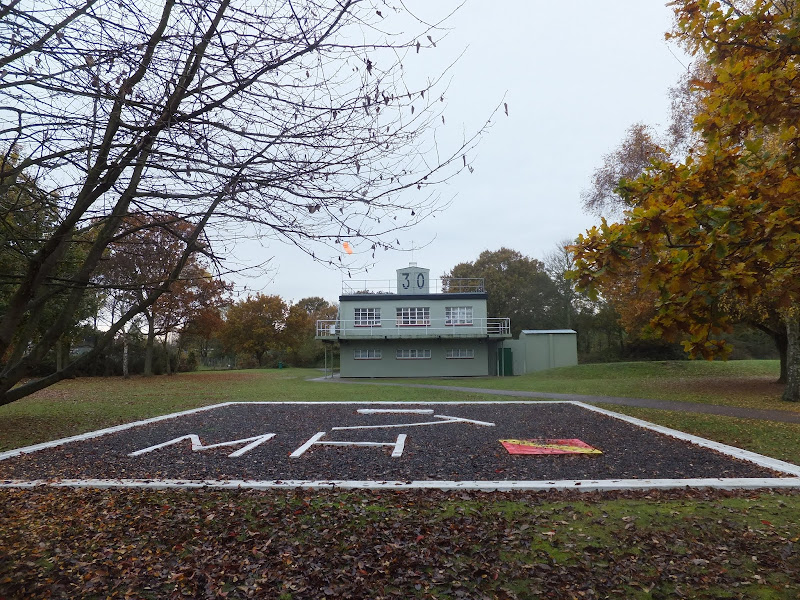
A 24 mile circular walk between Sizewell and Southwold along the Suffolk Coast Path and Sandlings Walk.

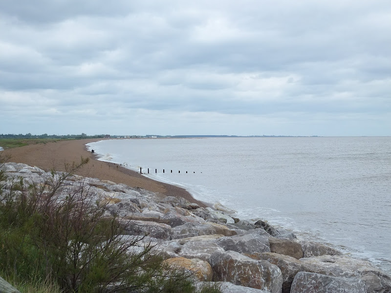
Back in the 17th Century, Southwold was England's main fleet anchorage. Sole Bay (Sawolde Bay) was a bay centred on Southwold with Easton Ness to the North and Dunwich to the South. In May 1672 this bay was the scene of a fierce sea battle when a fleet of 75 Dutch ships took an Anglo-French fleet by surprise. There were heavy losses on both sides in this, the first naval battle of the third Anglo Dutch War, but luckily for the English fleet the wind turned to their favour resulting in their success in the battle. Today coastal erosion has straightened the coastline of the former bay and all that remains of the battle are the stories and the cannons pointing out to sea on Gun Hill.

Tuesday 1 January 2019

Leiston to Walberswick Circular Walk

Sole Bay

A 22 mile circular walk between Leiston and Walberswick incorporating sections of the Suffolk Coast Path and Sandlings Walk.

This walk uses the beach at low tide to get from Sizewell to Walberswick, returning through Dunwich forest. Walberswick is said to be the most haunted place in Britain though one would not think it from its relaxed and laid back character, famous for its crabbing pastimes.

Leiston to Westwood Marsh

The old Westwood Marsh Pumping Mill

A walk encompassing the Westwood Marshes footpath into a circular route from Leiston

The Westwood Marshes footpath is little gem of a path that links the Newdelight Walks with the Suffolk Coast Path through the Westwood marshes. The route for this walk uses this path as the ultimate destination from Leiston but shorter alternatives to include this path are also detailed.

Saturday 29 December 2018

Deben Estuary - Melton to Bawdsey

View across the Deben estuary

A 15 mile river side walk along the Deben Estuary in Suffolk between the villages of Melton and Bawdsey

This walk follows river side footpaths with spectacular views across the estuary. Unfortunately at Ramsholt there is no public access and one needs to divert through to the village of Alderton with a road walk for the last few miles to Bawdsey. A ferry crossing an a short walk into Felixstowe provides public transport access back to Melton

Gipping Valley Way - Needham Market to Ipswich

near Pipps Ford

A 13 mile walk following Suffolk's River Gipping between Needham Market and Ipswich

A riverside walk tracing the route of the River Gipping as it heads through Suffolk to join the tidal waters of the Orwell at Ipswich. A gentle ambling route that twists and turns through the countryside which presents a perfect summers walk.

Thursday 20 December 2018

The Sandlings Walk - Martlesham to Rushmere Heath

Martlesham Heath Control Tower Museum

A 4.5 mile walk across heathland from Martlesham to Rushmere Heath on the eastern fringes of Ipswich

Like most modern towns, Ipswich is suffering from a seemingly endless amount of urban sprawl that envelops the traditional villages that once surrounded it. However, this walk follows heathland that is hidden behind the housing estates all the way from Martlesham through to Rushmere Heath and Ipswich Hospital

Monday 17 December 2018

The Sandlings Walk

The Sandlings Waymarker

An overview of the Sandlings Walk, a 55 mile long distance path through the forests and heaths of East Suffolk

The Sandlings is a 55 mile walk starting at Rushmere Heath on the eastern side of Ipswich with Southwold, passing through the remaining fragments of East Suffolks Sandling Heaths. The trail leads through Rendlesham, Tunstall and Dunwich forests and also includes riverside walks at Woodbridge and heathland walks across Rushmere Heath, Sutton Heath, Thorpeness Common and Dunwich Heath..

Saturday 15 December 2018

A Walk through the The Vale of Slaughden

Thames barge heading down river

An exhilarating 4 mile walk along the defence banks of Suffolk's River Alde estuary beginning and ending at Slaughden Quay

Once known as the Vale of Slaughden, the area below Aldeburgh presents a big open landscape across the marsh with the wide estuary waters of the River Alde as it meanders alongside the coast. Once upon a time Slaughden was a bustling fishing village but in present day it is all under the waves and a narrow spit of shingle is all that divides the North Sea from the gentle waters of the river.

Suffolk Coast Path - Snape to Felixstowe

Looking bck towards Shingle Street from Bawdsey

A 20 mile walk along the Suffolk Coast Path between Snape and Felixstowe

This is the most remote section of the Suffolk Coast Path and follows the Butley River down to Shingle Street and then continues along the coast to the ferry at Bawdsey. There is an eerie sense of foreboding when walking this section. The solitude. The windswept landscape. The distant silhouettes of the Orfordness Pagodas. The lonely river. One can walk virtually the entire distance without seeing a soul and the only company is the decaying remains of WWII defences and the looming martello towers from Napoleonic times.

The Sandlings Walk - Knodishall to Snape

A 13 mile circular walk along the Sandlings Walk between Knodishall and Snape

With limited public transport this walk offers a circular route to incorporate the Sandlings path from Knodishall to Snape. Starting and ending at nearby Leiston it incorporates The Sailors Path and the Suffolk Coast Path to make a worthwhile day walk. The route passes Friston mill and Hall and the burial grounds where a Saxon burial ship was discovered. With pubs at Friston and Snape it provides for a great days ramble.

Tuesday 27 November 2018

Ufford Heritage Trail

Smock Meadow floods

A 3 mile walk around the village of Ufford

Ufford is rich in heritage and well worth exploring. The Heritage Trail was created in 2006 and leads the walker around the historic features of the village including the village stocks, water meadows and the many listed buildings. The Highlight of the trail has to be the church which has the unusual dedication to St Mary of the Assumption and contains the second largest font cover in England which is a sight to behold.

Wednesday 21 November 2018

A Spooky Suffolk Walk to Potsford Gibbet

Potsford Gibbet

A 6.5 mile circular walk around Wickham Market in Suffolk to take in the spooky sights of Potsford Gibbet

Jonah Snell was reputedly the last man to be 'hung in chains' at Potsford Gibbet in 1699 as decreed by the cracked plaque that is affixed to the decaying post which is all that remains of the gibbet. His ghost is said to haunt the area and the hill up to the location of the Gibbet is still locally known as Dragarse Hill after he was dragged by his arse up the hill to the gibbet for his part in the grizzly murders carried out at Letheringham Mill.

The Fonnereau Way to Ipswich

Christchurch Park

A 12 mile walk between Woodbridge and Ipswich incorporating sections from the Fonnereau Way, the Sandlings and the Fynn Valley Way

This walk links the railway stations of Woodbridge, Westerfield and Ipswich with scenic views along the estuary at Woodbridge and the Fynn Valley before entering Ipswich from the west through the historic parkland known as Christchurch park which dates from the 12th century which includes many historic features and a mansion that is open to the public.

Fynn Valley Circular Walk

A 16 mile walk along the Suffolk Fynn Valley between Woodbridge and Witnesham, with a return route via Grundisburgh and Hasketon.

The Fynn Valley Walk is an official waymarked route following the course of the River Fynn from Witnesham to Martlesham then continuing through to Woodbridge along the banks of the River Deben. For this walk, the Fynn Valley route is walked in reverse then public footpaths are used across the fields to Grundisburgh and Hasketon and back down into Woodbridge to make a circular walk.

Cleveland Way - Whitby to Robin Hoods Bay

Black Nab

An 8 mile walk following the Cleveland Way between Whitby and Robin Hoods Bay

A fairly easy ramble across the cliffs from Whitby to Robin Hoods Bay with some spectacular views and scenery. It is worth taking some additional time to wander around Whitby before embarking on this walk. But beware of the Beguist, a legendary hellhound that is said to stalk the streets of Whitby.

Deben Valley Walk from Wickham Market to Woodbridge

An 8 mile walk along the Deben Valley in Suffolk from Wickham Market to Woodbridge

This walk follows the route of the East Suffolk Line Walks along the Deben Valley. An easy and simple walk with the highlight of the village of Ufford which boasts its very own microbrewery and ancient church. The walk ends with an amble along the popular riverside path between Melton and Woodbridge.

Walk Summaries

Latest walk summaries are basic information sheets for walks that have yet to be fully documented. These provide links to maps, public transport and walks stats, although detailed notes and features are not included.

Latest Walk Summaries

Featured Walk

In Search of Sizewell Chapel

A 10 mile walk following the southern side of the parish boundary of Leiston in Suffolk This walk follows the route of a 17th century peramb...

What is GPX

All you need to know about GPX, electronic mapping and how to use modern apps and mobile devices as navigation devices

Popular Walks

Maps