Route details, maps, pubs, features, local history and folklore for a wide variety of walks focusing primarily on Norfolk and Suffolk

Coast Walk Walks
Showing posts with label Coast Walk. Show all posts

Thursday 19 December 2019

South West Coast Path - Dartmouth to Torcross

Dartmouth

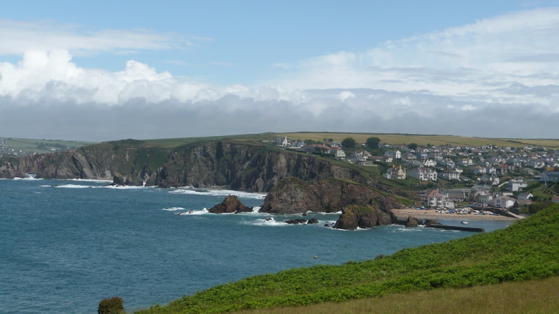
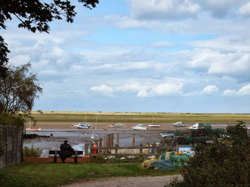
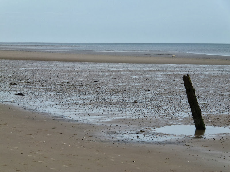
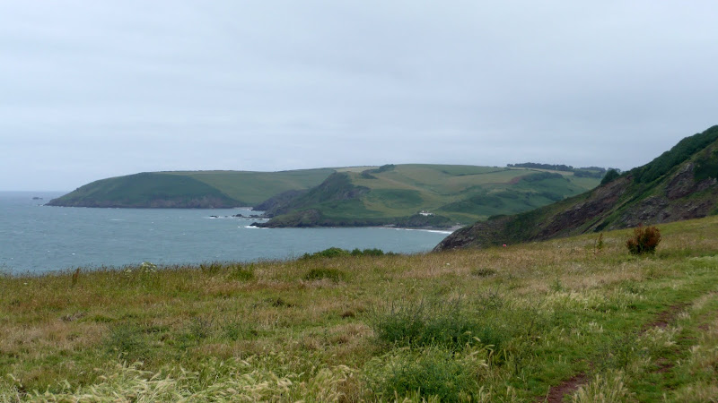
A 9 mile walk along the South West Coast Path between Dartmouth and Torcross.

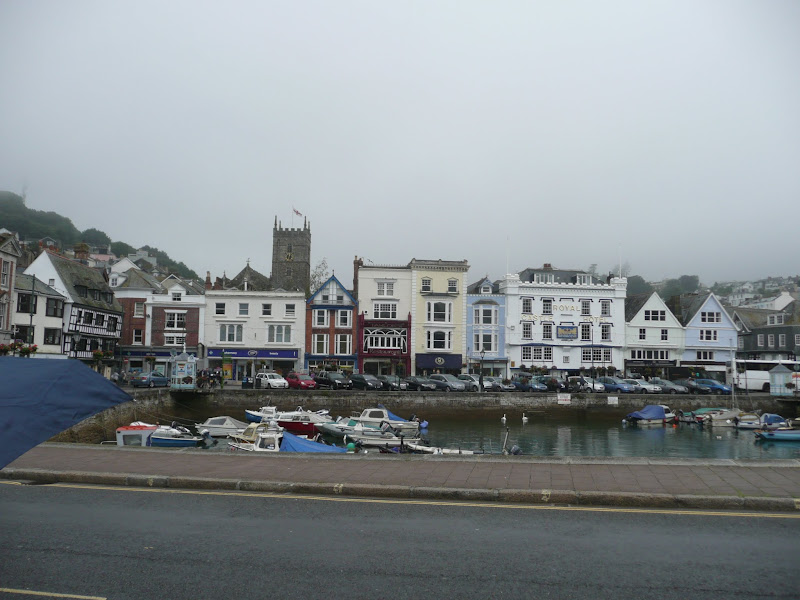
This section of the walk starts at the deep water port of Dartmouth which is famed for where the second and third crusades departed in the 12th century. Across the River Dart is Kingswear, and down the estuary is Dartmouth Castle, built in the 15th Century. Passing the castle, the path heads round the coast and up to the village of Stoke Fleming, then meanders across the hills and lanes either side of the main Dartmouth road until it meets Strete. Here it descends down to Slapton Sands, which despite its name, is a shingle beach on one side and Slapton Ley, a natural freshwater lagoon, on the other. A simple walk with a few hills to negotiate and a bus service that links the two ends of the walk.

Old Coast Path Route - Cromer to Sheringham

Beeston Bump

A 6 mile walk along the original route of the Norfolk Coast Path between Cromer and Sheringham

Up until December 2014 the official route of the Norfolk Coast Path from its start at Cromer Pier through to Sheringham navigated inland along the hills of the Cromer Ridge, the highest ground in Norfolk. This original route can still be walked and contrasts with the cliff-top route of the realigned path which is now part of the England Coast Path. With shady lanes and tracks through the woodland, spectacular views from the summit of Beacon Hill and the challenging ascent to the iconic Beeston Bump, this walk is a worthwhile excursion from the coastal route.

Wednesday 18 December 2019

Paston Way to Gunton - Pubs, Churches and Wartime Conspiracies

Northrepps from the lane to Overstrand

A 7 mile walk along Norfolk's Paston Way from Cromer to Gunton.

The Paston Way has a few alternative paths that stray from its main route between North Walsham and Cromer, and this walk takes the optional route out to Gunton from where a train can be taken back to Cromer. There are some worthy country pubs along this simple walk so a good old English pub crawl can also be had along with taking in the sights of the impressive churches at Northrepps and Southrepps plus local tales of wartime German conspiracies!

South West Coast Path - Coverack to The Lizard

View to The Lizard

An 11 mile walk along the South West Coast Path between Coverack and The Lizard

A challenging but rewarding walk along the south West Coast path. There are spectacular views along the coastline with The Lizard being in view virtually the entire distance. The picture postcard village of Cadgwith is a worthy resting point before embarking on the final few miles that include the rock formation known as The Devil's Frying Pan.

Norfolk Coast Path between Blakeney and Cley - Latest Developments

Repaired defence bank close to Blakeney

The future of the 2.5 mile walk along the sea defences between Blakeney and Cley

The December 2013 Storm Surge caused major damage to the sea defences along the Norfolk Coast Path that encompasses the Blakeney Freshes. Work is currently being carried out to repair the breaches, however the long term future of both the Freshes and the coast path at this point is uncertain.

South West Coast Path - Avon Estuary to Salcombe

Hope Coast

A 17 mile walk along the South West Coast Path between Churchstow and Salcombe.

This walk heads out from Churchstow through country lanes down to the South West Coast Path at Bantham on the Avon estuary. The Coast Path starts with easy walking along the low cliffs past Thurlestone and includes an 80 yard footbridge across South Milton Ley before it arrives at Hope Cove, a picturesque little fishing village. The section from Bolt Tail to Bolt Head is a little more strenuous with the path tracking up and down the cliffs and around a few craggy sections with steps built out of the stone. At Bolt Head the coast bears round to the north passing Sharp Tor which is cut out of the cliff-face, before it heads down into the pretty village of Salcombe.

Norfolk Coast Path - Burnham Overy Staithe to Brancaster

Brancaster Staithe Quay

A 6 mile walk following the North Norfolk Coast Path between Burnham Overy Staithe to Brancaster

Wide open areas of marshland provide an enticing setting for this easy walk. Sailing boats, marsh, a tidal pool and the site of a Roman fort provide plenty of interest, together with three pubs, what more could one ask for of an afternoons stroll.

Lincolnshire Coast Path - Cleethorpes to Mablethorpe

North Coates Marshes

A 23 mile walk along the Lincolnshire Coast between Cleethorpes and Mablethorpe

Although a Lincolnshire Coast Path has yet to be established, this walk sets out a viable route for all budding coast walkers. This follows defence banks and permissive paths with a little road walking where necessary.

Tuesday 17 December 2019

South West Coast Path - Bucks Cross to Hartland

Blockchurch rock

An 16 mile walk along the South West Coast Path between Bucks Cross and Hartland

An easy start to a walk through the tree covered cliff-tops makes a pleasant ramble through to Clovelly. There follows a couple of challenging valleys to cross and then broad open meadows for more easy walking through to Hartland Point. At this stage the coast turns South to reveal a coastline that can only be described as truly spectacular.

South West Coast Path - Bude to Boscastle

View from Buckator

An 16 mile walk along the South West Coast Path between Bude and Boscastle

A challenging walk along a spectacular part of the South West Coast Path. Although this can be achieved in a single day there is the village of Crackington haven near to the half way mark which allows one to cut the walk into two smaller options. Waterfalls to see, steep valleys to cross and some amazing views of the coastline.

South West Coast Path - Brixham to Paignton

Paignton Harbour

A 12 mile walk along the South West Coast Path between Brixham and Paignton.

There are a few moderately strenuous sections to this walk but nothing too arduous. The walk starts by heading out to Berry Head, the site of a an iron age fort, although most of this has been destroyed by late 18th century fortification for the Napoleonic Wars. The path then descends down into Brixham town where there are refreshment houses and shops set around the harbour. Brixham is much more of a heritage fishing town rather than its commercialized holiday resort neighbours of Paignton and Torquay. Out of Brixham, the path makes its way across the cliffs descending to Broad Sands and Goodrington Sands before reaching Paignton.

A Walk to Brancaster Beach

Brancaster Beach

A 3 mile walk out to Brancaster Beach returning across the marsh to Titchwell

Although not included in the official Norfolk Coast Path route, this simple walk is a well worth excursion to witness the expanse of sand and dune as well as a petrified forest and an old wreck. Always be mindful of tide conditions and particularly do not attempt to get across to the wreck which lies across the Harbour channel.

South West Coast Path - Brixham to Kingswear

Looking towards the Dart Estuary

A 10 mile walk along the South West Coast Path between Brixham and Kingswear.

This section is one of the most strenuous walks along the Exmouth to Plymouth section of the Coast Path but offers some spectacular views. There are craggy cliff-face paths as well as gentle wooded zig-zags before it finally meets the lanes that emerge by the railway station at Kingswear. A frequent bus service operates between Brixham and Kingswear to allow the walker to return to the start point.

Monday 16 December 2019

Walk Around the Wash - Boston to Fosdyke

Haven River

An 11 mile along the sea defence banks from Boston to Fosdyke

This walks follows the start of the Macmillan Way as the first stage of the walk around the Wash. The route follows the Haven river before heading down to Fosdyke bridge on the River Welland. The walk is typified with acres of flat marsh, water filled creeks, wide open skies and views for miles around.

South West Coast Path - Boscastle to Tintagel

Boscastle Harbour

An 5 mile walk along the South West Coast Path between Boscastle and Tintagel

A scenic walk that is not too much of a challenge to any seasoned walker. Rocky Valley presents a steep climb in and out but this really is a delight to behold and well worth the effort to get across it. The end of the walk is at Tintagel with all its Arthurian legend. Behold Camelot.

Saturday 7 December 2019

South West Coast Path - Perranporth to Newquay

Tidal bridge across The Gannel Estuary

An 11 mile walk along the South West Coast Path between Perranporth and Newquay

By South West Coast Path standards this is an easy walk along the low level cliffs with no particularly difficult climbs with the usual spectacular coastal views. The main obstacle on this section is crossing the River Gannel estuary. There are three footbridges but these are all dependant upon the state of the tide so tide tables need to be consulted and the walk planned appropriately.

South West Coast Path - Porthcothan to Padstow

Hawkers Cove

An 13.5 mile walk along the South West Coast Path between Porthcothan and Padstow

A moderate walk by South West Coastpath standards and even with a misty morning it is nonetheless spectacular. The walk includes Harlyn Bay and Mother Iveys Cottage, which is the source of a local legend of a cursed field. The end is at the bustling port of Padstow where there is plenty of opportunity for rewarding refreshments.

South West Coast Path - Port Isaac to Polzeath

Port Isaac Haven

An 9 mile walk along the South West Coast Path between Port Isaac and Polzeath

A stunning walk that is not too challenging. It starts at the picturesque village of Port Isaac before winding its way past Port Quin and around the Rumps headland and Pentire Point before descending to the surfing Mecca of Polzeath. The scenery takes ones breath away and every turn there is something new to see.

Thursday 28 November 2019

A Walk through the Woods on Kenton and Goose Hills

Goose Hill

An easy 7 mile circular walk through the woodland around Sizewell on the Suffolk Coast

Suffolk is not best known for its hills and Kenton Hill and Goose Hill probably would not be regarded as hills but for their name. However this wooded area offers an ever changing scenery throughout the year with the mixture of conifer and broad leafed trees, flora and fauna and a variety of wildlife. There is also a viewing platform overlooking the Minsmere marshes

Tuesday 9 July 2019

Wales Coast Path - Abergele to Prestatyn

view from Pansarn

An unashamed 10 mile British seaside walk along the North Wales coastline

An unashamed easy walk along the proms and seawalls of North Wales between Pensarn and Prestatyn. This walk is never far from civilisation and one can guarantee meeting numerous folk along the trail. Dog walkers, joggers, tourists and folk just enjoying the sea air. The route doubles up as a North Wales Cycleway (National Cycle Route 5) which is well used throughout.

Walk Summaries

Latest walk summaries are basic information sheets for walks that have yet to be fully documented. These provide links to maps, public transport and walks stats, although detailed notes and features are not included.

Latest Walk Summaries

Featured Walk

In Search of Sizewell Chapel

A 10 mile walk following the southern side of the parish boundary of Leiston in Suffolk This walk follows the route of a 17th century peramb...

What is GPX

All you need to know about GPX, electronic mapping and how to use modern apps and mobile devices as navigation devices

Popular Walks

Maps