Route details, maps, pubs, features, local history and folklore for a wide variety of walks focusing primarily on Norfolk and Suffolk

Features:Churches and abbeys Walks
Showing posts with label Features:Churches and abbeys. Show all posts

Saturday 12 January 2019

Down the Blyth Valley in Pursuit of Black Shuck

River Blyth near Halesworth

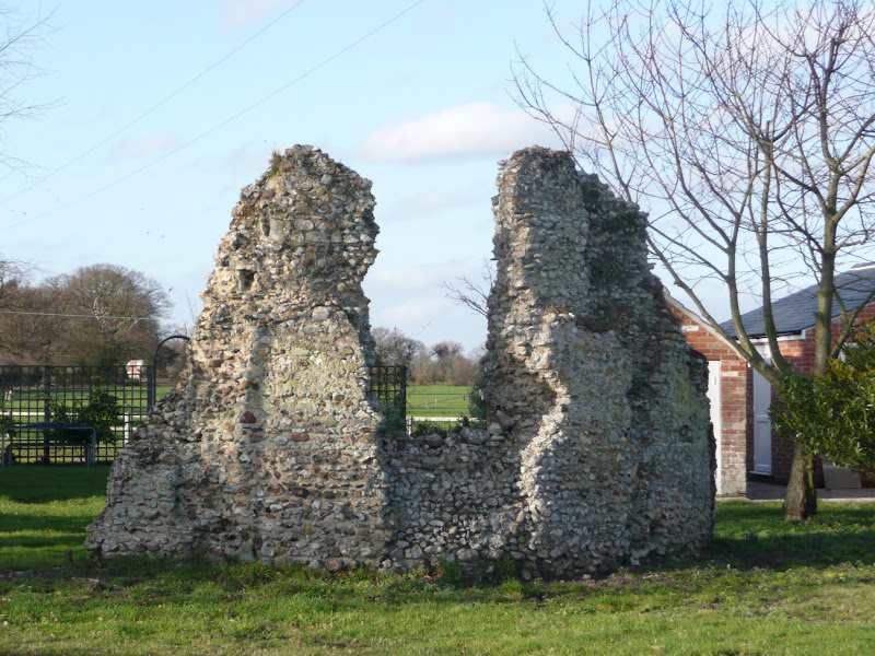
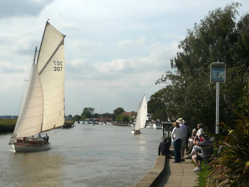
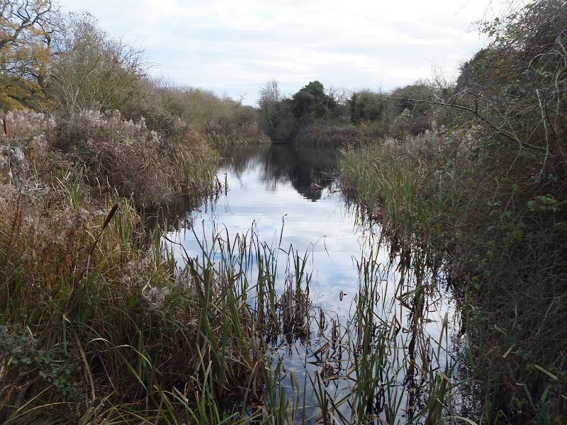
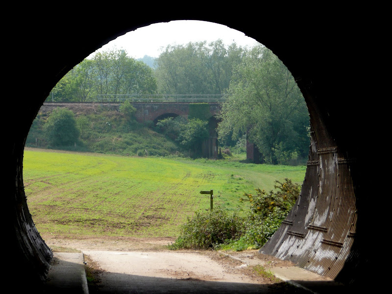
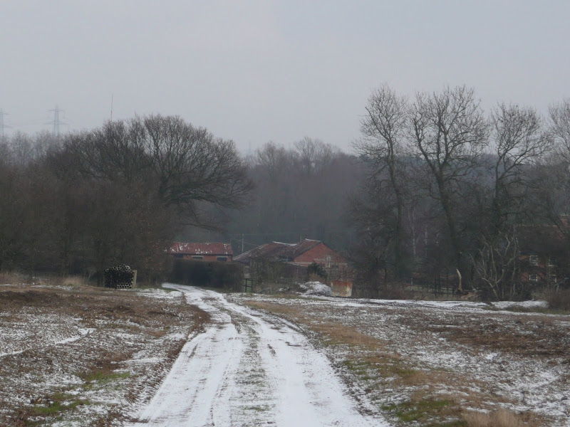
An 18 mile walk down the Blyth Valley in Suffolk from Halesworth to Blythburgh, then across the heaths and commons to Leiston.

It was the legendary hell hound that supposedly came this way in 1577 and terrified parishioners of Blythbrugh church after doing a similar job at Bungay. This walk is in two sections, the first section follows the River Blyth along the Waveney Way to Blythburgh with the option to continue on to Southwold. The Waveney Way is a Ramblers Association walk and does not have waymarkers along the route. An optional second section cuts across to Westleton and onto Leiston. Both Southwold and Leiston have public transport links to Halesworth making the walk achievable as a linear route without the requirement of assistance of a taxi.

Thursday 10 January 2019

South West Coast Path - Hayle to St Ives

View to Godrevy Point

An easy and delightful 6 mile walk along the South West Coast Path between Hayle and St Ives

This is one of the easier sections of the South West Coast Path that keeps within easy reach of civilisation and follows the St Ives branch line along this idyllic coastline. A few climbs but nothing too strenuous. Excellent views across the sandy beaches up to Godrevy Point. Perfect for a Sunday afternoon stroll.

South West Coast Path - Helford to Coverack

Porthoustock

An 11 mile walk along the South West Coast Path between Helford and Coverack

A fairly easy section of the Cornish section of the South West Coast Path but it still presents some spectacular and rewarding scenery. With rivers to cross and charming fishing villages nestled in hidden coves this makes a well worthwhile full days trail.

Friday 4 January 2019

A Walk Around the Churches of Knodishall and Friston

An 8.4 mile circular walk around the Suffolk villages of Knodishall and Friston

An easy ramble across the Suffolk countryside, with the highlight being the hidden ruins of St Peters Church in the old parish of Buxlow, now a part of Knodishall. There's some fascinating history on this walk along paths that are off the beaten track but nonetheless well maintained.

Sunday 30 December 2018

Wherrymans Way - Loddon to Reedham

reedhamquay

An 11 mile walk from Loddon to Reedham along the Wherrymans Way, returning along the same route.

There is no public transport linking Loddon and Reedham, and few other footpaths in the area which is predominately marshland around the river Yare. Therefore this walk requires one to return along the same route. This should not detract one from walking this as it is a very pleasant ramble along the Wherrymans Way with pubs at Reedham making a veritable half way refreshment stop.

Suffolk Coast Path - Lowestoft to Southwold Inland Route

Covehithe church

A 17 mile walk using the official inland route of the Suffolk Coast Path from Lowestoft to Southwold

Due to erosion and tides the Suffolk Coast Path takes an inland diversion for the section between Lowestoft and Southwold. Although the alternative beach route can be accessed providing the tides are right, this route nonetheless has its worth especially for the picturesque section around Frostenden.

Saturday 29 December 2018

Nar Valley Way - Narborough to Dereham

Newton Mill

A 22 mile walk along the Nar Valley Way from Narborough to Dereham

This route is full of historic features including ruins of priories and castles as well as magnificent halls and watermills. The walk provides a varied landscape with woodland trails, riverside paths and saunters across open fields of this pleasant Norfolk countryside. Although a lengthy section of the Nar Valley Way there is plenty of time to accomplish the feat with late buses linking the two ends.

Tas Valley Way - Cringleford to Tasburgh

Small lake at Carleton Carrs

A 12 mile walk along Norfolk's Tas Valley Way

Probably one of the least known long distance paths in Norfolk, the Tas Valley Way links Norwich and Attleborough following the River Tas. This first section navigates through to Mulbarton, then onto Flordon before going off route to Tasburgh where there is a pub and public transport back to Norwich.

Paston Way - North Walsham to Mundesley

Edingthorpe church

An 11 mile walk along Norfolk's Paston Way between North Walsham and Mundesley

The Paston Way is a veritable Trail around some of East Norfolk's medieval churches. This section includes the delights of North Walsham, Edingthorpe, Knapton, Paston and Bacton. Although all are impressive, it it the small church at Edingthorpe which must not be missed, a treasure to behold.

Friday 28 December 2018

South West Coast Path - Pendeen to St Ives

Portheras Cove

An alternative route to the official Coast Path using the Zennor Churchway otherwise known as the Coffin Path for a less challenging 13 mile walk between Pendeen and St Ives

This alternative route leads away from the coast path at Porthmeor to take the Zennor Churchway which follows an ancient track across a flat ridge of land that joins the cliff top to the hills. From Zennor the route is known as the Coffin Path on account of it being the route used to take coffins to Zennor church during the middle ages. This route provides an alternative for when bad weather sets in on the coast path when it can become hazardous or simply as a less strenuous and less time consuming route.

Monday 17 December 2018

Saxmundham, Kelsale and Carlton Circular Walk

Kelsale church from the other side of the railway

A 4 mile walk around Saxmundham, Kelsale and Carlton

Using footpaths an country lanes, this short walk provides some fine views, historic churches and even a ghostly tale of an apparition of phantom dancers. A worthy candidate for an afternoons exploration of this hidden corner of East Suffolk.

Sunday 16 December 2018

Alternative Coast Path Route from Sheringham to Cley

View from the hillside between Salthouse and Cley

A 10 mile alternative route for the North Norfolk Coast Path between Sheringham and Cley

This walk takes diversions from the official route of the North Norfolk Coast Path via the North Norfolk Railway and the Weybourne Priory Ruins. A further alternative is then used to navigate away from the strenuous shingle walk along the coast to a more gentle amble up to the village of Salthouse and across the hills to Cley. This provides a scenic and interesting alternative to the official route of the North Norfolk Coast Path and gives some spectacular views across the marshes from the hillside between Salthouse and Cley.

Saturday 15 December 2018

The Sandlings Walk - Knodishall to Snape

A 13 mile circular walk along the Sandlings Walk between Knodishall and Snape

With limited public transport this walk offers a circular route to incorporate the Sandlings path from Knodishall to Snape. Starting and ending at nearby Leiston it incorporates The Sailors Path and the Suffolk Coast Path to make a worthwhile day walk. The route passes Friston mill and Hall and the burial grounds where a Saxon burial ship was discovered. With pubs at Friston and Snape it provides for a great days ramble.

Friday 14 December 2018

Southwold to Covehithe Circular Walk

Beach at Easton Bavents

An 11 mile circular walk along the Suffolk Coast Path between Southwold and Covehithe

A walk along the beach route of the Suffolk Coast Path to the tiny hamlet of Covehithe with its impressive ruins of St Andrews church. Return is along the inland route of the Coast Path. This walk is dependant upon tides and consultation of tide times is vital in order to negotiate the beach route.

Friday 7 December 2018

The Icknield Way - Sundon to Baldock

A 20 mile walk along the Icknield Way between Sundon and Baldock

The modern route of the Icknield Way from Dunstable to Luton diverts from the traditional route which has to negotiate the urban sprawl. The modern route is now takes a more pleasant path through the Chiltern Hills, rejoining the priginal route to the north of Luton. In doing so villages and countryside are the order of the day all the way through to Letchworth and Baldock.

Wednesday 5 December 2018

The Wherrymans Way - Rockland to Loddon

Hardley Drainage Mill

A 15 mile walk along Norfolks Wherrymans Way

The only way one can see the sights of the River Yare is to either sail the river or walk the Wherrymans Way. Even in a boat one cannot get as good a view as the path along the heightened defence banks. This is stereotypical Norfolk in all its glory and although it is a lengthy section of walking, it is well worth the effort.

Tuesday 4 December 2018

Paston Way - Trimingham to Cromer

St Botolphs church, Trunch

A 13 mile walk along Norfolk's Paston Way from Trimingham to Cromer.

This is a customised walk linking sections of the Paston Way to provide a route passing the churches of Trimingham, Trunch, Bradfield and Southrepps as well as the local village pubs which are obligingly open all day on a Sunday. The final section from Northrepps offers an alternative wander past Sally Beans Cottage, renowned for being the lookout from the old Smuggling days of the 17th century, into Cromer.

Tuesday 27 November 2018

Ufford Heritage Trail

Smock Meadow floods

A 3 mile walk around the village of Ufford

Ufford is rich in heritage and well worth exploring. The Heritage Trail was created in 2006 and leads the walker around the historic features of the village including the village stocks, water meadows and the many listed buildings. The Highlight of the trail has to be the church which has the unusual dedication to St Mary of the Assumption and contains the second largest font cover in England which is a sight to behold.

Wednesday 21 November 2018

Fynn Valley Circular Walk

A 16 mile walk along the Suffolk Fynn Valley between Woodbridge and Witnesham, with a return route via Grundisburgh and Hasketon.

The Fynn Valley Walk is an official waymarked route following the course of the River Fynn from Witnesham to Martlesham then continuing through to Woodbridge along the banks of the River Deben. For this walk, the Fynn Valley route is walked in reverse then public footpaths are used across the fields to Grundisburgh and Hasketon and back down into Woodbridge to make a circular walk.

Deben Valley Walk from Wickham Market to Woodbridge

An 8 mile walk along the Deben Valley in Suffolk from Wickham Market to Woodbridge

This walk follows the route of the East Suffolk Line Walks along the Deben Valley. An easy and simple walk with the highlight of the village of Ufford which boasts its very own microbrewery and ancient church. The walk ends with an amble along the popular riverside path between Melton and Woodbridge.

Walk Summaries

Latest walk summaries are basic information sheets for walks that have yet to be fully documented. These provide links to maps, public transport and walks stats, although detailed notes and features are not included.

Latest Walk Summaries

Featured Walk

In Search of Sizewell Chapel

A 10 mile walk following the southern side of the parish boundary of Leiston in Suffolk This walk follows the route of a 17th century peramb...

What is GPX

All you need to know about GPX, electronic mapping and how to use modern apps and mobile devices as navigation devices

Popular Walks

Maps