Route details, maps, pubs, features, local history and folklore for a wide variety of walks focusing primarily on Norfolk and Suffolk

South West Coast Path Walks
Showing posts with label South West Coast Path. Show all posts

Saturday 29 December 2018

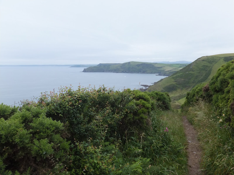
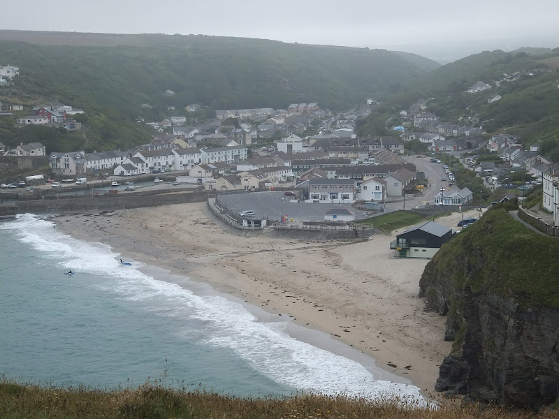
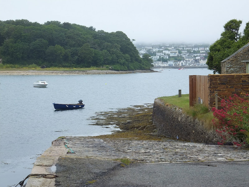
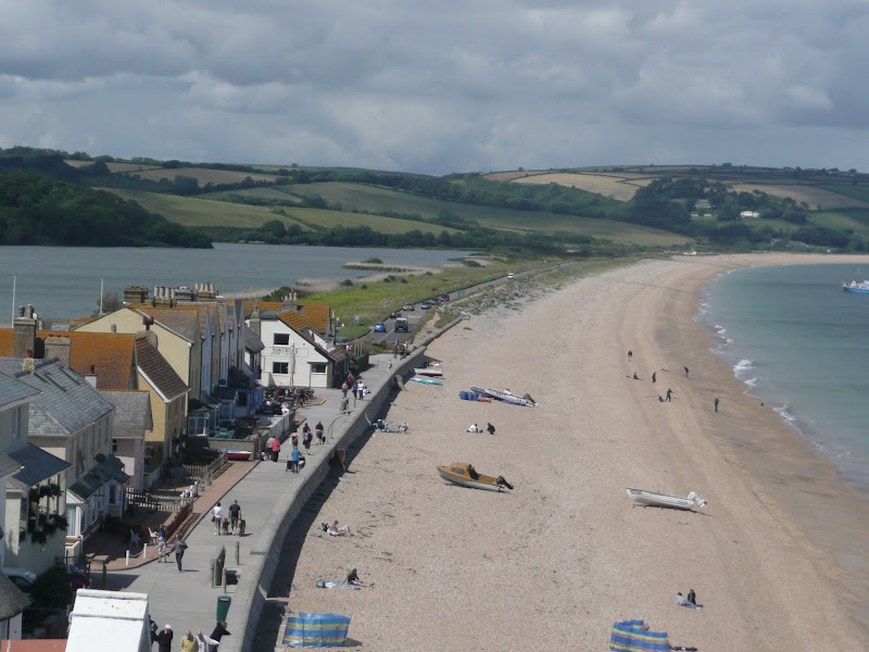
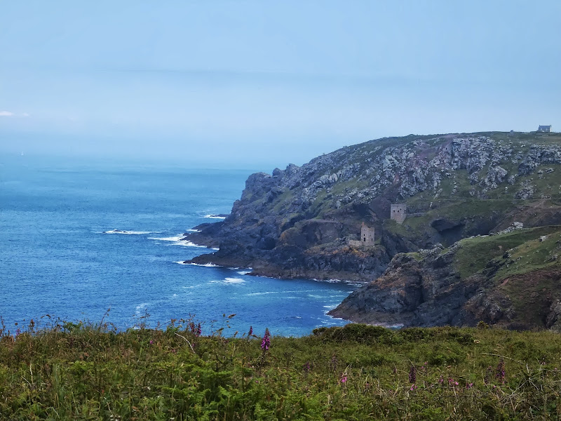
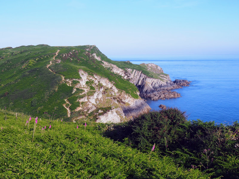
South West Coast Path - Newquay to Porthcothan

Porthcothan Bay

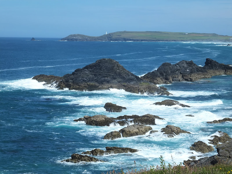
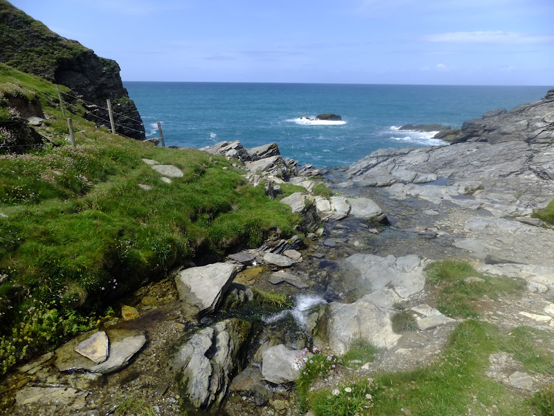
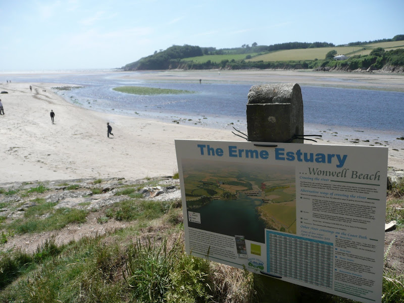
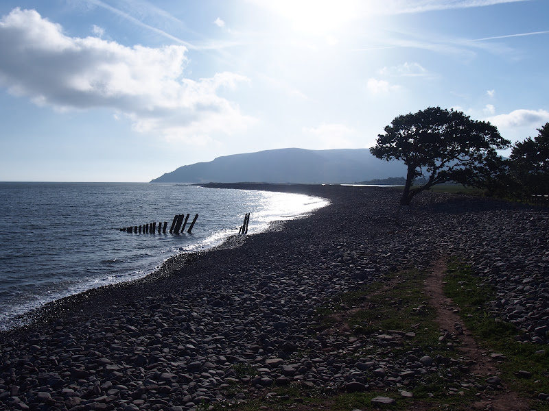
An 10.5 mile walk along the South West Coast Path between Newquay and Porthcothan

This section of the South West Coast Path provides typical picture postcard images of Cornwall in its full glory over a terrain that is not too demanding for the average walker. With stories of Mermaids and Giants there is plenty of folklore and history to read up about. An outstanding section without a doubt.

Friday 28 December 2018

South West Coastpath - Par to Looe

Path to Polperro

A challenging 20 mile walk along the South West Coast Path between Par and Looe.

Some describe this as the most scenic of the south coast section of the Cornish South West Coast Path. There are the charming villages of Polkerris, Fowey, Polruan and Polprerro and the cliff-top path offers fantastic views along the Cornish coastline. Although the going is fairly strenuous around East Coombe, on the whole the path does not offer too much of a challenge other than in the sheer distance. Shorter walks can be planned using the bus services that connect Polruan and Polperro to Looe.

South West Coast Path - Par to Mevagissey

Charlestown

A 10 mile alternative route for the South West Coast Path between Par and Mevagissey.

With the highlights of Charlestown and Mevagissey this walk holds a lot of expectation. When the weather turns against the avid walker and the conditions along the coast path become slippery and dangerous then this route provides an alternative. Always put safety first and during times of dense fog and or heavy rain always use a sense of caution when proceeding.

South West Coast Path - Pendeen to St Ives

Portheras Cove

An alternative route to the official Coast Path using the Zennor Churchway otherwise known as the Coffin Path for a less challenging 13 mile walk between Pendeen and St Ives

This alternative route leads away from the coast path at Porthmeor to take the Zennor Churchway which follows an ancient track across a flat ridge of land that joins the cliff top to the hills. From Zennor the route is known as the Coffin Path on account of it being the route used to take coffins to Zennor church during the middle ages. This route provides an alternative for when bad weather sets in on the coast path when it can become hazardous or simply as a less strenuous and less time consuming route.

Thursday 27 December 2018

South West Coast Path - Plymouth to Yealm Estuary

Wembury

A walk along the South West Coast Path between Plymouth and the Yealm estuary with an extension along the Erme Plym Trail to get around the River Yealm estuary

Plymouth is not a place to find a country walk, in fact the South West coast Path leads you around some of the more industrial areas of the docks and along the busy road across Laira Bridge. From this point there is a more pleasant alternative route using the West Devon Path which traces the trackbed of a former railway to Hooe Lake. An easy walk around Clovelly Bay and Mount Batten Point finally brings the path onto the cliffs along the coast. The going through to Wembury is not too strenuous and it is worth taking time out at Heybrooke Bay to search out the Eddystone Inn from where you can see the lighthouse of the same name on the horizon. From Wembury the Erme Plym Trail leads back to the main road in order to get around the Avon Estuary.

Sunday 23 December 2018

South West Coast Path - Porthleven to The Lizard

The Lizard

An 15 mile walk along the Cornish section of the South West Coast Path between Porthleven and The Lizard

A walk to Britain's most southerly point, The Lizard. There are a few challenging climbs along the route although the path is predominantly across grassy cliff-tops with some fantastic views along the coast. This walk crosses the renowned Loe Bar in front of Loe Pool which is said to have been where King Arthur's sword Excalibur was thrown upon his death.

South West Coast Path - Portreath to Hayle

Portreath

A 12 mile walk along the North Cornish section of the South West Coast Path between Portreath to Hayle

Although there are a couple of climbs at the Portreath end of this walk, this is predominantly an easy clifftop path along with dune or beach walking across the sands between Godrevy Point and Hayle.

South West Coast Path - Portreath to Perranporth

Towanroath Pumping Engine House

A 12 mile walk along the South West Coast Path between Portreath and Perranporth

A landscape scarred with the remains of centuries of mining is what typifies this section of the South West Coast Path. The remains of old engine houses, foreboding chimneys and numerous bat friendly shaft covers are encountered along the cliff top path. There is also the legend of the Giant Bolster in these parts, a giant said to be so tall that he could stand with his feet straddled across two local peaks six miles apart.

Friday 21 December 2018

South West Coast Path - Roseland Peninsular Circular Walk

Place ferry

A 9 mile circular walk around Cornwall's Roseland Peninsular taking in St Anthony's Head and Portscatho.

A simple and not too strenuous walk around the tip of the Roseland Peninsular. This encompasses the section of the South West Coast Path between Portscatho and the ferry point at Place that provides a service across to Falmouth. St Anthony's Head lighthouse with its adjacent Military Battery and the village of Portscatho are the highlights of this simple circular walk.

Thursday 20 December 2018

South West Coast Path - Salcombe to Torcross

Torcross

A 12.5 mile walk along the South West Coast Path between Salcombe and Torcross

This walk begins with taking the ferry across the estuary from Salcombe to Portlemouth. The going at times is strenuous, navigating along the craggy cliff face through to Prawle Point, the most southerly point in Devon. Beyond there are some low lying pastures that is a real pleasure to wander through. The final stage negotiates the craggy cliff around Start Point before slowly descending the cliffs along Start Bay, passing the hamlets of Hallsands and Beesands and finally arriving at Torcross beach.

Sunday 16 December 2018

South West Coast Path - Sennen Cove to Pendeen

Cliff mines at Botallack

A rewarding 9 mile walk along the South West Coast Path between Sennen Cove and Pendeen

This is a spectacular section of the South West Coast Path following the rugged cliffs on the western edge of Cornwall. There are a few challenges with the craggy terrain through to Cape Cornwall but the scenery is well worth the effort. The last stage is littered with the remnants of old mine workings that nestle into the cliff sides. These crumbling deserted edifices to old industry now sit aesthetically with their surroundings and at one with nature.

Wednesday 12 December 2018

South West Coast Path - Starcross to Paignton

Dawlish Sea Wall Railway

A lengthy section along the South West Coast Path taking in the the English Riviera between Starcross and Paignton

From the Exe estuary where the ferry links Exmouth and Starcross, the South West Coast Path heads southwards through the English Riviera Towns of Dawlish, Teignmouth, Torquay and Paignton. This section is a mixture of level walking through towns interspersed with hill walking through Maidencombe, Watcombe and Babbacombe and out to Hope's Nose. There are excellent transport links throughout including the iconic railway that runs along the sea wall from Teignmouth up to Starcross and is as inspiring as the walk itself.

Wednesday 5 December 2018

South West Coast Path - Tintagel to Port Isaac

Jacket's Point

An 9 mile walk along the South West Coast Path between Tintagel and Port Isaac

Very much a demanding and challenging walk that is not for the casual walker. Despite the strenuous terrain, the scenery is magnificent and there is a true sense of achievement by the end of the hike that makes the pint of ale at the Port Gaverne Hotel even more rewarding. Oh, and beware of the ghosts of Backways Cove.

Tuesday 20 November 2018

South West Coast Path - Yealm Estuary to Avon Estuary

Erme Estuary

A 19.5 mile walk along the South West Coast Path between the Yealm and Estuaries, using additional footpaths to access transport to link each end of the walk.

There are ferries across both the Avon and the Yealm estuaries but this route takes a trail that enables navigation around them using footpaths and lanes. Even so, there is still the Erme estuary to negotiate midway along the coast. There is no ferry here but it can be waded across one hour either side of low tide. This is quite an experience but requires planning with reference to the tide times published for Devonport. There are few other features apart from the stunning scenery along this section of the coast walk until it gets to Bigbury on Sea where Burgh Island sits just off the coast and hosts the renowned Pilchard Inn. The island can be reached on foot at low tide and at other times the inn makes use of a sea tractor to drive visitors across.

Thursday 19 July 2018

Porlock Weir to Minehead Walk Summary

Salt marsh

A 9 mile walk along the SWCP between Porlock Weir and Minehead

Walking in an anti-clockwise direction, this walk marks the end to the South West Coast Path. There are no gold embossed certificates handed out, no congratulating parades to cheer the triumphant walker across the finishing line, or national media around to film the completion of this mammoth 630 mile trek. Just a sculpture of a pair of hands holding an OS map and a self-satisfying sense of achievement with a hint of sadness that the trail is over and another challenge must be sought... or maybe turn around and do it all again in the opposite direction!

Wednesday 18 July 2018

Porlock Weir to County Gate Walk Summary

Salt marsh

A simple 6 mile walk from Porlock Weir to County Gate Car Park

The walk navigates along the higher SWCP route through to Wheatham Combe from where the County Gate car park can be reached along bridleways. This route has the advantage of some fantastic views over the coast as opposed to the lower route through the wooded lower reaches of the cliffs. This walk does need the assistance of a friend or acquaintance to provide a return journey between the two ends of the walk, alternatively the walk can use the lower SWCP to make a circular route.

Tuesday 17 July 2018

County Gate to Lynmouth Circular Walk Summary

Salt marsh

Circular walk linking the County Gate car park and Lynmouth

There is no public transport between Porlock and Lynmouth, therefore a days linear walk is not possible if one requires to return to the start. This walk uses a mid-point of the County Gate car park, located on Exmoor, to provide a circular route using the SWCP and Coleridge Way. The SWCP section is not too strenuous and provides some amazing coastal views whilst the Coleridge Way makes a very pleasant ramble alongside the East Lyn River to return to the County Gate

Tuesday 10 July 2018

Combe Martin to Lynmouth Walk Summary

Salt marsh

Strenuous walk from Combe Martin to Lynmouth passing over the highest point on the SWCP

A strenuous walk between Combe Martin and Lynmouth passing over Great Hangman which at 319m is the highest point on the SWCP. This specific route provides an alternative to the official SWCP path out of the Heddon Valley which does reduce the distance slightly. This does give an advantage if one needs to return to the start using public transport as there is only a limited bus survice back to Combe Martin which involves having to travel via Barnstaple.

Friday 6 July 2018

Hele Bay to Combe Martin Walk Summary

Salt marsh

Short Walk along the SWCP between Hele Bay near Ilfracombe and Combe Martin

This walk offers a few challenges but nothing untoward and is probably one of the best routes to introduce anyone to the SWCP. The views are outstanding and the numerous coves and small beaches tempting to spend a little more time in exploring. A very popular area with frequent transport links and plenty of refreshment options along the route.

Thursday 5 July 2018

Hele Bay to Braunton Walk Summary

Salt marsh

Extensive Walk along the SWCP between Hele Bay near Ilfracombe and Braunton

This route provides an alternative to the official SWCP whereby it short cuts the headland at Baggy Point and goes directly into Braunton omitting the section around Braunton Burrows. This achieves a sub 20 mile walk with bus access between Braunton and Ilfracombe. The cliffpath from Hele Bay to Woolacombe provides spectacular views and challenging walking whilst the sands of Woolacombe and Croyde make an easier terrain to navigate across.

Walk Summaries

Latest walk summaries are basic information sheets for walks that have yet to be fully documented. These provide links to maps, public transport and walks stats, although detailed notes and features are not included.

Latest Walk Summaries

Featured Walk

In Search of Sizewell Chapel

A 10 mile walk following the southern side of the parish boundary of Leiston in Suffolk This walk follows the route of a 17th century peramb...

What is GPX

All you need to know about GPX, electronic mapping and how to use modern apps and mobile devices as navigation devices

Popular Walks

Maps