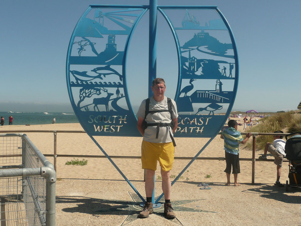
South West Coast Path - Swanage to South Haven Point
|
Monday 26 April 2021
|
No comments |
![]()
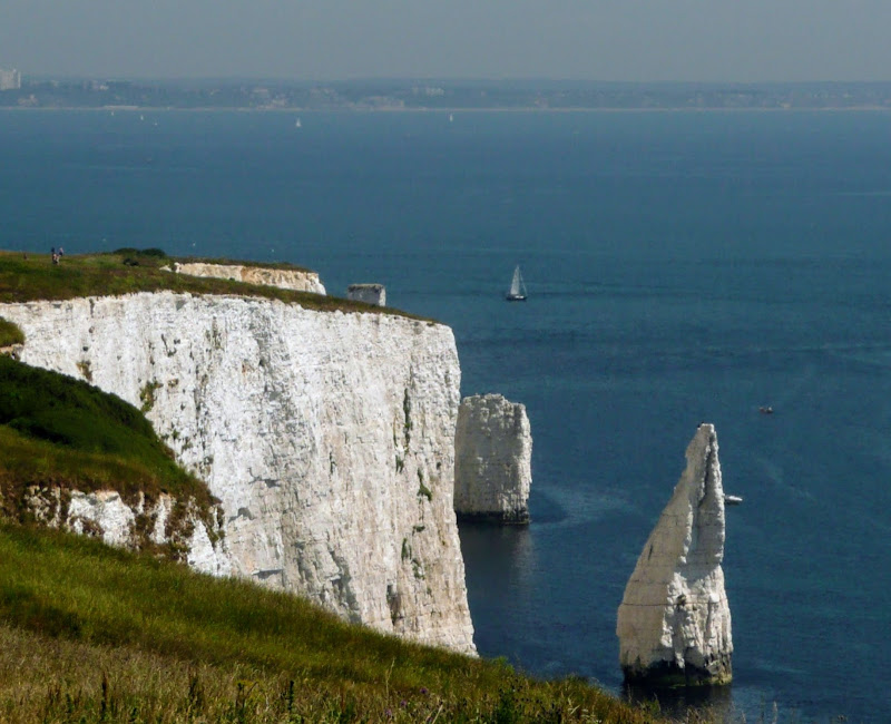
An moderately easy walk to the end of the South West Coast Path at South Haven Point
Old Harry Rocks is the highlight of this walk, and the ascent to Handfast Point, off of which the rocks are located, is the only real effort that has to be expended during the duration of this walk.The rest of the walk is easy all the way through to the end of the South West Coast Path at South Haven Point.