Bittern Line Walk - Worstead to Wroxham
|
Monday 28 February 2022
|
No comments |
![]()
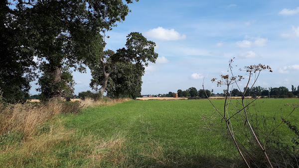
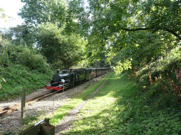
Worstead to Wroxham
A walk linking the Bittern Line stations of Worstead and Wroxham
|
Monday 28 February 2022
|
No comments |
![]()
A walk linking the Bittern Line stations of Worstead and Wroxham
|
Sunday 24 January 2021
|
No comments |
![]()
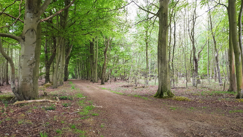
An 11 mile walk linking the Bittern Line stations of North Walsham and Wroxham
A rewarding days walk through the Norfolk countryside that links the railway stations of North Walsham and Wroxham. The route passes across an historic battleground, through woodland, encountering picturesque hamlets and village churches along the way. The end section uses the Bure Valley Railway path that follows the narrow gauge steam railway past Coltishall and down to Wroxham station.
|
Sunday 5 January 2020
|
No comments |
![]()
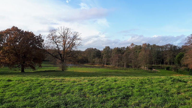
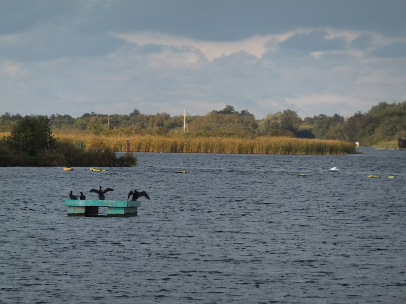
A 10 mile linear walk between Wroxham and Norwich
Walk linking the Bittern Railway Line stations of Wroxham and Norwich. The route cuts across to Spixworth using tracks and country lanes from where there is pedestrian access through to the centre of Norwich. Spixworth has an interesting history of folklore which is discussed in the features of this walk.
|
Wednesday 18 December 2019
|
No comments |
![]()
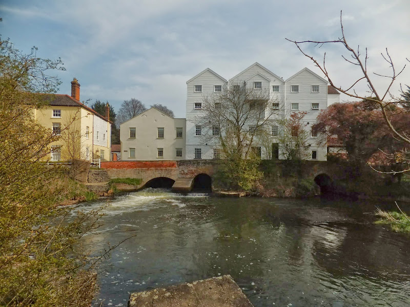
An easy and captivating walk along Norfolks River Bure
Not only does this walk provide some classic Norfolk scenery and historic features but it also traces the route said to be taken by the phantom carriage of Sir Thomas Boleyn in his annual act of penance for betraying his daughter Anne when she was sentenced to be executed. The walk is then made into a circular route by returning via the Bure Valley Path alongside the narrow gauge Bure Valley railway.
|
Tuesday 17 December 2019
|
No comments |
![]()
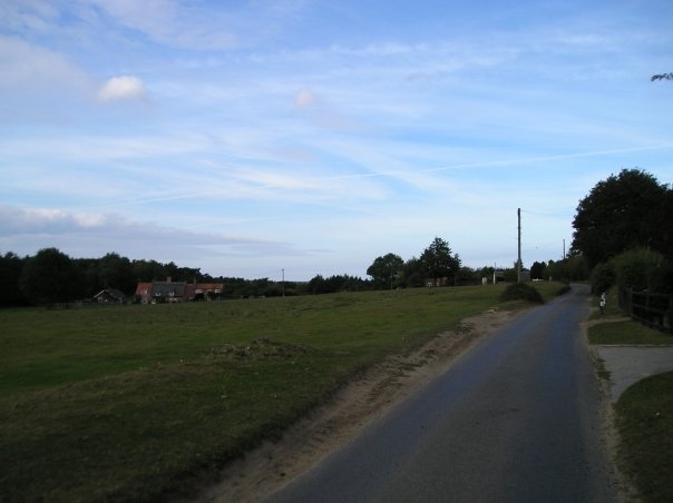
A 9 mile walk along Norfolk's Bure Valley Path between Aylsham and Wroxham
The Bure Valley Path follows the former Great Eastern Railway trackbed alongside the Bure Valley Narrow Gauge Railway. There are outstanding views of the river Bure and stops on route at Brampton, Buxton and Coltishall. Being a former trackbed gives a well drained path so the route is suitable for all weathers.
|
Wednesday 27 November 2019
|
No comments |
![]()

The Marriott's Way links Aylsham and Norwich following the former trackbed of the Midland and Great Northern Railway.
The Marriott's Way is a footpath, bridleway and cycle route, which follows the routes of two disused railway lines, and runs between the historic market town of Aylsham and the medieval city of Norwich. Along with the mileage markers which are created from old rails complete with a metal rubbing plaque, there are numerous concrete sculptures, village markers, interactive sound boxes and benches which all provide added interest and information along the route.
|
Saturday 29 December 2018
|
2 comments |
![]()
An easy 6 mile walk following the River Ant down to the Bure at Horning.
The Norfolk Broads are full of ghostly stories and this walk brings a few to life. From the spooky lights of Hoards Hole, encounters with Black Shuck and the curious transformation of Horning's riverside houses to Saxon days when it was just a grassy bank, there is plenty to reflect upon as one wanders the footpaths and quiet country lanes that make up this route. And maybe, who may tell, given the right conditions, you may even glimpse a spectral view from another dimension.
|
|
No comments |
![]()
A 23 mile walk along the Weavers Way from North Walsham to Cromer
Starting along the old M&GN railway trackbed to Aylsham, the path soon heads off across country passing by the Halls at Blickling, Felbrigg and Cromer as well winding its way through the picturesque villages of Aldborough, Hanworth and Sustead. A fascinating view of Norfolk's countryside.
A 10 mile walk following the southern side of the parish boundary of Leiston in Suffolk This walk follows the route of a 17th century peramb...


