Route details, maps, pubs, features, local history and folklore for a wide variety of walks focusing primarily on Norfolk and Suffolk

Norfolk Walks
Showing posts with label Norfolk. Show all posts

Thursday 4 April 2019

The Poppy Line - Holt to Sheringham

Steam engine heading to Weybourne

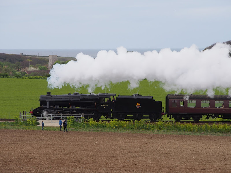
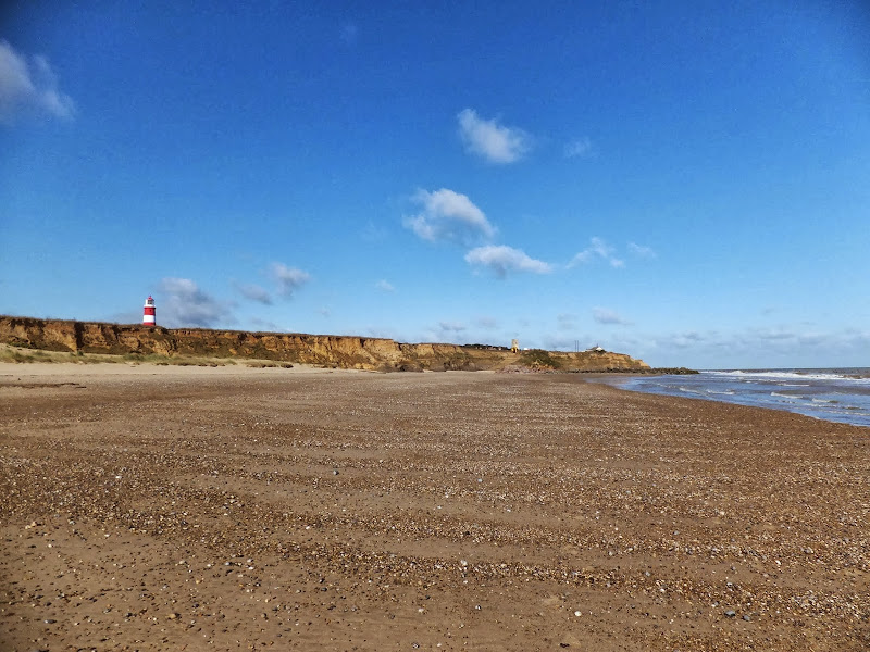
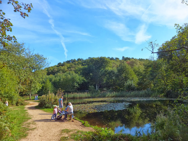
A 6.5 mile walk following the Poppy Heritage Steam Railway Line between Holt and Sheringham

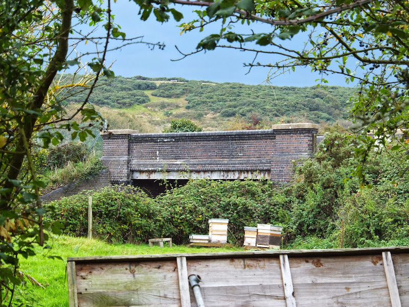
An easy ramble roughly following the Poppy Line from Holt to Sheringham. The varied landscape that this route navigated is heathland, woodland and coast with the ever present steam railway always in range either audibly or physically. A great way to see the engines in full steam with a return being hauled back on this iconic railway. The best place to watch the engines close up is the level crossing on Kelling Heath where the steam engines require a full head of steam to get their loads up the incline from Weybourne.

Thursday 21 March 2019

Bittern Line Walk - Cromer to North Walsham

Antingham Pounds

A 11.5 mile walk following the Bittern Line between Cromer and North Walsham

The Bittern Line provides the rail gateway to North East Norfolk from Norwich. Although there are no officially documented walks that link its stations, this walk seeks to rectify this and links Cromer and North Walsham using country lanes, footpaths and tracks. Stunning countryside, typical Norfolk villages and always something new to discover.

Friday 1 February 2019

Weavers Way - Potter Heigham to Great Yarmouth

A wherry heads down the river Thurne

A 20 mile walk through the Norfolk Broads following the rivers Thurne and Bure from Potter Heigham to Great Yarmouth

A walk that follows the rivers Thurne and Bure down to the town on Acle. There is then some challenging navigation across Halvergate marshes to end up walking along the banks of Breydon Water into great Yarmouth. This really is the epitome of what everyone imagines of the Norfolk Broads. Broad open skies and large open flat landscapes.

Saturday 26 January 2019

Norfolk Coast Path - Cley to Wells-next-the-Sea

Marshes near Blakeney

A 10 mile walk following the Norfolk Coast Path between Cley and Wells-next-the-Sea

An easy walk along the Norfolk Coast Path navigating out across the marshes to Blakeney then along the marsh perimeter to Wells. Blakeney is a worthy stopping point to explore Mariners Hill and the Guildhall and take in the legends of the Blakeney tunnels and the tragic story of the Blakeney Fiddler who is depicted on the village sign.

Thursday 24 January 2019

Angles Way - Earsham to Beccles

Waveney Valley from Mettingham

A 12 mile walk along the Angles Way between Earsham and Beccles

The walk starts by heading up the hills that overlook Outney Common. This is a really rewarding start to an easy ramble that continues across the Waveney Valley to Mettingham before continuing down the Waveney Valley. Although Geldeston is on the opposite side of the river to The Angles Way the excursion across the Shipmeadow marshes is well worth the effort to visit the unique Geldeston Locks Inn.

Folklore Trail around East Runton

Railway bridge at the end of Thains Lane with Inclborough Hill in the background

A 4 mile walk between East Runton and Cromer searching out old folklore

Using country lanes and tracks, this circular trail navigates around a East Runton to visit the various locations in Runtons history and folklore. Woodhill House is the location of an unidentified skeleton found during road widening. Thains Lane has the village's old smithy. The old Windmill sets the scene for the emanation of ghostly lights that crossed over to a copse. With a pub stop at Cromer and return via the redefined course of the Norfolk Coast Path, this makes for an excellent short walk on a spooky Autumn evening.

Thursday 17 January 2019

The Icknield Way - Herringswell to Knetishall Heath

A 25 mile walk along the Icknield Way between Herringswell and Knetishall Heath

This section of the Icknield Way reveals just how remote some areas of Suffolk can be. Apart from a couple of isolated hamlets there is nothing but forest trails and fields for the full 25 miles through to Knettishall Heath. This is perfect for those who like the solitude but one does need to make sure ample food and water supplies are taken for this lengthy hike.

Friday 11 January 2019

Seals, sea and sand at Horsey Gap

Seals

A 15 mile circular walk along the Norfolk Coast between Happisburgh and Horsey Gap to witness the Seals

This section of Norfolk's east coast is dependant upon time and tide so one needs to plan it well. At low tide there are vast sandy stretches all the way through to Horsey with such delights as witnessing seals sunning themselves on the beach, a sight one cannot fail to be impressed with. Whole colonies lay on the beach and each and every one of them appears to have a photogenic aptitude. With the advent of the England Coast Path, there is a route all the way back through the dunes or on the landward side of them.

A visit to the rather curious Happisburgh

Happisburgh lighthouse

A simple 3 mile circular walk along the Norfolk Coast between Happisburgh and Eccles

Happisburgh is curious - it is slowly being taken by the sea, its houses slowly falling victim to the tides. The pub gardens boast a signal box to a railway line that never got built. A lighthouse stands guard to the south and its lifeboat is located at the next village of Eccles. In recent times the tide has uncovered prehistoric human footprints. And there is local folklore of ghostly smugglers and misdeeds. Very curious indeed.

Thursday 10 January 2019

Happisburgh to Winterton Beach Walk

Happisburgh from Eccles

An 11 mile beach walk between along the Norfolk coast from Happisburgh to Winterton

Providing the tide is right, this is a fantastic beach walk with miles of golden sand and, if you are lucky, the sight of seals basking in the sunshine. Probably one of the best beach walks on this coastline.

Holkham to Wells Circular Walk

A 9 mile circular walk along the North Norfolk Coast between Holkham and Wells-next-the-sea

An alternative to the North Norfolk Coast Path, which follows the landward side of the large belt of pine trees known as Holkham Pines, is to walk along the glorious sandy Holkham beach. This was such a well worth experience with acres upon acres of sandy beach and dunes. With clear blue skies and a little sunshine this makes for a superb walk at any time of the year. The Albatros, a sailing ship that is permanently moored at Wells Quay provides some fine and simple lunches including fresh mussels which provide a fitting half way point to this walk. The return uses the tracks around the Holkham estate taking in views of the hall, the lake and obelisk.

Wednesday 9 January 2019

Holt to Mannngton Circular Walk

An 18 mile circular walk using footpaths and bridleways through the attractive Norfolk countryside between Holt Country Park and the Mannington Estate.

This trail takes in woodland, open countryside, lanes and even a stream which one has to jump across to provide a variety of landscape. The majority of the route is clearly waymarked although the start in Holt country park lacks initial direction as does the section around the Mannington Estate. The only disappointment was the lack of pubs, the Hare and Hounds at Baconsthorpe having last closed its doors in 2010.

Salthouse Sculpture Trail

Pond at Kelling Heath

A 14 mile walk around the Salthouse Sculpture Trail

Inaugurated in 2008 by The North Norfolk Exhibition Projects, this trail across Kelling and Salthouse heaths was set out to exhibit both the natural beauty of North Norfolk alongside examples of contemporary Norfolk art. Although most of the sculptures have now gone, the walk nonetheless provides a peaceful route around this part of the county.

Tuesday 8 January 2019

The Iceni Way - Kings Lynn to Hunstanton

Castle Rising

A 20 mile walk along the Kings Lynn to Hunstanton section of the Iceni Way

There is no official footpath or right of way to walk the complete distance along the coast between Kings Lynn and Hunstanton. It can be done by navigating the defence banks and farm tracks and ignoring the odd 'No Access' sign. However, an alternative walk to link these two towns is to use the Iceni Way. This is a walk designated by the Ramblers using existing tracks and footpaths linking the interesting and scenic villages of Castle Rising, Sandringham and Dersingham before it navigates back to the shores of the Wash at Snettisham. With vast expanses of sand when the tide is out, this part of the coast is truly an awe-inspiring sight looking across towards Boston and Skegness. You can walk out for miles before the sea is reached.

The Angles Way - Knettishall Heath to Diss

Royden Church viewed from across the Waveney Valley with its interesting octagonal upper tower that sits on a round base

A 15 mile walk from the Breckland end of the Angles Way to Diss

This is a picturesque ramble through the numerous fens that follow the course of the Little Ouse and The Waveney Rivers. Thelnetham Fen, Hinderclay Fen, and Redgrave and Lopham Fen are all managed wetlands with well kept paths and a variety of flora, fauna and wildlife. The path also passes through Wortham Ling, an area of managed common land that dates from medieval times. Even though the start of the walk at Knettishall Heath is difficult to get to using public transport, the walk is well worth the effort.

Sunday 30 December 2018

Wherrymans Way - Loddon to Reedham

reedhamquay

An 11 mile walk from Loddon to Reedham along the Wherrymans Way, returning along the same route.

There is no public transport linking Loddon and Reedham, and few other footpaths in the area which is predominately marshland around the river Yare. Therefore this walk requires one to return along the same route. This should not detract one from walking this as it is a very pleasant ramble along the Wherrymans Way with pubs at Reedham making a veritable half way refreshment stop.

Saturday 29 December 2018

Mundesley to Happisburgh Circular Walk

Coastline from Mundesley to Happisburgh

A 13 mile walk between the Norfolk coastal villages of Mundesley and Happisburgh

This walk comprises of a circular route taking in both the beach and the cliff-top paths between the two Norfolk coastal villages of Mundesley and Happisburgh. The centre of this walk is at Walcott where the cliffs recede and access to the beach is obtainable. This enables the walker to customise this route according to tidal conditions as both Happisburgh and Bacton beaches can be cut off by high tides.

Nar Valley Way - Narborough to Dereham

Newton Mill

A 22 mile walk along the Nar Valley Way from Narborough to Dereham

This route is full of historic features including ruins of priories and castles as well as magnificent halls and watermills. The walk provides a varied landscape with woodland trails, riverside paths and saunters across open fields of this pleasant Norfolk countryside. Although a lengthy section of the Nar Valley Way there is plenty of time to accomplish the feat with late buses linking the two ends.

A Norfolk Broads Walk from Neatishead to Horning

Cormorants on Barton Broad

An easy 6 mile walk following the River Ant down to the Bure at Horning.

The Norfolk Broads are full of ghostly stories and this walk brings a few to life. From the spooky lights of Hoards Hole, encounters with Black Shuck and the curious transformation of Horning's riverside houses to Saxon days when it was just a grassy bank, there is plenty to reflect upon as one wanders the footpaths and quiet country lanes that make up this route. And maybe, who may tell, given the right conditions, you may even glimpse a spectral view from another dimension.

Weavers Way - North Walsham to Cromer

Hanworth Common late on an autumn afternoon urging us to keep up the pace to get to Cromer before the light fades

A 23 mile walk along the Weavers Way from North Walsham to Cromer

Starting along the old M&GN railway trackbed to Aylsham, the path soon heads off across country passing by the Halls at Blickling, Felbrigg and Cromer as well winding its way through the picturesque villages of Aldborough, Hanworth and Sustead. A fascinating view of Norfolk's countryside.

Walk Summaries

Latest walk summaries are basic information sheets for walks that have yet to be fully documented. These provide links to maps, public transport and walks stats, although detailed notes and features are not included.

Latest Walk Summaries

Featured Walk

In Search of Sizewell Chapel

A 10 mile walk following the southern side of the parish boundary of Leiston in Suffolk This walk follows the route of a 17th century peramb...

What is GPX

All you need to know about GPX, electronic mapping and how to use modern apps and mobile devices as navigation devices

Popular Walks

Maps