Route details, maps, pubs, features, local history and folklore for a wide variety of walks focusing primarily on Norfolk and Suffolk

Walks
Showing posts sorted by relevance for query Norwich. Sort by date Show all posts

Wednesday 18 December 2019

Paston Way to Gunton - Pubs, Churches and Wartime Conspiracies

Northrepps from the lane to Overstrand

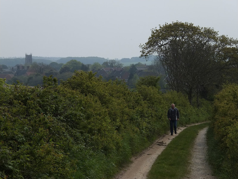
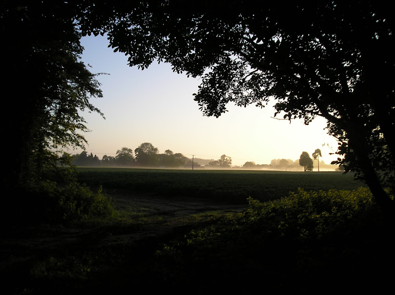
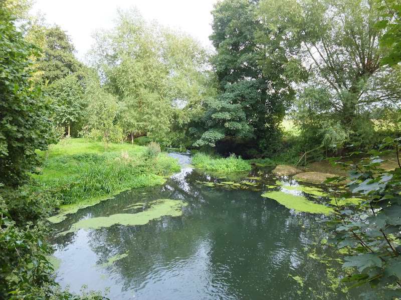
A 7 mile walk along Norfolk's Paston Way from Cromer to Gunton.

The Paston Way has a few alternative paths that stray from its main route between North Walsham and Cromer, and this walk takes the optional route out to Gunton from where a train can be taken back to Cromer. There are some worthy country pubs along this simple walk so a good old English pub crawl can also be had along with taking in the sights of the impressive churches at Northrepps and Southrepps plus local tales of wartime German conspiracies!

Thursday 24 February 2022

The Peddars Way - Watton to Castle Acre

Watton to Castle Acre

A long and straight trail across lanes and tracks from Watton to Castle Acre.

Once at Little Cressingham the Peddars Way draws a long straight line through across the landscape. Gentle undulations provide little in the way of changing scenery and The Blue Lion at North Pickenham provides a very welcome half way point to rejuvenate ones energies and rest ones weary legs and feet from the hard tracks and metalled lanes. Castle Acre is a novel little village with its castle and priory ruins, both of which are well worth exploring.

Tuesday 24 December 2019

Sheringham to Cromer Circular Walk

An easy 8 mile Norfolk coastal walk along beach and clifftops between Sheringham and Cromer

The Norfolk Coast Path was rerouted in 2014 as part of its inclusion to the England Coast Path. It now navigate alogn the cliff tops for most of the distance along what used to be permissive paths that have now become public. This walk uses both coast path and beach to create a delightful walk along this awe-inspiring section of the North Norfolk coast. Do check tide times and make sure the beach walk is undertaken 2 hours either side of low tide.

Saturday 29 December 2018

A Norfolk Broads Walk from Neatishead to Horning

Cormorants on Barton Broad

An easy 6 mile walk following the River Ant down to the Bure at Horning.

The Norfolk Broads are full of ghostly stories and this walk brings a few to life. From the spooky lights of Hoards Hole, encounters with Black Shuck and the curious transformation of Horning's riverside houses to Saxon days when it was just a grassy bank, there is plenty to reflect upon as one wanders the footpaths and quiet country lanes that make up this route. And maybe, who may tell, given the right conditions, you may even glimpse a spectral view from another dimension.

Monday 21 January 2019

An Amble up the Deben Estuary

Felixstowe Ferry

A 13 mile walk along the River Deben in Suffolk, starting at Felixstowe and ending in Martlesham

The lovely walk along the Deben estuary. Although parts are inaccessible due to breaches of the flood banks, the mix of riverside paths, country lanes and footpaths provides an ideal mix of landscapes to keep any walker fascinated. The May bush pub offers a perfect place to take a rest and refreshment, its riverside location unbeatable.

Friday 20 July 2012

North Norfolk Railway Beer Festival 2012

Beer Festival

The 11th North Norfolk Railway beer festival

Once again the North Norfolk Railway came up with another outstanding beer festival. Over 100 ales plus ciders were on offer in the perfect surroundings of a working steam railway together with live music. Carriages on platform 2 gave ample seating and cover for the few times when rain began to fall and a bbq in a wagon offered hotdogs and burgers. In my opinion the best beer festival around!

Tuesday 20 March 2018

Eye to Hoxne Circular Walk

Hoxne village

A 10 mile walk around the Suffolk villages of Eye and Hoxne

Hoxne is said to be where St Edmund was Martyred by the Viking invaders in the 9th century. The village is full of reminders of the gruesome event including the cross which marks the place of the oak tree his assailants tied him to, beat him, fired arrows at and eventually beheaded and the bridge he reputedly hid trying to escape his captors.

Friday 6 December 2019

Nar Valley Way - Kings Lynn to Narborough

Brick remains from the bridge which carried the former Kings Lynn to Dereham railway

A 15 mile walk following the River Nar from its outlet to the River Ouse up to Narborough

The walk starts along the quayside at Kings Lynn with all its fascinating historic buildings. The path soon heads out into open countryside following the river across this open landscape. Big skies. Views for miles and little in the way of civilisation until Narborough is reached.

Tuesday 4 December 2018

Paston Way - Trimingham to Cromer

St Botolphs church, Trunch

A 13 mile walk along Norfolk's Paston Way from Trimingham to Cromer.

This is a customised walk linking sections of the Paston Way to provide a route passing the churches of Trimingham, Trunch, Bradfield and Southrepps as well as the local village pubs which are obligingly open all day on a Sunday. The final section from Northrepps offers an alternative wander past Sally Beans Cottage, renowned for being the lookout from the old Smuggling days of the 17th century, into Cromer.

Thursday 24 February 2022

The Peddars Way - Knetishall Heath to Watton

Knetishall Heath to Watton

An easy trek across Breckland on the initial stages of the Peddars Way.

Being an old Roman road, the original Peddars Way is dead straight and there is little modern deviation from the original path all the way through to the North Norfolk Coast. This first stretch cuts through heath and Nature Reserves of Breckland using established broad farm tracks which present an easy going walk.

Wednesday 9 January 2019

Holt to Mannngton Circular Walk

An 18 mile circular walk using footpaths and bridleways through the attractive Norfolk countryside between Holt Country Park and the Mannington Estate.

This trail takes in woodland, open countryside, lanes and even a stream which one has to jump across to provide a variety of landscape. The majority of the route is clearly waymarked although the start in Holt country park lacks initial direction as does the section around the Mannington Estate. The only disappointment was the lack of pubs, the Hare and Hounds at Baconsthorpe having last closed its doors in 2010.

Tuesday 10 December 2019

North Walsham to Bacton Woods Circular Walk

wonky telegraph poles near Ebridge Mill pond

A 7 mile circular walk connecting the Norfolk town of North Walsham with Bacton Woods

The Norfolk countryside holds a lot of hidden gems and this walk discovers a few. The route uses country lanes and footpaths to provide an easy circular ramble. The woods are worth the effort and hold a hidden secret of the location of a gibbet on which, during the late 18th century, William Suffolk's body was hanged in chains for his murderous deeds. The return route passes the iconic Ebridge Mill and then leads onto the Weavers Way for the final section back to North Walsham

Saturday 29 December 2018

Nar Valley Way - Narborough to Dereham

Newton Mill

A 22 mile walk along the Nar Valley Way from Narborough to Dereham

This route is full of historic features including ruins of priories and castles as well as magnificent halls and watermills. The walk provides a varied landscape with woodland trails, riverside paths and saunters across open fields of this pleasant Norfolk countryside. Although a lengthy section of the Nar Valley Way there is plenty of time to accomplish the feat with late buses linking the two ends.

Thursday 17 January 2019

The Icknield Way - Herringswell to Knetishall Heath

A 25 mile walk along the Icknield Way between Herringswell and Knetishall Heath

This section of the Icknield Way reveals just how remote some areas of Suffolk can be. Apart from a couple of isolated hamlets there is nothing but forest trails and fields for the full 25 miles through to Knettishall Heath. This is perfect for those who like the solitude but one does need to make sure ample food and water supplies are taken for this lengthy hike.

Thursday 28 November 2019

A Walk to Suffolks Mystery Brampton Standing Stone

A 14 mile walk between Halesworth and Beccles along the East Suffolk Line Path

This waymarked route links the railway stations at Halesworth, Brampton and Beccles. Taking the train between these towns will provide an interesting glimpse of what is in store along the walk, including the rather curious Belle Grove Farm looking as if it is out of some fantasy movie and the mysterious Brampton Standing Stone just south of Brampton Station.

Monday 13 December 2021

Needham Market Lakes Walk

LAkes

A simple circular walk around the Needham Market Lakes

A popular destination for many local people with plenty of well defined footpaths around the lakes and woodland. This walk includes an extension to the Alder Carr Farm tea shop for refreshments

Sunday 22 December 2013

The Aftermath of the 2013 Storm Surge at Minsmere

Flattened dunes by the Northern Sea Wall to Minsmere

A 10 mile circular walk to witness the damage caused by the 2013 Storm Surge

The 2013 Storm Surge proved to be the highest tide in 60 years. Although much of the flooding had recede the evidence remained of where the waters reached. Viewing the changes in coastline shows just how vulnerable this stretch of the Suffolk coast really is, especially in view of the fact that such storms appear to be increasing in frequency. The walk returns through the heath and forest via Dunwich Heath and Eastbridge where the results of Octobers St Jude storm are evident from the many fallen trees.

Thursday 19 December 2019

In search of the Becks and Ponds of Beeston Regis

View from foot of Incleborough Hill

A 7 mile walk between East Runton and Sheringham in Norfolk, searching out a couple of good pubs and following Beeston Beck across Beeston Common.

This picturesque trail follows the foot of Inkleborough Hill to West Runton then navigates down to the northern end of Beeston Back Common where it follows the stream known as Beeston Beck down into Sheringham, past the site of an old watermill, now replaced by terraces of housing. Return is via West Runton with a stop at the Village Inn. At only 7 miles, this is a simple and easy afternoons stroll.

The Angles Way - Diss to Wortwell

Millpond near Weybread House, Harleston

A 17 mile walk along the Angles Way from Diss to Harleston and onto Wortwell

There is plenty of history along this section of the Angles Way as it follows the course of the River Waveney. Numerous archaeological finds have been found along the route dating from prehistoric times through roman pottery and remnants of the middle ages. There are lost villages, halls and churches to provide ample opportunity for exploration as the path meanders across the Norfolk Suffolk border.

Sunday 1 August 2010

Ipswich to Shotley Gate

A walk along the Shotley Peninsular
A 14 mile walk along the banks of the River Orwell in Suffolk between Ipswich and Shotley Gate.
The Stour and Orwell path is an extension to the southern end of the Suffolk Coast and Heaths Path and follows the coast and heaths along the estuaries of the Orwell and the Stour, going up to Ipswich, then back out to the Shotley peninsula before returning to Cattawade. I have always thought about walking this path as it is so close to home but have never attempted it until recently. On 22 May 2010 we walked the section from Felixstowe to Ipswich and this is the continuation of that walk.

Walk Summaries

Latest walk summaries are basic information sheets for walks that have yet to be fully documented. These provide links to maps, public transport and walks stats, although detailed notes and features are not included.

Latest Walk Summaries

Featured Walk

In Search of Sizewell Chapel

A 10 mile walk following the southern side of the parish boundary of Leiston in Suffolk This walk follows the route of a 17th century peramb...

What is GPX

All you need to know about GPX, electronic mapping and how to use modern apps and mobile devices as navigation devices

Popular Walks

Maps