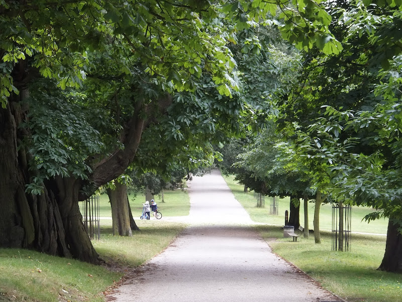
Suffolk Coast Path Challenge Walk Part 2
|
Tuesday 8 February 2022
|
No comments |
![]()
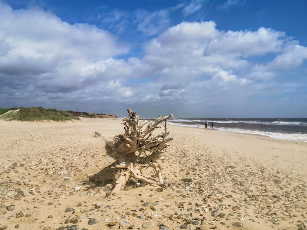
Suffolk Coast Path Challenge Walk Part 2
A 2 day challenge walk to complete the Suffolk Coast Path
|
Tuesday 8 February 2022
|
No comments |
![]()
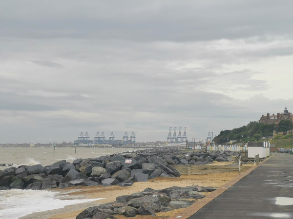
A 2 day challenge walk to complete the Suffolk Coast Path
|
Saturday 2 October 2010
|
No comments |
![]()

|
Tuesday 8 February 2022
|
No comments |
![]()
A 2 day challenge walk to complete the Suffolk Coast Path
|
Monday 3 January 2011
|
No comments |
![]()
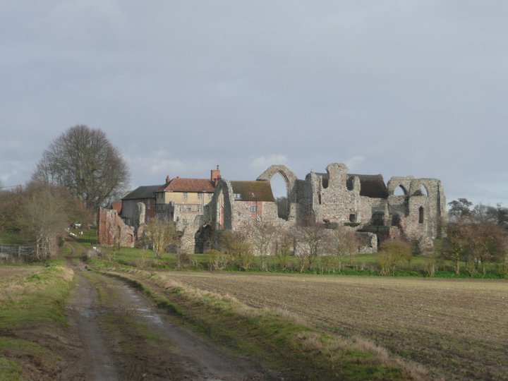
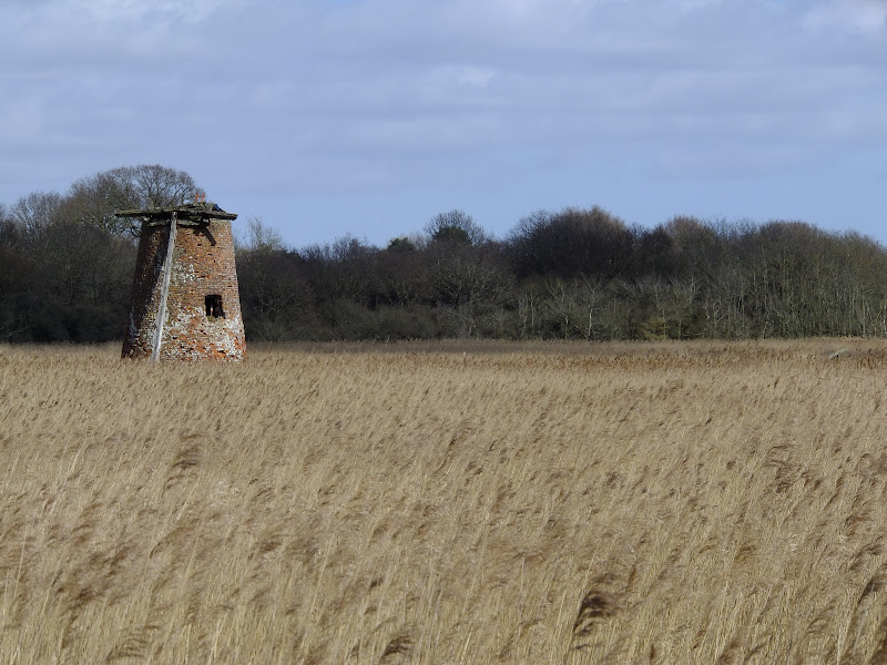
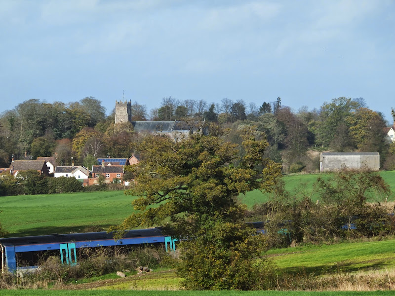
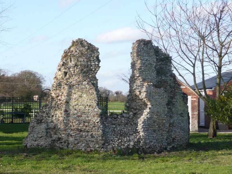
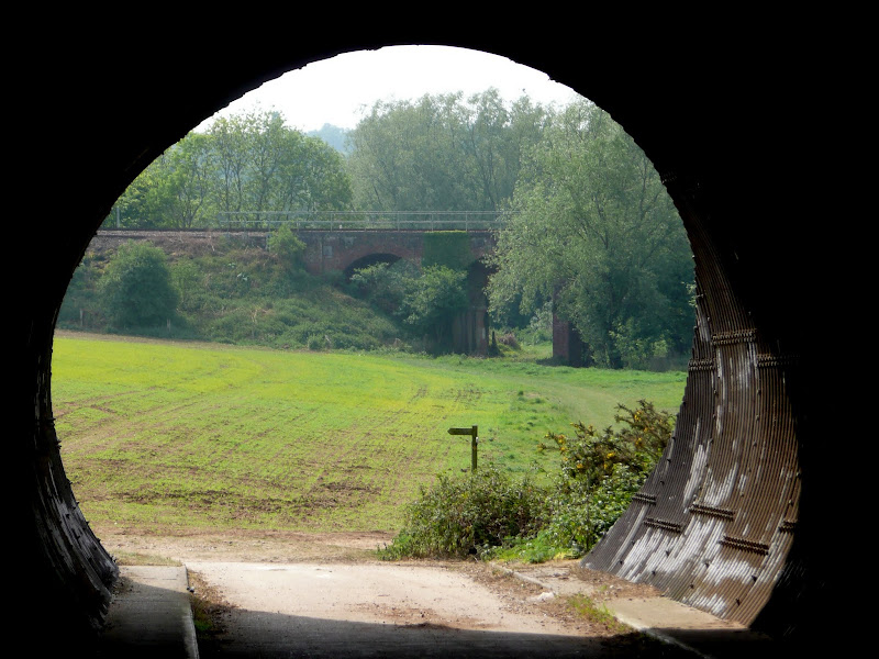
A 10 mile circular walk around Leiston and Eastbridge in Suffolk
Leiston Abbey was originally founded in the late 12th century by Ranulf de Glanville. The original building was constructed on an island in the Minsmere marshes. Two centuries later, due to the inhospitable conditions on the marsh and constant flooding the Abbey was moved inland, lock stock and stone to a site close to Leiston. Despite a great fire in 1367 and much demolition following the dissolution of the monasteries there still remains some impressive ruins. There is still a remnant of the old Abbey, with the former chapel building sitting in its island position above the marsh, decaying into the landscape and containing a WWII pill box. This walk visits both sites making a well worthwhile walk.
|
Friday 6 December 2019
|
No comments |
![]()
A 5 mile walk across the Coastal Suffolk landscape between Leiston and Saxmundham
This walk searches out footpaths to connect the neighbouring towns of Leiston and Suffolk. Although there is no direct route, the paths chosen are certainly more conducive to the walker than the busy road route. With the churches of Leiston and Knodishall on the route, plus the mysterious Harris's Pit in the parish of Sternfield there is enough to interest the avid rambler. Sternfield also has the notoriety of being the village from which the last woman to be burnt at the stake in England came.
|
Wednesday 21 November 2018
|
No comments |
![]()
A 12 mile walk between Woodbridge and Ipswich incorporating sections from the Fonnereau Way, the Sandlings and the Fynn Valley Way
This walk links the railway stations of Woodbridge, Westerfield and Ipswich with scenic views along the estuary at Woodbridge and the Fynn Valley before entering Ipswich from the west through the historic parkland known as Christchurch park which dates from the 12th century which includes many historic features and a mansion that is open to the public.
|
Friday 17 January 2014
|
1 comment |
![]()
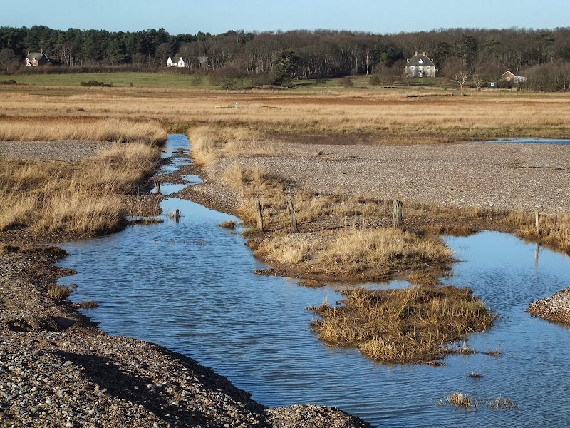
A 8 mile beach walk to witness the damage caused by the 2013 Storm Surge
The December 2013 Storm Surge caused widespread flooding of the marshes between Dunwich and Walberswick and along the Blyth estuary, closing the main A12 road at Blythburgh for three days. With most of the waters receded, this was the first opportunity to witness the damage caused to this vulnerable section of coastal marsh. Damage to the boardwalks and bridges have currently blocked access along the Suffolk Coast Path although the Beach Route is still accessible providing the tide is right.
|
Saturday 6 November 2010
|
4 comments |
![]()

A 9 mile walk from Slaughden Quay to Orfordness
This walk is an arduous ordeal across shingle but worthwhile to see the site where the iconic Orfordeness lighthouse once stood. There are warning signs deterring visitors from straying beyond Slaughden but the large number of fishermen that dot the shoreline throughout demonstrates that public access is tolerated along the beach. This fascinating, stark and eerie landscape is really a sight to behold.
|
Thursday 24 November 2011
|
No comments |
![]()
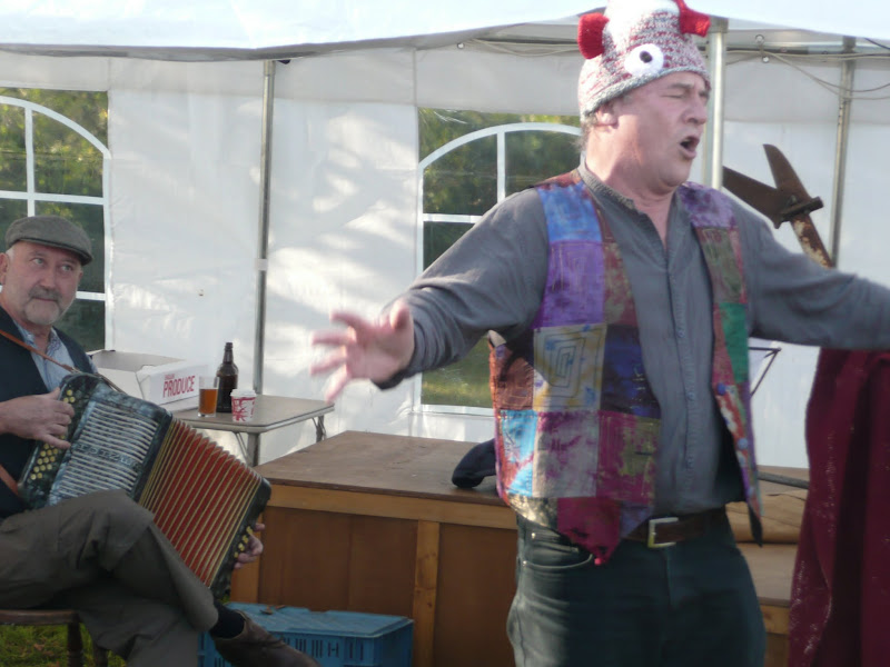
An 8.8 mile circular walk through the Suffolk countryside to attend the 2011 Suffolk Herring Festival at Middleton.
I have been to music festivals and folk festivals and country fairs and even the novel barrel fair, but I can honestly say that I have never ever attended a Herring Festival until this walk. Held on the grounds of the Farm Shop in the village of Middleton this two day event features food and drink, exhibitions, music and games, competitions, and demonstrations of herring preservation and preparation.
|
Tuesday 1 January 2019
|
No comments |
![]()
A walk encompassing the Westwood Marshes footpath into a circular route from Leiston
The Westwood Marshes footpath is little gem of a path that links the Newdelight Walks with the Suffolk Coast Path through the Westwood marshes. The route for this walk uses this path as the ultimate destination from Leiston but shorter alternatives to include this path are also detailed.
|
Monday 17 December 2018
|
No comments |
![]()
A 4 mile walk around Saxmundham, Kelsale and Carlton
Using footpaths an country lanes, this short walk provides some fine views, historic churches and even a ghostly tale of an apparition of phantom dancers. A worthy candidate for an afternoons exploration of this hidden corner of East Suffolk.
|
Sunday 12 December 2021
|
4 comments |
![]()

A 7 mile walk following the western parish boundary of Leiston in Suffolk, as described in a document from the middle-ages
This walk attempts to follow the instructions of a perambulation around the western side of the Leiston Parish boundary that was undertaken in the year AD1620. Leiston's history is renowned for its Abbey and the Garret's works, but this walk also discovers the site of a possible ancient pre-Christian shrine or temple, the location of the Leiston gallows and the procession route taken by those attending this gruesome public spectacle.
|
Sunday 24 July 2011
|
1 comment |
![]()
|
Friday 4 January 2019
|
1 comment |
![]()
An 8.4 mile circular walk around the Suffolk villages of Knodishall and Friston
An easy ramble across the Suffolk countryside, with the highlight being the hidden ruins of St Peters Church in the old parish of Buxlow, now a part of Knodishall. There's some fascinating history on this walk along paths that are off the beaten track but nonetheless well maintained.
|
Thursday 13 December 2018
|
No comments |
![]()

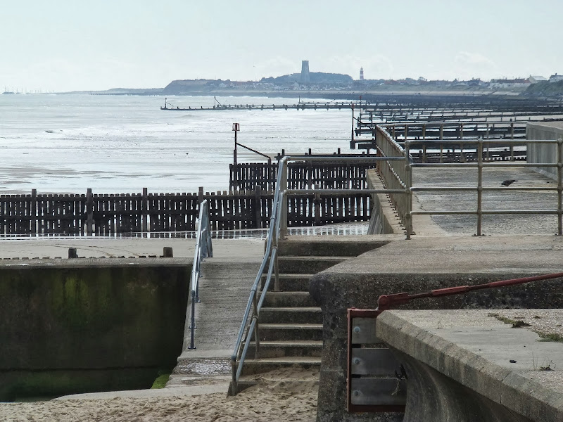
An 5.5 mile circular walk around Southwold
This walk navigates from Southwold Harbour around the northern part of the Blyth estuary known as Buss Creek, returning via the seafront to the harbour. One cannot miss out on a wander around the pier to take in the amazing sights of the quirky The Under the Pier show, the creation of Tim Hunkin and typical British eccentricity at its best.
|
Saturday 12 January 2019
|
No comments |
![]()

An 18 mile walk down the Blyth Valley in Suffolk from Halesworth to Blythburgh, then across the heaths and commons to Leiston.
It was the legendary hell hound that supposedly came this way in 1577 and terrified parishioners of Blythbrugh church after doing a similar job at Bungay. This walk is in two sections, the first section follows the River Blyth along the Waveney Way to Blythburgh with the option to continue on to Southwold. The Waveney Way is a Ramblers Association walk and does not have waymarkers along the route. An optional second section cuts across to Westleton and onto Leiston. Both Southwold and Leiston have public transport links to Halesworth making the walk achievable as a linear route without the requirement of assistance of a taxi.
|
Saturday 29 December 2018
|
No comments |
![]()

A 15 mile river side walk along the Deben Estuary in Suffolk between the villages of Melton and Bawdsey
This walk follows river side footpaths with spectacular views across the estuary. Unfortunately at Ramsholt there is no public access and one needs to divert through to the village of Alderton with a road walk for the last few miles to Bawdsey. A ferry crossing an a short walk into Felixstowe provides public transport access back to Melton
|
Monday 27 August 2012
|
No comments |
![]()
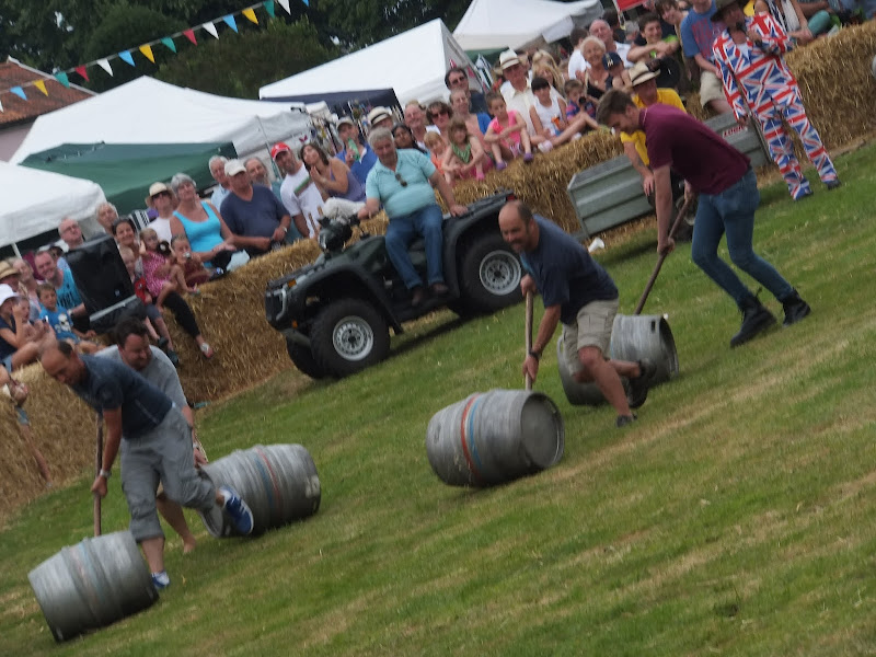
A simple 11 mile walk across the Suffolk heaths and woodland from Leiston to attend the annual Westleton Barrel Fair.
Despite a brief thunderstorm, a fantastic Summers day was had at the Westleton Barrel Fair 2012 living up to its expectations with all the usual fun and merriment. This years event featured music from Westleton's Doc Cox and Leiston's Random Blues Company, morris dancing from the Rumburgh Morris Dancers, outside bars from the White Horse and the Westleton Crown and, of course, the ever popular, chaotic, breath-taking and entertaining barrel races. This is a unique annual Suffolk event and well worth taking the time out to visit.
|
Saturday 29 December 2018
|
No comments |
![]()
A 13 mile walk between the Norfolk coastal villages of Mundesley and Happisburgh
This walk comprises of a circular route taking in both the beach and the cliff-top paths between the two Norfolk coastal villages of Mundesley and Happisburgh. The centre of this walk is at Walcott where the cliffs recede and access to the beach is obtainable. This enables the walker to customise this route according to tidal conditions as both Happisburgh and Bacton beaches can be cut off by high tides.
|
Wednesday 21 November 2018
|
1 comment |
![]()
A 16 mile walk along the Suffolk Fynn Valley between Woodbridge and Witnesham, with a return route via Grundisburgh and Hasketon.
The Fynn Valley Walk is an official waymarked route following the course of the River Fynn from Witnesham to Martlesham then continuing through to Woodbridge along the banks of the River Deben. For this walk, the Fynn Valley route is walked in reverse then public footpaths are used across the fields to Grundisburgh and Hasketon and back down into Woodbridge to make a circular walk.
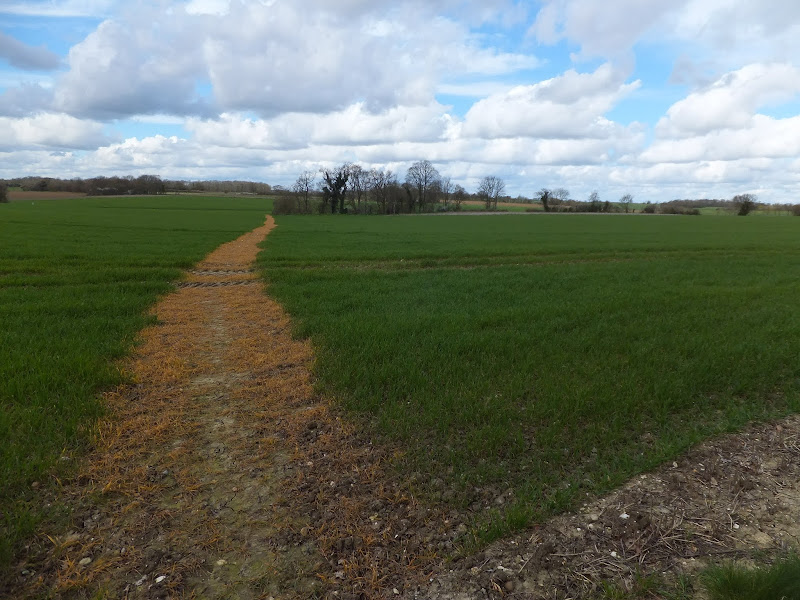
A 10 mile walk following the southern side of the parish boundary of Leiston in Suffolk This walk follows the route of a 17th century peramb...


