Route details, maps, pubs, features, local history and folklore for a wide variety of walks focusing primarily on Norfolk and Suffolk

Circular Walk Walks
Showing posts with label Circular Walk. Show all posts

Tuesday 4 September 2018

Wenhaston Circular Walk

Salt marsh

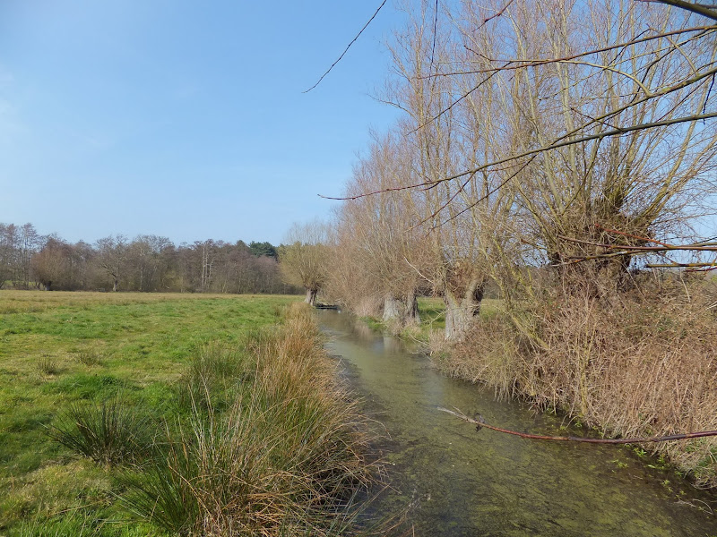
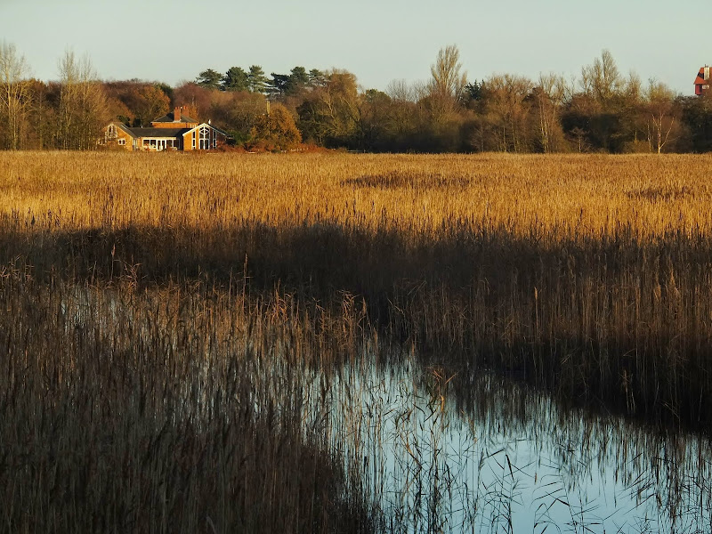
A ramble of the heaths and commons around the Suffolk village of Wenhaston

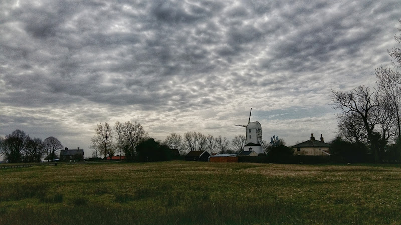
This walk is one of Suffolk's hidden secrets that will not fail to impress. The village of Wenhaston lies on the back road between Blythburgh and Halesworth and is probably missed by most folk travelling in this direction.

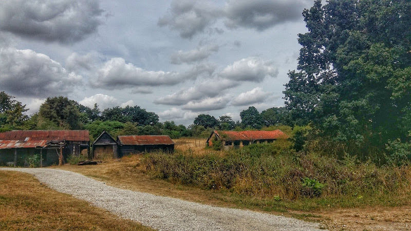
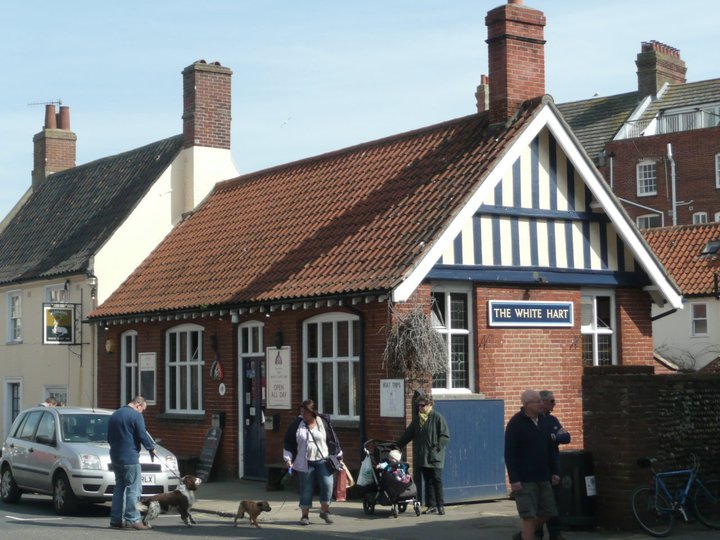
The village is centred on a number of ancient heaths and commons which have now becomes havens of nature and which this walk navigates around. Blackheath, Church marshes, Bickers Heath are all visited on this specific walk. There is also the traditional pub in the Star Inn, unspoilt and well worth visiting for its food and range of ales. There is also a reputedly haunted area known as Peggys Stile which is located where the footpath exits onto the road just up from the pub. A stile no longer exists at this location but local folklore warns of the ghostly spectre of Peggy who, depending upon the version that is told, was either a witch or donkey.

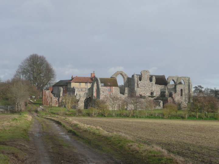
The highlight of the walk is at the end, namely St Peter's church which hosts an artwork known as the Wenhaston Doom. This magnificent painting, which depicts the Last Judgement, dates from the late 15th century and was reputedly painted by a Blythburgh monk. The painting was discovered during Victorian restoration of the church in 1892 when the decaying whitewashed wooden boards above the chancel arch were taken down and left outside, some say to be used as firewood. That night it rained and the whitewash was washed away revealing the painting which had been hidden since the time of the reformation. What is remarkable about this painting is that, unlike other surviving medieval art which were painted onto plaster, this is still bright and vivid and is the only such example in the country.

Thursday 30 August 2018

Runton and Incleborough Hill Walk Sumary

Salt marsh

Short circular walk over Incleborough Hill in North Norfolk

Incleborough Hill stands above the villages of East and West Runton on the North Norfolk Coast. At 260 feet in height and covered with low level gorse bushes it provides magnificent unobstructed views across the coast from Cromer to Sheringhamm and beyond. One cannot help but be impressed and in awe at the sight.

The walk is not arduous and apart from a short climb up steps it is achievable by most able bodied folk. The return is down a much gentler slope to West Runton and to the coast to follow the Norfolk Coast path back to East Runton.

Saturday 18 August 2018

The Sandlings Walk - Knodishall to Sizewell Belts

Sizewell Belts

A 9 mile circular walk that links Knodishall and Sizewell Belts along Suffolk's Sandlings Trail

An easy walk across the typical heaths and commons of Coastal East Suffolk that make up the Sandlings. There is woodland, marsh, and rambling sandy heath full of flora fauna and wildlife.

NOTE: The section from Sizewell through to Leiston Common, Sizewell Belts is no longer part of the official Sandlings path. It has been rerouted along the beach in front of the power station and then through Kenton Hill woods. This Sizewell Belts walk as described here is still accessible using permissive paths.

Wednesday 15 August 2018

Aldringham Fen Walk Summary

Salt marsh

A Short Circular Walk around Aldringham Fen

This is one of Suffolk's little secrets, hidden away from roads and off the beaten track. Tranquillity is guaranteed and there are some times of the year when one can walk around the entire route without seeing a soul. The area known as Aldringham Fens is a secluded haven of nature and wildlife, an area of marsh and reed-bed fed by the Hundred river which passes to the southern side of the fens.

It is thought that the fen may have possibly been the result of medieval peat extraction. It is known that before the railway arrived The Fens were a continuation of what is now Thorpeness Mere, the whole area being a vast shallow expanse of salt marsh. The railway provided an embankment to separate the Mere from the fen and the Mere became the modern day boating lake as part of Glencairn Stuart Ogilvie's early 20th century vision of a creating an idyllic Seaside village by the sea.

Access to the walk is via a footpath from Aldringham through to the picturesque Aldringham church. This is a pleasant path through an undulating Suffolk coastal countryside. The path continues down to the fen through more country side before circumnavigating the wetland by footpaths across boardwalks, across heath and through woodland . Return is back via the church.

This walk can equally be accessed from the village of Thorpeness, navigating along the side of the Mere to North Warren where there is access onto the Fen path.

Thursday 9 August 2018

Saxtead and Earl Soham Circular Walk Summary

Salt marsh

A country ramble through rural Suffolk taking in the villages of Saxtead and Earl Soham

This walk can be described as a typical Suffolk rural ramble. Quiet country lanes and accessible footpaths make this suitable for anyone.

Highlights begin almost immediately with the working Saxtead Green Post Corn Mill, preserved and maintained by English Heritage. As the route descends into Earl Soham there is the 13th century church of St Mary which is well worth visiting. The village of Earl Soham is a real piece of picture postcard Suffolk with its broad leafy main street providing an air of tranquillity. At the western end the road passes across the River Ken which is no more than a babbling brook that feeds into the River Deben.

At the edge of the village is the traditional old pub known as The Victoria. Unspoilt and unmodernised, this is a delight to visit. It once hosted a brewery, but due to demand it was moved across the road and has subsequently moved out of the village although it still supplies the pub with its traditional local ales.

Leiston to Reckford Circular Walk Summary

Salt marsh

A circular walk encapsulating Leiston Airfield, Theberton woods and the Minsmere River

Few may have heard of Reckford and indeed as a location it is pretty much lost in the landscape. There is a Reckford Road in the neighbouring village and there is a 16th century Reckford Farmhouse and there is the Reckford Bridge but to all intents and purposes the community of Reckford is not recognised, just a small area of the village of Middleton. Whether the area was ever judged to be a village is unknown. Nonetheless we will make it the destination of this circular walk.

The walk has much to feast ones eyes upon. The former WWII Leiston airbase commonly known as RAF Leiston hosted the USAF 357th Fighter Group who were locally known as the Yoxford Boys. Little is left although there is a memorial that pays homage to the US crews that flew out of this airfield and never returned. There are some hidden remnants in the landscape, a broken up runway that crosses the farmland, old buildings that have camoflaged themselves in the undergrowth and now either lie redundant of have been put to use as farm buildings.

The walk continues onto the broadleaved woodland known as Theberton Woods before navigating down the quiet country lanes and tracks to Reckford.

Return is along the banks of the Minsmere river to Eastbridge then back to Leiston via the Abbey ruins.

Tuesday 20 March 2018

Eye to Hoxne Circular Walk

Hoxne village

A 10 mile walk around the Suffolk villages of Eye and Hoxne

Hoxne is said to be where St Edmund was Martyred by the Viking invaders in the 9th century. The village is full of reminders of the gruesome event including the cross which marks the place of the oak tree his assailants tied him to, beat him, fired arrows at and eventually beheaded and the bridge he reputedly hid trying to escape his captors.

Sunday 4 February 2018

In Search of Sizewell and Thorpe Beacons

Sizewell

A 10 mile walk following the southern side of the parish boundary of Leiston in Suffolk

This is the second article devoted to the walk following the route of a 17th century perambulation around the southern side of the Leiston Parish boundary. This article is concentrates on two landmarks from the past, namely Sizewell and Thorpe Beacons, which are thought to have been part of the Armada warning system.

Wednesday 15 February 2012

Winter Snows on Thorpeness Common

Snow on the common

An 7 mile circular walk across The Walks and Thorpeness Common.

The winter snows finally arrived in February this year creating a wonderful winters scene across the Aldringham and Thorpeness Commons, enticing folk out to witness the scene and encouraging local kids to take advantage of sledging down the slopes of the marl pit.

Thursday 15 December 2011

Autumn on Thorpeness Common

A 6 mile circular walk across the commons of the East Suffolk Coastal area linking Leiston, Thorpeness and Sizewell.

Autumn on Thorpeness Common is a great time to hunt out mushrooms, harvest sloes and admire the changing of the seasons. I am not expert on mushrooms and certainly would not even dare to pick a wild mushroom to eat without specific advice from a fungi expert, nonetheless, it is always good to view them. The sloes are a different matter though, for a second year running we have gathered copious quantities of this bitter fruit in order to get some sloe gin ready for Christmas. There were so many this year we ended up giving much of our labours away!

Thursday 24 November 2011

The Rather Curious Herring Festival 2011

An 8.8 mile circular walk through the Suffolk countryside to attend the 2011 Suffolk Herring Festival at Middleton.

I have been to music festivals and folk festivals and country fairs and even the novel barrel fair, but I can honestly say that I have never ever attended a Herring Festival until this walk. Held on the grounds of the Farm Shop in the village of Middleton this two day event features food and drink, exhibitions, music and games, competitions, and demonstrations of herring preservation and preparation.

Tuesday 3 May 2011

Sun, Sea, Beer and Chips

The White Hart Aldeburgh

A 13 mile circular walk from Leiston to the White Hart Beer Festival in Aldeburgh

Easter 2011 was a really warm and sunny occasion and what better way to spend a Good Friday and Easter Monday than a casual walk through to Aldeburgh where The White Hart pub was holding its 9th Annual Beer Festival. Over 30 ales from across the country plus a selection of real cider, this really had to have something for everyone.

Monday 3 January 2011

In Search of the ruins of Leiston Abbey

A 10 mile circular walk around Leiston and Eastbridge in Suffolk

Leiston Abbey was originally founded in the late 12th century by Ranulf de Glanville. The original building was constructed on an island in the Minsmere marshes. Two centuries later, due to the inhospitable conditions on the marsh and constant flooding the Abbey was moved inland, lock stock and stone to a site close to Leiston. Despite a great fire in 1367 and much demolition following the dissolution of the monasteries there still remains some impressive ruins. There is still a remnant of the old Abbey, with the former chapel building sitting in its island position above the marsh, decaying into the landscape and containing a WWII pill box. This walk visits both sites making a well worthwhile walk.

Saturday 6 November 2010

Expedition to Orfordness Lighthouse

The iconic Orfordness lighthouse

A 9 mile walk from Slaughden Quay to Orfordness

This walk is an arduous ordeal across shingle but worthwhile to see the site where the iconic Orfordeness lighthouse once stood. There are warning signs deterring visitors from straying beyond Slaughden but the large number of fishermen that dot the shoreline throughout demonstrates that public access is tolerated along the beach. This fascinating, stark and eerie landscape is really a sight to behold.

Sunday 15 August 2010

An Amazing Adventure to Westleton Barrel Fair 2010

An Amazing Adventure to Westleton Barrel Fair 2010
A 9 mile return Suffolk walk from Leiston to Westleton to attend the annual Westleton Barrel Fair
This isnt a walk that I would normally include as it is not really a true circular walk, but Westleton Barrel Fayre is worth the mention in itself! Each year Westleton Village organises the mid-August fayre and rather than driving to the event it is just as easy to walk the 4.5 miles. You can walk down the lanes from Leiston to Eastbridge, but as there had been so much rain in recent days, we decided to keep to the road. There is a pavement out of Leiston, then the road to Eastbridge is a one lane track with little traffic. Then it is a pleasant walk through the woods. Westleton Barrel Fayre was a most excellent adventure

Walk Summaries

Latest walk summaries are basic information sheets for walks that have yet to be fully documented. These provide links to maps, public transport and walks stats, although detailed notes and features are not included.

Latest Walk Summaries

Featured Walk

In Search of Sizewell Chapel

A 10 mile walk following the southern side of the parish boundary of Leiston in Suffolk This walk follows the route of a 17th century peramb...

What is GPX

All you need to know about GPX, electronic mapping and how to use modern apps and mobile devices as navigation devices

Popular Walks

Maps