Route details, maps, pubs, features, local history and folklore for a wide variety of walks focusing primarily on Norfolk and Suffolk

Features:Folklore Walks
Showing posts with label Features:Folklore. Show all posts

Saturday 7 December 2019

South West Coast Path - Porthcothan to Padstow

Hawkers Cove

An 13.5 mile walk along the South West Coast Path between Porthcothan and Padstow

A moderate walk by South West Coastpath standards and even with a misty morning it is nonetheless spectacular. The walk includes Harlyn Bay and Mother Iveys Cottage, which is the source of a local legend of a cursed field. The end is at the bustling port of Padstow where there is plenty of opportunity for rewarding refreshments.
South West Coast Path - Port Isaac to Polzeath

Port Isaac Haven

An 9 mile walk along the South West Coast Path between Port Isaac and Polzeath

A stunning walk that is not too challenging. It starts at the picturesque village of Port Isaac before winding its way past Port Quin and around the Rumps headland and Pentire Point before descending to the surfing Mecca of Polzeath. The scenery takes ones breath away and every turn there is something new to see.

Friday 6 December 2019

The Wensum Way - Dereham to Lenwade

River Wensum near Bylaugh

A 13 mile walk through the Norfolk countryside following the Wensum Way

Opened in 2012, the Wensum Way was the connecting link between the Nar Valley Way and The Marriott's Way to enable a Cross Norfolk Trail from Kings Lynn to Great Yarmouth. The name of the trail is taken from the River Wensum which it follows from Swanton Morley through to Lenwade. This is a picturesque ramble through the Norfolk countryside.

Thursday 28 November 2019

A Walk to Suffolks Mystery Brampton Standing Stone

A 14 mile walk between Halesworth and Beccles along the East Suffolk Line Path

This waymarked route links the railway stations at Halesworth, Brampton and Beccles. Taking the train between these towns will provide an interesting glimpse of what is in store along the walk, including the rather curious Belle Grove Farm looking as if it is out of some fantasy movie and the mysterious Brampton Standing Stone just south of Brampton Station.

Tuesday 26 November 2019

Horstead to Heggatt Circular Walk

Horstead millpond and mill

A stroll along the southern side of the River Bure to the ancient hamlet of Heggatt

This short walk takes one through country lanes and along old tracks and footpaths on the southern side of the River Bure. Highlights include the ruins of Horstead Mill and views across the valley to Coltishall and Belaugh. Plus a walk would not be complete without a little piece of folklore, and this one is all about a prophesy centred around a tree on Heggatt Common

Friday 5 April 2019

The Alde Valley Walk - Leiston to Wickham Market

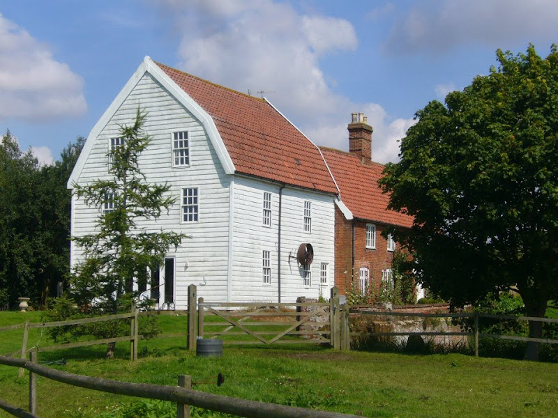
Beversham Mill

A 16 mile walk along the East Suffolk Line Path between Leiston and Wickham Market

Although the official route for the East Suffolk Line Path links the stations at Saxmundham and Campsea Ashe, this provides an alternative route using the local bus service to link the two ends. Highlights along the route include the picturesque Beversham Mill and the legendary Blaxhall Stone which is said to progressively grow in size.

Tuesday 26 February 2019

Rushden Skew Bridge Lake Walk

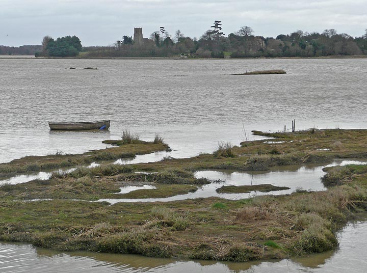
Salt marsh

Short circular walk around the Skew Bridge Ski Lake

A very simple and easy walk along the footpaths around Skew Bridge Ski Lake. Situated on the edge of the Rushden Lakes shopping complex with restaurants and decking facing onto the lake, this trail circumnavigates the waters through the woodland that surrounds it. Wood based sculptures of a plethora of creatures can be found throughout. Any visitor to Rushden Lakes should take the opportunity to wander this trail.

Friday 1 February 2019

Weavers Way - Potter Heigham to Great Yarmouth

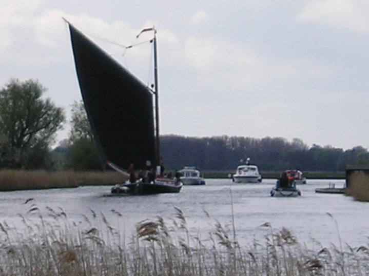
A wherry heads down the river Thurne

A 20 mile walk through the Norfolk Broads following the rivers Thurne and Bure from Potter Heigham to Great Yarmouth

A walk that follows the rivers Thurne and Bure down to the town on Acle. There is then some challenging navigation across Halvergate marshes to end up walking along the banks of Breydon Water into great Yarmouth. This really is the epitome of what everyone imagines of the Norfolk Broads. Broad open skies and large open flat landscapes.

Saturday 26 January 2019

Norfolk Coast Path - Cley to Wells-next-the-Sea

Marshes near Blakeney

A 10 mile walk following the Norfolk Coast Path between Cley and Wells-next-the-Sea

An easy walk along the Norfolk Coast Path navigating out across the marshes to Blakeney then along the marsh perimeter to Wells. Blakeney is a worthy stopping point to explore Mariners Hill and the Guildhall and take in the legends of the Blakeney tunnels and the tragic story of the Blakeney Fiddler who is depicted on the village sign.

An Extended Walk around the Rendlesham UFO Trail

A 12 mile circular walk starting at Eyke and incorporating the UFO Trail in Suffolk's Rendlesham Forest

The Rendlesham UFO trail is a waymarked 3 mile trail around the eastern end of Rendlesham Forest that navigates around the key areas that were involved in the Rendlesham Forest Incident of 1980 in which both civilian and military personnel witnessed unexplained craft land within the forest. Although this can be walked by parking up at the visitor car-park in the forest, a longer alternative is to take the footpaths from Eyke, and make a day of this most wonderful and intriguing part of Suffolk.

Thursday 24 January 2019

Folklore Trail around East Runton

Railway bridge at the end of Thains Lane with Inclborough Hill in the background

A 4 mile walk between East Runton and Cromer searching out old folklore

Using country lanes and tracks, this circular trail navigates around a East Runton to visit the various locations in Runtons history and folklore. Woodhill House is the location of an unidentified skeleton found during road widening. Thains Lane has the village's old smithy. The old Windmill sets the scene for the emanation of ghostly lights that crossed over to a copse. With a pub stop at Cromer and return via the redefined course of the Norfolk Coast Path, this makes for an excellent short walk on a spooky Autumn evening.

Sunday 20 January 2019

Forest of Dean Sculpture Trail Walk

Bright autumn colours

A simple 3 mile circular route in the Forest of Dean on the sides of the Cannop Valley

A walk around the Forest of Dean in Gloucestershire roughly following a trail around a series of sculptures. Trees, sculptures, views, more trees and if you are lucky wild boar, deer and sheep can be seen in this wonderful piece of woodland.

Walk Around the Wash - Fosdyke to Sutton Bridge

River Nene at Scott Lighthouse

An 18 mile along the sea defence banks from Fosdyke to Sutton Bridge

A fairly extensive walk into the wide open expanse of the Wash along defence banks that lead the way around the extremities of the reclaimed land. It is awe-inspiring, it is remote. An RAF bombing range occupies a length of the furthermost parts but this does not restrict the use of the path. The eastern side of this walk is said to be the area that King John lost the crown jewels in the 13th century when he attempted to cross the Wash.

Friday 18 January 2019

A Walk through the Garden of Suffolk

A 14 mile walk between Saxmundham and Darsham along the East Suffolk Line Walk.

It is Yoxford that gives us the name of this walk which is part of the East Suffolk Line Walks and this specific ramble extends the line walk to return to Leiston where a regular bus service connects the two ends. Yoxford sits on the banks of the River Yox surrounded by three country house parks; Sibton Park that contains large well stocked fishing lake; Grove Park situated in the village; and Rookery Park on the Leiston road. This has earned Yoxford the name of the 'Garden of Suffolk'. The whole route of this walk is a pleasant amble through the rural fields of Suffolk with a return journey through the pretty country lanes following the Minsmere river through to Middleton, Theberton and finally Leiston.

Saturday 12 January 2019

Down the Blyth Valley in Pursuit of Black Shuck

River Blyth near Halesworth

An 18 mile walk down the Blyth Valley in Suffolk from Halesworth to Blythburgh, then across the heaths and commons to Leiston.

It was the legendary hell hound that supposedly came this way in 1577 and terrified parishioners of Blythbrugh church after doing a similar job at Bungay. This walk is in two sections, the first section follows the River Blyth along the Waveney Way to Blythburgh with the option to continue on to Southwold. The Waveney Way is a Ramblers Association walk and does not have waymarkers along the route. An optional second section cuts across to Westleton and onto Leiston. Both Southwold and Leiston have public transport links to Halesworth making the walk achievable as a linear route without the requirement of assistance of a taxi.

Friday 11 January 2019

A visit to the rather curious Happisburgh

Happisburgh lighthouse

A simple 3 mile circular walk along the Norfolk Coast between Happisburgh and Eccles

Happisburgh is curious - it is slowly being taken by the sea, its houses slowly falling victim to the tides. The pub gardens boast a signal box to a railway line that never got built. A lighthouse stands guard to the south and its lifeboat is located at the next village of Eccles. In recent times the tide has uncovered prehistoric human footprints. And there is local folklore of ghostly smugglers and misdeeds. Very curious indeed.

Wednesday 9 January 2019

In Search of the Mysteries and Legends of Iken and St Botolph

A 7 mile walk along the Alde estuary, following the Suffolk Coast Path from Snape to Iken

There are disputes as to whether Iken is the land of Icanho that St Botolph was granted by King Ethelmund to build his minster in the 7th century. If it was then there were marsh demons in these parts during those time and one can still feel the eeriness of the area with the mysterious Yarn Hill where Botolph reputedly drove away the ghosts and marsh demons in order to build his minster. It was eventually completed on the site of the historic church at Iken which still bears his name. The church is a fascinating place to visit - be sure to spend a little time here and see St Botolphs stone cross which was unearthed in 1977 and is on display within the church.

Tuesday 8 January 2019

Knebworth Circular Walk

Mardley Heath woodland

A 5 mile around Knebworth taking in Rabley Heath nature reserve

A short circular walk that includes a section through woodland of Rabley Heath Nature Reserve. Refreshments can be found at The Robin Hood and The Lytton Arms which has a large selection of real ales.

South West Coast Path - Lands End to Mousehole

Enys Dodnan

An arduous but rewarding 13 mile walk along the South West Coast Path between Lands End and Mousehole

This is an arduous section of the coast path but is nonetheless worthwhile for its spectacular scenery and rugged landscape. There is little in the way of civilisation throughout the entire route but the views and amazing with the natural wonders of the Longships rocks, Gwennap Head, Logans Rock and so much more.

Monday 7 January 2019

South West Coast Path - Land's End to Sennen Cove

Coast path to Sennen Cove

A very easy 1.6 mile walk between Lands End and Sennen Cove on the South West Coast Path

This is an easy walk along this magnificent coast line. A bus service links the two ends or it can be completed as a circular walk returning along the Cornish Way cycle track which runs parallel to the Coast Path . Looking out towards the9this is included in the Viewranger navigation) west and the Scilly Isles one may catch a glimpse of a spire or a dome or hear the muffled toll of bells from the fabled land of Arthurian legend that is known as Lyonesse and which disappeared beneath the waves.

Walk Summaries

Latest walk summaries are basic information sheets for walks that have yet to be fully documented. These provide links to maps, public transport and walks stats, although detailed notes and features are not included.

Latest Walk Summaries

Featured Walk

In Search of Sizewell Chapel

A 10 mile walk following the southern side of the parish boundary of Leiston in Suffolk This walk follows the route of a 17th century peramb...

What is GPX

All you need to know about GPX, electronic mapping and how to use modern apps and mobile devices as navigation devices

Popular Walks

Maps