Route details, maps, pubs, features, local history and folklore for a wide variety of walks focusing primarily on Norfolk and Suffolk

Walks
Showing posts sorted by relevance for query West Bay. Sort by date Show all posts

Sunday 23 December 2018

South West Coast Path - Porthleven to The Lizard

The Lizard

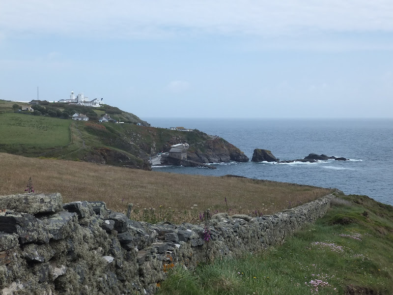
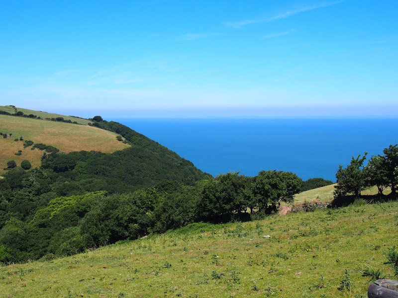
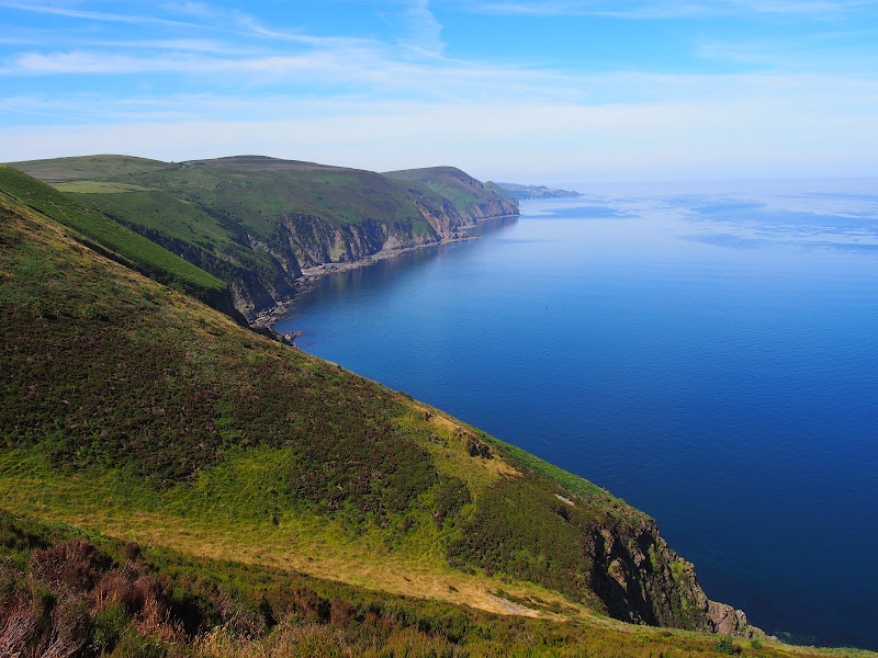
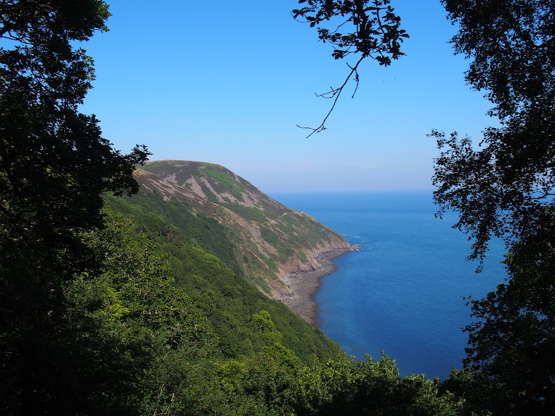
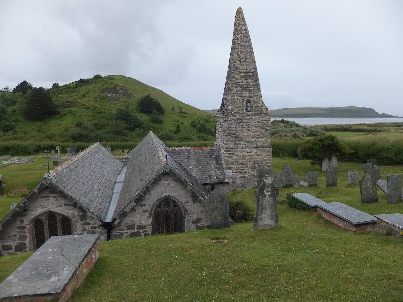
An 15 mile walk along the Cornish section of the South West Coast Path between Porthleven and The Lizard

A walk to Britain's most southerly point, The Lizard. There are a few challenging climbs along the route although the path is predominantly across grassy cliff-tops with some fantastic views along the coast. This walk crosses the renowned Loe Bar in front of Loe Pool which is said to have been where King Arthur's sword Excalibur was thrown upon his death.

Wednesday 18 July 2018

Porlock Weir to County Gate Walk Summary

Salt marsh

A simple 6 mile walk from Porlock Weir to County Gate Car Park

The walk navigates along the higher SWCP route through to Wheatham Combe from where the County Gate car park can be reached along bridleways. This route has the advantage of some fantastic views over the coast as opposed to the lower route through the wooded lower reaches of the cliffs. This walk does need the assistance of a friend or acquaintance to provide a return journey between the two ends of the walk, alternatively the walk can use the lower SWCP to make a circular route.

Monday 9 May 2016

Seaside Walk Week

Seaside Walk Week

It will soon be 2016 Seaside Walk Week. From Sunday 29 May to Sunday 5 June, this event, which is in its second year and organized by the charity Family Holiday Association, is dedicated to getting everyone outside to enjoy some fresh air and the beauty of the Great British seaside. The event will launch with an official walk in Scarborough, Britain’s first seaside resort, and end with another official walk as part of a grand finale weekend in Weston-super-Mare. Full details are available from their website page for Seaside Walk Week.

Tuesday 10 July 2018

Combe Martin to Lynmouth Walk Summary

Salt marsh

Strenuous walk from Combe Martin to Lynmouth passing over the highest point on the SWCP

A strenuous walk between Combe Martin and Lynmouth passing over Great Hangman which at 319m is the highest point on the SWCP. This specific route provides an alternative to the official SWCP path out of the Heddon Valley which does reduce the distance slightly. This does give an advantage if one needs to return to the start using public transport as there is only a limited bus survice back to Combe Martin which involves having to travel via Barnstaple.

Tuesday 17 July 2018

County Gate to Lynmouth Circular Walk Summary

Salt marsh

Circular walk linking the County Gate car park and Lynmouth

There is no public transport between Porlock and Lynmouth, therefore a days linear walk is not possible if one requires to return to the start. This walk uses a mid-point of the County Gate car park, located on Exmoor, to provide a circular route using the SWCP and Coleridge Way. The SWCP section is not too strenuous and provides some amazing coastal views whilst the Coleridge Way makes a very pleasant ramble alongside the East Lyn River to return to the County Gate

Saturday 16 June 2018

South West Coast Path - Westward Ho! to Barnstaple

Salt marsh

One of the few low level and flat walks on the SWCP, 12.5 miles between Westward Ho! to Barnstaple

A very easy walk that can be split into two if required. The first part navigates around Northam Burrows, the duned area that juts out into the Taw and Torridge estuary. A ferry at Appledore links across to Instow where the trail continues making use of the former Bideford and Barnstaple railway trackbed.

Saturday 11 May 2019

In Search of Polsborough Gate

track to Aldeburgh Road

A 9.5 mile walk following the old Snape Road to the Sailors Path

This walk links Leiston with the Sailors Path following the old traditional road that used to link the town with Snape. There is then an outstanding ramble across Black heath and Hazlewood marshes through to Aldeburgh where a regular bus service links back with the start. Along this route was what in the 1700s was known as Polsborough Gate, a landmark whose position and derivation is unknown but with a little research some information about it can be determined

Friday 17 January 2014

The Aftermath of the 2013 Storm Surge Dunwich to Walberswick

Floods and dykes at Dingle Marsh

A 8 mile beach walk to witness the damage caused by the 2013 Storm Surge

The December 2013 Storm Surge caused widespread flooding of the marshes between Dunwich and Walberswick and along the Blyth estuary, closing the main A12 road at Blythburgh for three days. With most of the waters receded, this was the first opportunity to witness the damage caused to this vulnerable section of coastal marsh. Damage to the boardwalks and bridges have currently blocked access along the Suffolk Coast Path although the Beach Route is still accessible providing the tide is right.

Sunday 16 December 2018

Alternative Coast Path Route from Sheringham to Cley

View from the hillside between Salthouse and Cley

A 10 mile alternative route for the North Norfolk Coast Path between Sheringham and Cley

This walk takes diversions from the official route of the North Norfolk Coast Path via the North Norfolk Railway and the Weybourne Priory Ruins. A further alternative is then used to navigate away from the strenuous shingle walk along the coast to a more gentle amble up to the village of Salthouse and across the hills to Cley. This provides a scenic and interesting alternative to the official route of the North Norfolk Coast Path and gives some spectacular views across the marshes from the hillside between Salthouse and Cley.

Saturday 7 December 2019

South West Coast Path - Perranporth to Newquay

Tidal bridge across The Gannel Estuary

An 11 mile walk along the South West Coast Path between Perranporth and Newquay

By South West Coast Path standards this is an easy walk along the low level cliffs with no particularly difficult climbs with the usual spectacular coastal views. The main obstacle on this section is crossing the River Gannel estuary. There are three footbridges but these are all dependant upon the state of the tide so tide tables need to be consulted and the walk planned appropriately.

Thursday 10 January 2019

South West Coast Path - Hartland to Bude

Screda Cove

An 19 mile walk along the South West Coast Path between Hartland to Bude

The section from Hartland to Bude is the most challenging part of the whole South West Coast Path. There are ten deep valleys to cross which seem unrelenting but the reward is some of the most spectacular scenery of the whole trail. This is definitely something for the more experienced hiker to undertake.

Wednesday 18 December 2019

Lincolnshire Coast Path - Cleethorpes to Mablethorpe

North Coates Marshes

A 23 mile walk along the Lincolnshire Coast between Cleethorpes and Mablethorpe

Although a Lincolnshire Coast Path has yet to be established, this walk sets out a viable route for all budding coast walkers. This follows defence banks and permissive paths with a little road walking where necessary.

Wednesday 9 February 2022

The Ridgeway - Great Kimble to Aston Rowant

The Ridgeway - Great Kimble to Aston Rowant

The second walk of a multi day hike along the Ridgeway going East to West

This walk starts from the vilalge of Great Kimble to follow the Ridgway National Trail. This was part 2 of a multiday hike which ended at the Lambert Hotel in Aston Rowant

Sunday 13 January 2019

Goathland to Grosmont Rail Trail

USA Class S160 locomotive 6046

A simple 3.5 mile walk along side the North Yorkshire Moors Railway

Amazing scenery with the sounds of steam engines chugging up the gradients makes this an awesome walk. The route follows the Esk Valley through woodland and open pasture in this idyllic Yorkshire setting. The return route can be a ride on a steam railway which appeals to most people, and with a steep gradient to scale it provides all the sound and excitement associated with steam trains.

Tuesday 8 January 2019

The Angles Way - Knettishall Heath to Diss

Royden Church viewed from across the Waveney Valley with its interesting octagonal upper tower that sits on a round base

A 15 mile walk from the Breckland end of the Angles Way to Diss

This is a picturesque ramble through the numerous fens that follow the course of the Little Ouse and The Waveney Rivers. Thelnetham Fen, Hinderclay Fen, and Redgrave and Lopham Fen are all managed wetlands with well kept paths and a variety of flora, fauna and wildlife. The path also passes through Wortham Ling, an area of managed common land that dates from medieval times. Even though the start of the walk at Knettishall Heath is difficult to get to using public transport, the walk is well worth the effort.

Thursday 7 May 2015

Aldeburghs Martello Tower Now Boasts an Anthony Gormley Sculpture

Martello Tower

A 7 mile walk from Thorpeness to Aldeburghs Martello Tower

For a period of 12 months starting in May 2015, a life size sculpture of a human figure will look out across the sea atop Aldeburghs Martello Tower. This is the work of Anthony Gormley, the artist who is renowned for creating the iconic Angel of the North sculpture, and is part of the celebrations to mark 50 years of the Landmark Trust.

Sunday 19 July 2020

St Enodoc's Church, Trebetherick

St Enodoc Church

Short walk to St Endocs Church, buried in the sands of the coastal area close to Polzeath

The church of St Endoc is located in the coastal area close to the coast path alongside the Camel estuary. The church was buried in the shifting sands for some 300 years, being unearthed in the 19th century. Whether walking the coast path or visiting this area, the church is well worth a visit

Sunday 30 December 2018

Lancashire Coastal Way - Lytham St Annes to Fleetwood

Stormy scenes at Blackpool

A 15 mile way along the Lancashire Lancashire Coastal Way between Lytham St Annes and Fleetwood

The route goes through one of the principle holiday resort areas in England and the entire distance is walked along concrete promenades with access to the beach when the tide is out. There are numerous points of interest including the famous piers and tower at Blackpool and the constant trams that clank along the seafront.

Saturday 29 December 2018

Mundesley to Happisburgh Circular Walk

Coastline from Mundesley to Happisburgh

A 13 mile walk between the Norfolk coastal villages of Mundesley and Happisburgh

This walk comprises of a circular route taking in both the beach and the cliff-top paths between the two Norfolk coastal villages of Mundesley and Happisburgh. The centre of this walk is at Walcott where the cliffs recede and access to the beach is obtainable. This enables the walker to customise this route according to tidal conditions as both Happisburgh and Bacton beaches can be cut off by high tides.

Wednesday 18 December 2019

Norfolk Coast Path - Burnham Overy Staithe to Brancaster

Brancaster Staithe Quay

A 6 mile walk following the North Norfolk Coast Path between Burnham Overy Staithe to Brancaster

Wide open areas of marshland provide an enticing setting for this easy walk. Sailing boats, marsh, a tidal pool and the site of a Roman fort provide plenty of interest, together with three pubs, what more could one ask for of an afternoons stroll.

Walk Summaries

Latest walk summaries are basic information sheets for walks that have yet to be fully documented. These provide links to maps, public transport and walks stats, although detailed notes and features are not included.

Latest Walk Summaries

Featured Walk

In Search of Sizewell Chapel

A 10 mile walk following the southern side of the parish boundary of Leiston in Suffolk This walk follows the route of a 17th century peramb...

What is GPX

All you need to know about GPX, electronic mapping and how to use modern apps and mobile devices as navigation devices

Popular Walks

Maps