Laxfield Circular Walk
|
Monday 7 February 2022
|
No comments |
![]()

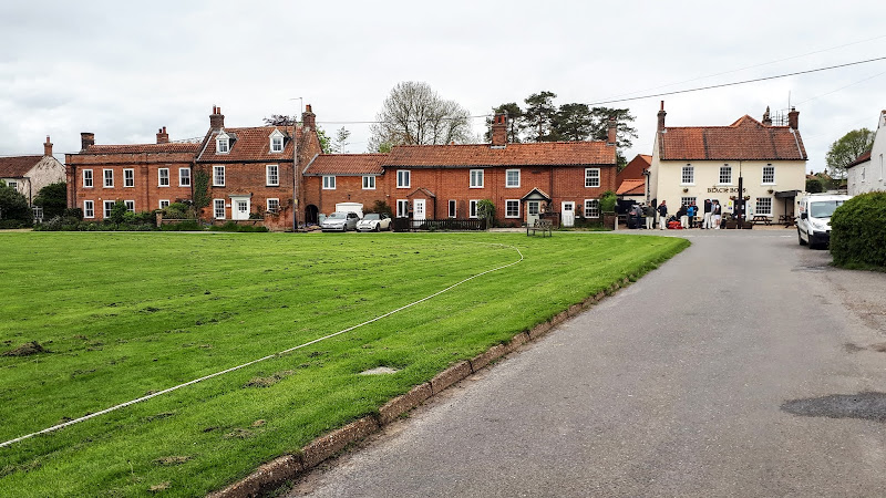
Laxfield Circular Walk"
A walk that encapsulates the Suffolk countryside around Laxfield
Latest walk summaries are basic information sheets for walks that have yet to be fully documented. These provide links to maps, public transport and walks stats, although detailed notes and features are not included.
|
Monday 7 February 2022
|
No comments |
![]()
A walk that encapsulates the Suffolk countryside around Laxfield
|
Sunday 6 February 2022
|
No comments |
![]()

A walk around the countryside of the Suffolk village of Peasenhall
|
|
No comments |
![]()

A great full days walk that takes in the ruins of Binham Priory
|
|
No comments |
![]()

Exploring the countryside between the East Suffolk villages of Leiston and Suffolk
|
|
No comments |
![]()

Exploring the countryside to the east of Halesworth
|
|
No comments |
![]()

A challenge walk along the Norfolk Coast between Hunstanton and Wells
|
|
No comments |
![]()

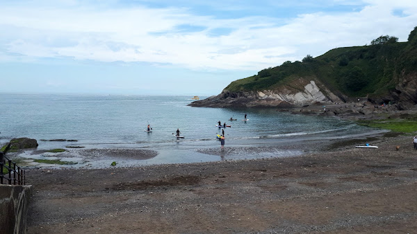
Walk along the South West Coast Path between Braunton and Croyde on the North Devon Coast
|
|
No comments |
![]()

Short walk round the headland known as Baggy Point
|
|
No comments |
![]()

Circular route from Ilfracombe along the old railway track to Lee Bay, returning along the South West Coast Path
|
Saturday 5 February 2022
|
No comments |
![]()

An amazing walk full of spectacular views along this rugged part of the North Devon coast
|
|
No comments |
![]()
A short but strenuous walk across Hillsborough Hill that separates Ilfracombe and Hele Bay.
|
Wednesday 12 January 2022
|
No comments |
![]()
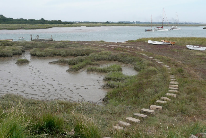
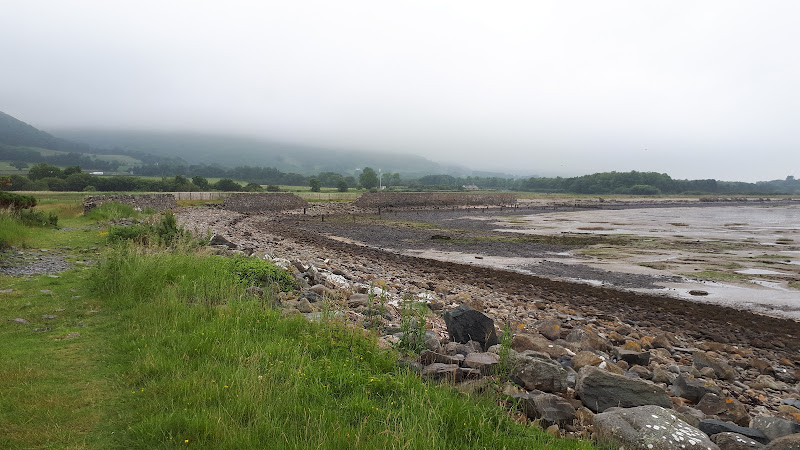
A 10 mile along the Essex Coast from Great Oakley to Walton-on-the-Naze
The walk follows the edge of the marshes in front of Skipper Island and Horsey Island and the Naze with little views of the open sea. The route is predominantly defence banks that border the creeks and springs that meander through the marshland. There is plenty to see from the wild life to the decaying hulls of wrecked boats that sit disregarded on the mud banks.
|
Thursday 6 January 2022
|
No comments |
![]()

A 15 mile circular walk along the Sandlings footpath between Dunwich and Southwold, with an option of returning either via the beach or the Suffolk Coast Path through Dingle Marshes
This is the final stage of the Sandlings Walk from Ipswich to Southwold. Starting at Dunwich, it takes the trails through Dunwich Forest and heads over Walberswick Heath to Southwold. The woods are full of mushrooms and nuts and berries this time of year... and hops! This is a lovely walk through the woods and well worth the effort. To make the route circular, the return is either via Dingle Marshes, or the Suffolk Coast Path or if the tide is out then its an easy walk along the beach.
|
|
No comments |
![]()

A 13 mile Suffolk circular walk connecting Dunwich and Walberswick
This walk encapsulates coast, forest and marsh presenting a myriad of landscapes. Making use of both the Sandlings and Suffolk Coast Path, it is a simple and easily navigated wander to fill a days exploration
|
Wednesday 15 December 2021
|
No comments |
![]()
A 7 mile walk around coastal North Devon from Hele Bay to Berrynarbor
This walk takes inland footpaths and tracks to navigate from the village of Hele Bay through to Berrynarbor, which, with its whitewashed stone walls takes on the guise of a Mediterranean village. The village plays host to numerous flower pot men in comical poses which makes an intriguing spectacle as one wanders through the streets. Return is along the South West Coast Path
|
Monday 13 December 2021
|
No comments |
![]()
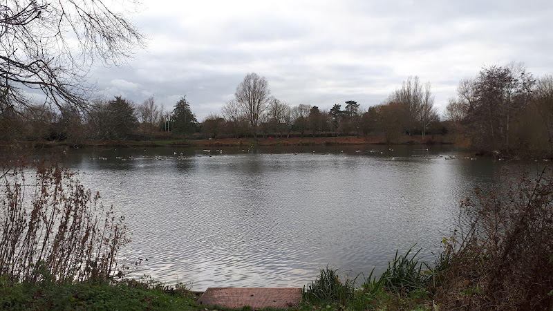
A simple circular walk around the Needham Market Lakes
A popular destination for many local people with plenty of well defined footpaths around the lakes and woodland. This walk includes an extension to the Alder Carr Farm tea shop for refreshments
|
Sunday 12 December 2021
|
No comments |
![]()
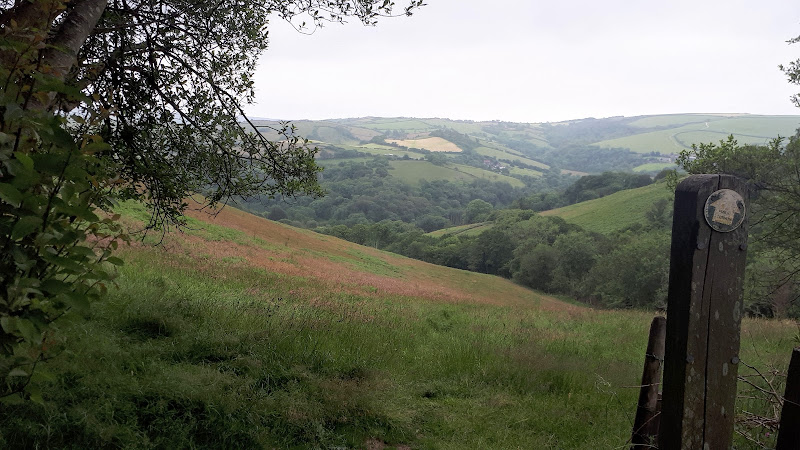
A 17 mile circular walk through the countryside of North Norfolk linking East Runton and Aldborough
Aldborough is the quintessential English village with a pub facing the large village green where the sound of willow on leather can be heard from the afternoon games of cricket that are frequently staged during lazy summer afternoons. You cannot get a more stereotypically English village than Aldborough.
|
Tuesday 22 June 2021
|
No comments |
![]()
An unashamed 10 mile walk along the North Wales coastline between Bangor to Llanfairfechan
The route starts inland to negotiate around the private grounds of Penrhyn Park which is a substantial excursion away from the coast. Despite this the walking is easy going and interesting and once alongside the beach provides some less frequented coastline.
|
Tuesday 4 May 2021
|
No comments |
![]()
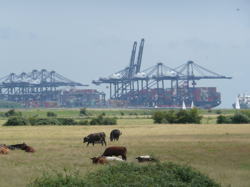
A 14 mile walk along the banks of the River Orwell in Suffolk between Ipswich and Shotley Gate
The Stour and Orwell path is an extension to the southern end of the Suffolk Coast Path and follows the coast and heaths along the estuaries of the Orwell and the Stour rivers. This particular walk focuses on the section between Ipswich and Shotley Gate following the river Orwell along the Shotley peninsular.
|
Saturday 1 May 2021
|
No comments |
![]()
Walking the original route to Norfolk's Paston Way
The Paston Way is a long distance trail around north east Norfolk that takes its names from the eminent Paston family who lived in the area during the 15th century, originating from the village of Paston. Although the route of the trail has been altered in more recent years in order to incorporate additional villages and churches in the area, originally it was a sub-20 mile trail with branches to outlying villages and churches. The original route can still be accessed and is a great way to spend a days walking between Norfolk's North Walsham and Cromer.
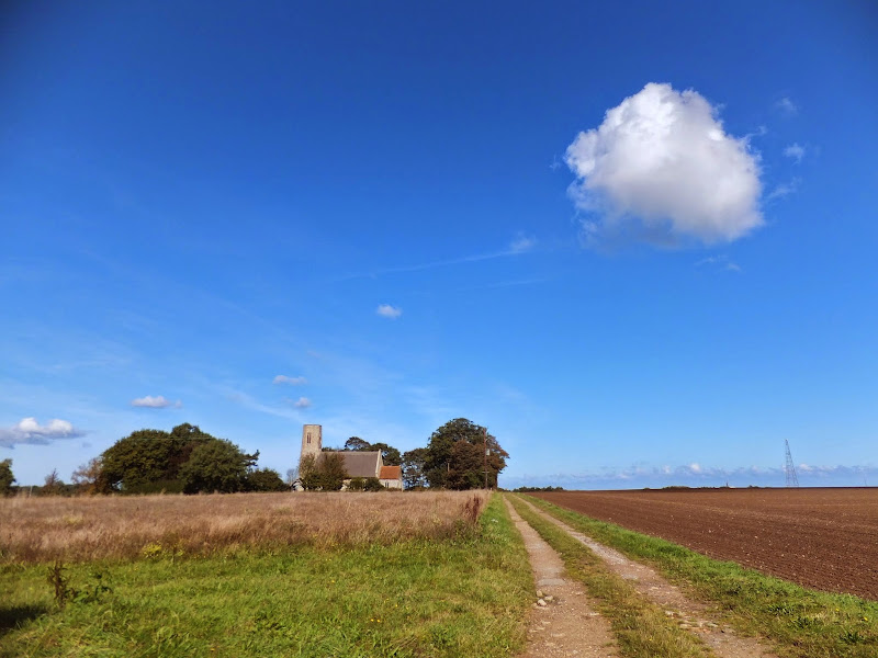
A 10 mile walk following the southern side of the parish boundary of Leiston in Suffolk This walk follows the route of a 17th century peramb...


