Suffolk Coast Path Challenge Walk Part 1
|
Tuesday 8 February 2022
|
No comments |
![]()
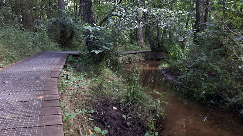
Suffolk Coast Path Challenge Walk Part 1
A 2 day challenge walk to complete the Suffolk Coast Path
|
Tuesday 8 February 2022
|
No comments |
![]()
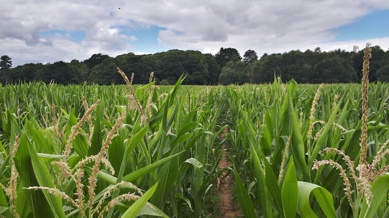
A 2 day challenge walk to complete the Suffolk Coast Path
|
Friday 14 May 2021
|
No comments |
![]()
A day walk along the Essex Way
A fine piece of walking along the Essex Way to provide some glorious views of the Stour estuary before turning inland to avoid Harwich and Dovercourt. Estuary views, marsh, woodland and open fields make for a varied scene throughout the walk.
|
Saturday 8 May 2021
|
No comments |
![]()
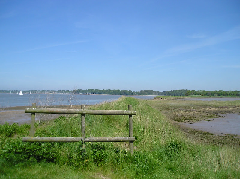
The England Coast Path section along the Essex coast between Mistley to Harwich
The proposed route of the England Coast Path between Mistley and Harwich. This takes in parts of the Essex Way. It should be noted that this route is still in the process of determination by Natural England
|
Tuesday 4 May 2021
|
No comments |
![]()
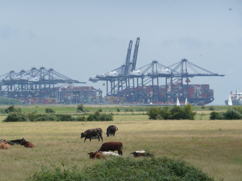
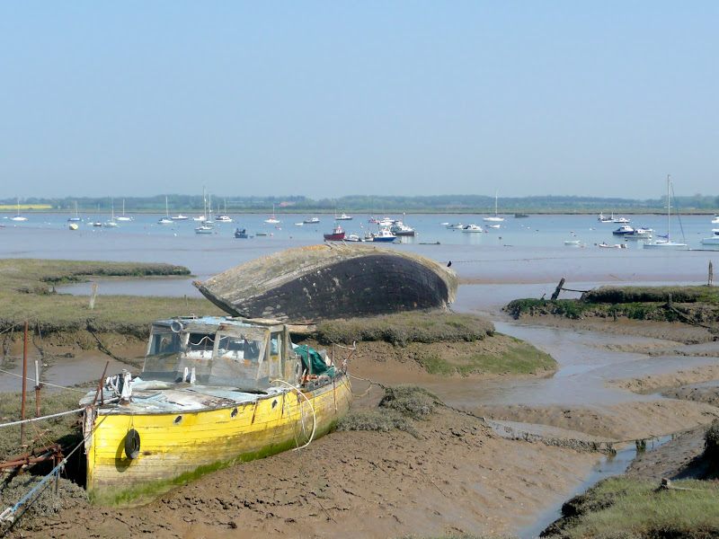
A 14 mile walk along the banks of the River Orwell in Suffolk between Ipswich and Shotley Gate
The Stour and Orwell path is an extension to the southern end of the Suffolk Coast Path and follows the coast and heaths along the estuaries of the Orwell and the Stour rivers. This particular walk focuses on the section between Ipswich and Shotley Gate following the river Orwell along the Shotley peninsular.
|
Saturday 27 March 2021
|
No comments |
![]()
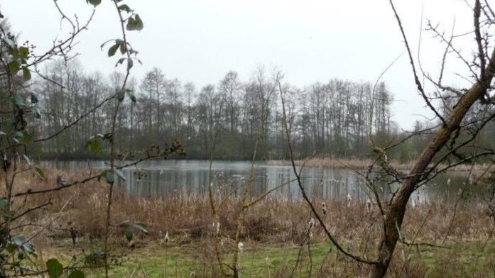
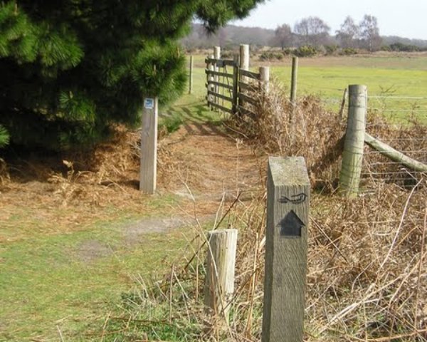
Short circular walk following the Mill Stream through Foxhall, Ipswich
One branch of The Sandlings Path that leads into Ipswich, follows a route across Foxhall Heath. This small walk uses the path as the basis of a circular walk through this natural woodland location.
|
Friday 26 March 2021
|
No comments |
![]()
Short circular walk around heaths and woodlands of Foxhall, Ipswich
A pleasant stroll around the heaths and woodlands around Foxhall, to the east of Ipswich. The walk is short but nonetheless a pleasant way to while a way an hour or two. Natural woodland, babbling stream and if you look very carefully you may even see what remains of Foxhalls All Saints Church
|
Sunday 9 February 2020
|
No comments |
![]()

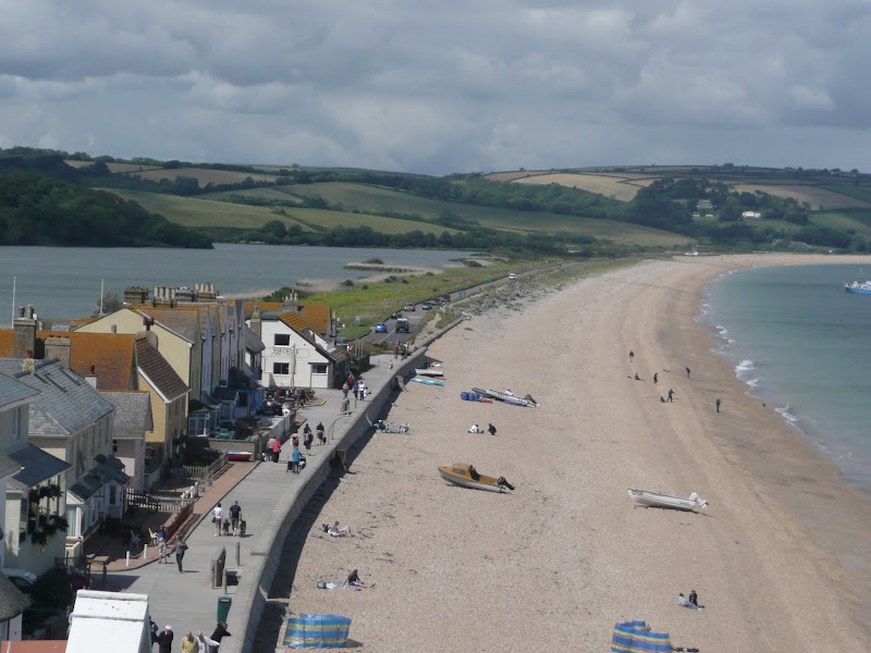
An overview of the Suffolk Coast Path, a 60 mile long distance path following the coast of Suffolk
A 60 mile long distance footpath from Felixstowe to Lowestoft in easy stages through some of the characteristic landscapes of the Suffolk Coast and Heaths Area of Outstanding Natural Beauty. The path also includes the Orford Loop which provides access through to Orford and the Butley Ferry. Alternative beach walks, providing the tide is right, can be undertaken throughout.
|
Wednesday 15 January 2020
|
1 comment |
![]()
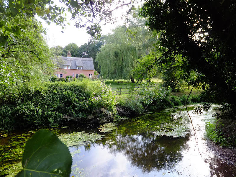
A 17 mile walk along the banks of the Orwell River in Suffolk starting at Felixstowe and ending in the centre of Ipswich
The Stour and Orwell path is an extension to the southern end of the Suffolk Coast Path and follows the coast along the estuaries of the Orwell and the Stour. The start of the walk is characterised by the earthen river defences along which the footpath navigates. From Levington Creek an alternative route is used to pay a visit to the 13th century Ship Inn before proceeding through Broke Hall Woods to rejoin the official route through to Ipswich.
|
Thursday 19 December 2019
|
No comments |
![]()

A beach walk along the Norfolk Coast between Mundesley and Cromer including a clifftop stroll from Cromer to Overstrand.
This section of the Norfolk Coast can only be walked when the tide allows as high tide reaches the foot of the cliffs and is impassable at Overstrand. There is frequent erosion all along the route so the scenery changes from year to year. The beach is predominantly sand with numerous groynes that present frequent obstacles to get past - sometimes decaying steps assist getting over the groynes and sometimes, at low tide or with boots and socks off, it is possible to get around the end of some of the groynes. Mostly, it involves clambering as best as you can over these eroded, seaweed covered, mussel encrusted defences but that is half the fun of it! Although there is a cliff top path from Cromer to Overstrand, which has some outstanding views, beyond this there is no official right of way and a full circular walk would involve heading inland, using the Paston Way. However, a frequent bus service links Overstrand and Mundesley to make a good and easy days coast walking.
|
Tuesday 10 December 2019
|
No comments |
![]()
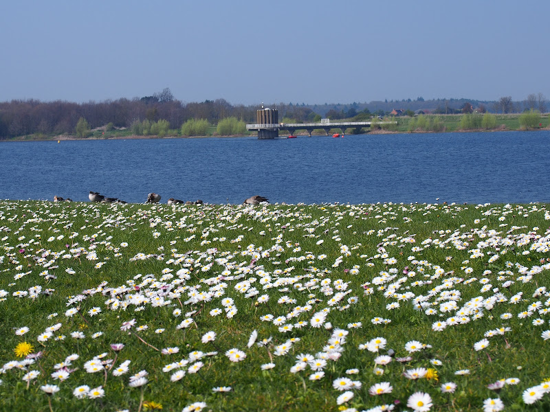
An 8 mile walk around Suffolk's Alton Water Reservoir
Located on the Shotley peninsular, the Alton Water Reservoir provides an easy walk around its water. A self contained circular route that needs little in the way of maps. Just keep the water on your left and keep walking! The mixed variety of landscapes of open meadow, woods and even the hills on the northern side of the reservoir provide a constant changing scenery throughout the walk.
|
Monday 21 January 2019
|
1 comment |
![]()
A 13 mile walk along the River Deben in Suffolk, starting at Felixstowe and ending in Martlesham
The lovely walk along the Deben estuary. Although parts are inaccessible due to breaches of the flood banks, the mix of riverside paths, country lanes and footpaths provides an ideal mix of landscapes to keep any walker fascinated. The May bush pub offers a perfect place to take a rest and refreshment, its riverside location unbeatable.
|
Friday 18 January 2019
|
No comments |
![]()
A 14 mile walk between Saxmundham and Darsham along the East Suffolk Line Walk.
It is Yoxford that gives us the name of this walk which is part of the East Suffolk Line Walks and this specific ramble extends the line walk to return to Leiston where a regular bus service connects the two ends. Yoxford sits on the banks of the River Yox surrounded by three country house parks; Sibton Park that contains large well stocked fishing lake; Grove Park situated in the village; and Rookery Park on the Leiston road. This has earned Yoxford the name of the 'Garden of Suffolk'. The whole route of this walk is a pleasant amble through the rural fields of Suffolk with a return journey through the pretty country lanes following the Minsmere river through to Middleton, Theberton and finally Leiston.
|
Saturday 29 December 2018
|
No comments |
![]()

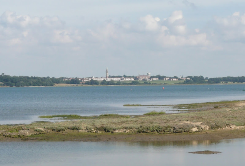
A 15 mile river side walk along the Deben Estuary in Suffolk between the villages of Melton and Bawdsey
This walk follows river side footpaths with spectacular views across the estuary. Unfortunately at Ramsholt there is no public access and one needs to divert through to the village of Alderton with a road walk for the last few miles to Bawdsey. A ferry crossing an a short walk into Felixstowe provides public transport access back to Melton
|
|
No comments |
![]()
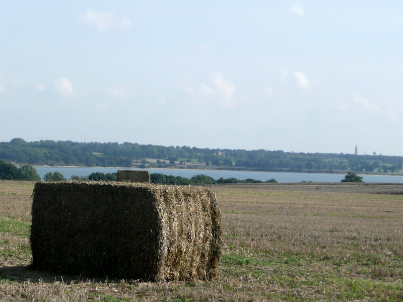
A 13 mile walk following Suffolk's River Gipping between Needham Market and Ipswich
A riverside walk tracing the route of the River Gipping as it heads through Suffolk to join the tidal waters of the Orwell at Ipswich. A gentle ambling route that twists and turns through the countryside which presents a perfect summers walk.
|
Thursday 20 December 2018
|
No comments |
![]()
A 4.5 mile walk across heathland from Martlesham to Rushmere Heath on the eastern fringes of Ipswich
Like most modern towns, Ipswich is suffering from a seemingly endless amount of urban sprawl that envelops the traditional villages that once surrounded it. However, this walk follows heathland that is hidden behind the housing estates all the way from Martlesham through to Rushmere Heath and Ipswich Hospital
|
|
No comments |
![]()
A 12.5 mile walk along the South West Coast Path between Salcombe and Torcross
This walk begins with taking the ferry across the estuary from Salcombe to Portlemouth. The going at times is strenuous, navigating along the craggy cliff face through to Prawle Point, the most southerly point in Devon. Beyond there are some low lying pastures that is a real pleasure to wander through. The final stage negotiates the craggy cliff around Start Point before slowly descending the cliffs along Start Bay, passing the hamlets of Hallsands and Beesands and finally arriving at Torcross beach.
|
Monday 17 December 2018
|
No comments |
![]()
An overview of the Sandlings Walk, a 55 mile long distance path through the forests and heaths of East Suffolk
The Sandlings is a 55 mile walk starting at Rushmere Heath on the eastern side of Ipswich with Southwold, passing through the remaining fragments of East Suffolks Sandling Heaths. The trail leads through Rendlesham, Tunstall and Dunwich forests and also includes riverside walks at Woodbridge and heathland walks across Rushmere Heath, Sutton Heath, Thorpeness Common and Dunwich Heath..
|
Saturday 15 December 2018
|
No comments |
![]()
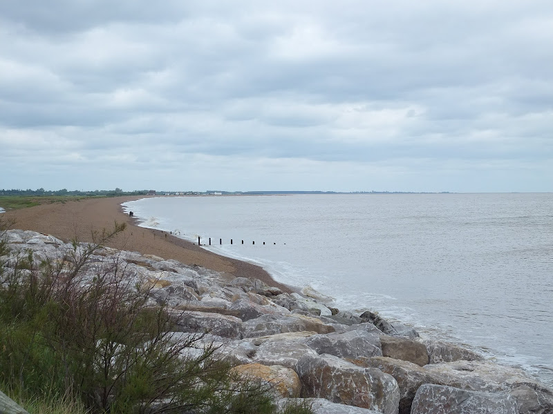
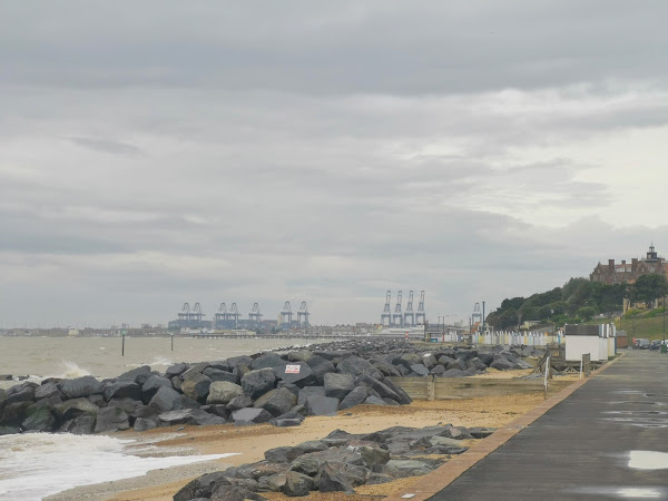
A 20 mile walk along the Suffolk Coast Path between Snape and Felixstowe
This is the most remote section of the Suffolk Coast Path and follows the Butley River down to Shingle Street and then continues along the coast to the ferry at Bawdsey. There is an eerie sense of foreboding when walking this section. The solitude. The windswept landscape. The distant silhouettes of the Orfordness Pagodas. The lonely river. One can walk virtually the entire distance without seeing a soul and the only company is the decaying remains of WWII defences and the looming martello towers from Napoleonic times.
|
Tuesday 4 December 2018
|
No comments |
![]()
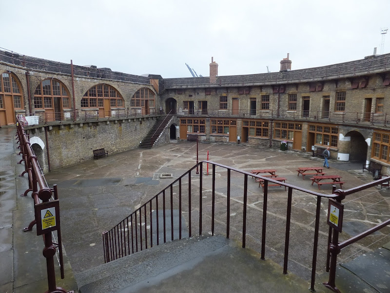
A 10 mile walk from Trimley to Languard Fort via Felixstowe Ferry
This walk navigates from the village of Trimley down to Kings Fleet and along the banks of the River Deben to Felixstowe Ferry, the setting of an old Black Shuck tale from many years ago which is a feature to this walk. A coastal walk follows, along the seafront of Felixstowe through to the where the River Orwell meets the sea, a strategic point of defence against attacking enemies attempting to sail up the estuary. Key to that defence is Languard Fort which has stood here for many centuries and has played key parts in the world wars of the 20th centuries. A fascinating place to visit with a certain eeriness within its confines.
|
Wednesday 21 November 2018
|
No comments |
![]()
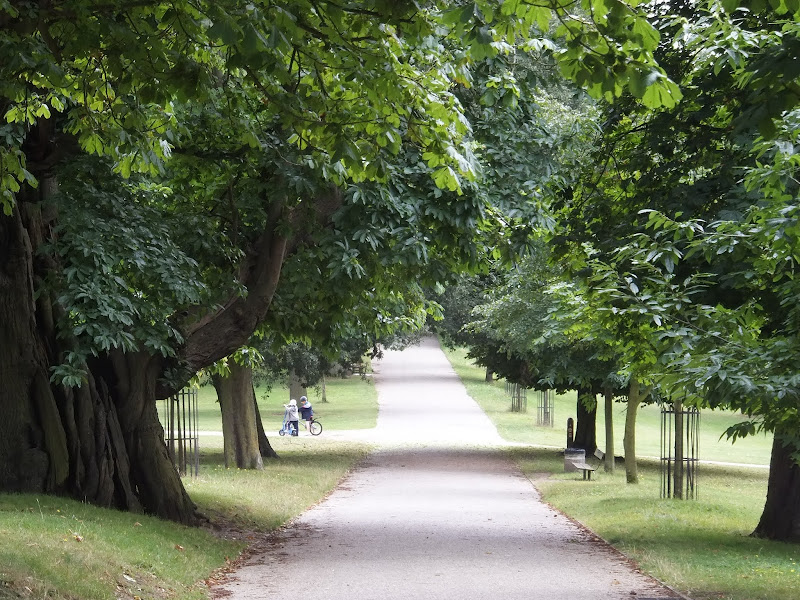
A 12 mile walk between Woodbridge and Ipswich incorporating sections from the Fonnereau Way, the Sandlings and the Fynn Valley Way
This walk links the railway stations of Woodbridge, Westerfield and Ipswich with scenic views along the estuary at Woodbridge and the Fynn Valley before entering Ipswich from the west through the historic parkland known as Christchurch park which dates from the 12th century which includes many historic features and a mansion that is open to the public.
A 10 mile walk following the southern side of the parish boundary of Leiston in Suffolk This walk follows the route of a 17th century peramb...


