Route details, maps, pubs, features, local history and folklore for a wide variety of walks focusing primarily on Norfolk and Suffolk

Walks
Showing posts sorted by relevance for query >. Sort by date Show all posts

Monday 17 December 2018

The Sandlings Walk

The Sandlings Waymarker

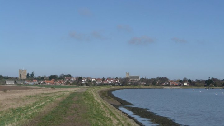
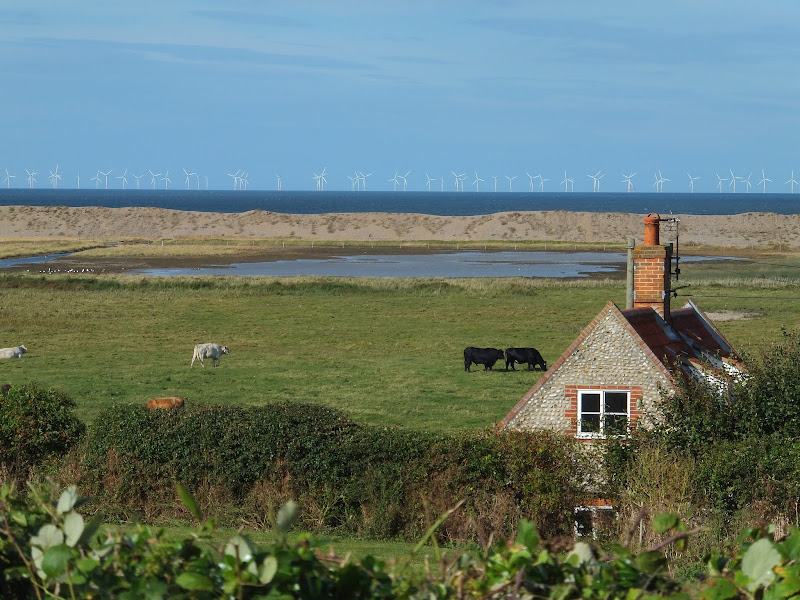
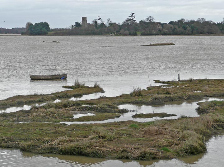
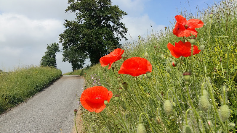
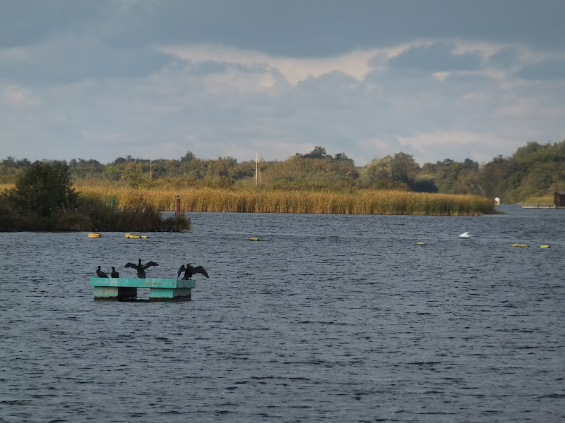
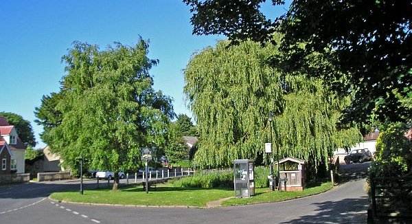
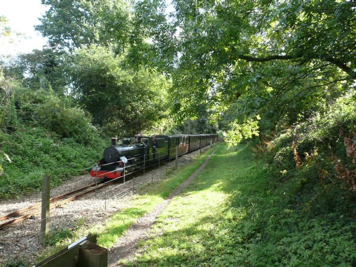
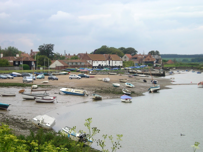
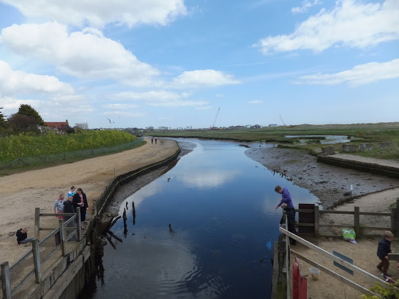
An overview of the Sandlings Walk, a 55 mile long distance path through the forests and heaths of East Suffolk

The Sandlings is a 55 mile walk starting at Rushmere Heath on the eastern side of Ipswich with Southwold, passing through the remaining fragments of East Suffolks Sandling Heaths. The trail leads through Rendlesham, Tunstall and Dunwich forests and also includes riverside walks at Woodbridge and heathland walks across Rushmere Heath, Sutton Heath, Thorpeness Common and Dunwich Heath..

Sunday 22 September 2019

In Search of Sizewell Chapel

Broom Covert

A 10 mile walk following the southern side of the parish boundary of Leiston in Suffolk

This walk follows the route of a 17th century perambulation around the southern side of the Leiston Parish boundary. The walk uses the ancient track down to Sizewell and continues down to Thorpe before turning inland to follow the River Hundred through to Cold Fair Green. The details are contained in two articles, this being the first, focusing on the medieval history of Sizewell.

Wednesday 5 December 2018

The Orford Loop, Tales of Castles and Mermen

A 16 mile walk around the Orford Loop section of the Suffolk Coast Path

The main Suffolk Coast Path cuts through Tunstall Forest from Iken Cliff to Chillesford. However, more recently, a path has been added which allows access to Orford by following the Alde estuary. This then cuts back across Gedgrave marshes and Sudbourne Hall to return to the main path at Chillesford.

Saturday 17 July 2010

The Paston Way


The Paston Way is a 20 miles Norfolk footpath linking North Walsham and Cromer. The path takes its name from the Paston Family who, during the Medieval and Tudor periods, were the dominant and wealthy landowners in which much of the trail passes. The Paston Family in turn had taken their name after the north eastern coastal village of Paston. The route can be walked within a day and there is ample public transport connecting start and end of the route. The first time I walked this route I was so impressed that I walked it again the next year. It encompasses both coutryside and seaside and Cromer is a fitting end to the walk with plenty of refreshment houses to recuperate in.

Saturday 26 January 2019

An Extended Walk around the Rendlesham UFO Trail

A 12 mile circular walk starting at Eyke and incorporating the UFO Trail in Suffolk's Rendlesham Forest

The Rendlesham UFO trail is a waymarked 3 mile trail around the eastern end of Rendlesham Forest that navigates around the key areas that were involved in the Rendlesham Forest Incident of 1980 in which both civilian and military personnel witnessed unexplained craft land within the forest. Although this can be walked by parking up at the visitor car-park in the forest, a longer alternative is to take the footpaths from Eyke, and make a day of this most wonderful and intriguing part of Suffolk.

Thursday 24 February 2022

The Peddars Way - Watton to Castle Acre

Watton to Castle Acre

A long and straight trail across lanes and tracks from Watton to Castle Acre.

Once at Little Cressingham the Peddars Way draws a long straight line through across the landscape. Gentle undulations provide little in the way of changing scenery and The Blue Lion at North Pickenham provides a very welcome half way point to rejuvenate ones energies and rest ones weary legs and feet from the hard tracks and metalled lanes. Castle Acre is a novel little village with its castle and priory ruins, both of which are well worth exploring.

Sunday 16 December 2018

Alternative Coast Path Route from Sheringham to Cley

View from the hillside between Salthouse and Cley

A 10 mile alternative route for the North Norfolk Coast Path between Sheringham and Cley

This walk takes diversions from the official route of the North Norfolk Coast Path via the North Norfolk Railway and the Weybourne Priory Ruins. A further alternative is then used to navigate away from the strenuous shingle walk along the coast to a more gentle amble up to the village of Salthouse and across the hills to Cley. This provides a scenic and interesting alternative to the official route of the North Norfolk Coast Path and gives some spectacular views across the marshes from the hillside between Salthouse and Cley.

Wednesday 9 January 2019

In Search of the Mysteries and Legends of Iken and St Botolph

A 7 mile walk along the Alde estuary, following the Suffolk Coast Path from Snape to Iken

There are disputes as to whether Iken is the land of Icanho that St Botolph was granted by King Ethelmund to build his minster in the 7th century. If it was then there were marsh demons in these parts during those time and one can still feel the eeriness of the area with the mysterious Yarn Hill where Botolph reputedly drove away the ghosts and marsh demons in order to build his minster. It was eventually completed on the site of the historic church at Iken which still bears his name. The church is a fascinating place to visit - be sure to spend a little time here and see St Botolphs stone cross which was unearthed in 1977 and is on display within the church.

Sunday 29 July 2018

Sweffling Circular Walk Summary

Salt marsh

Short circular walk through the Suffolk countryside around the village of Sweffling

A walk around some outstanding Suffolk countryside following the Alde valley south of Sweffling, starting and ending at the Sweffling White Horse pub. There is history too! As well as the many windmills that once sat on the ridge above the valley, the area also boasts a connection with the legends of St Edmund. A tale related by a 14th century manuscript tells of how Edmund defeated his enemies at a place known as Dernford. Although there is no evidence of exactly where this was, some attest that the site was south of Sweffling where Dernford Hall is located.

If you view the Sweffling village sign, on the upright is a heart pierced by a sword, which I am told is the representation of Edmunds victory in the battle.

Tuesday 24 December 2019

Sheringham to Cromer Circular Walk

An easy 8 mile Norfolk coastal walk along beach and clifftops between Sheringham and Cromer

The Norfolk Coast Path was rerouted in 2014 as part of its inclusion to the England Coast Path. It now navigate alogn the cliff tops for most of the distance along what used to be permissive paths that have now become public. This walk uses both coast path and beach to create a delightful walk along this awe-inspiring section of the North Norfolk coast. Do check tide times and make sure the beach walk is undertaken 2 hours either side of low tide.

Sunday 23 September 2018

Somerset Coast Path - Brean to Bridgwater

Salt marsh

A walk along the Somerset Coast from Brean to Bridgwater

This walk starts by taking one of the many paths from the coast road through Brean to the broad sandy beaches that dominate this area. In this instance it uses the path opposite the Unity Holiday Camp, the name being taken from the former farm whose land it sits upon.

The England Coast path uses the beach all the way through to Burnham-on-Sea passing the iconic low lighthouse, a wooden structure that sits on stilts on the beach at the north end of Burnham. It is just past this landmark that one may find the path cut off by the tide. Don't attempt to go through to the sea wall ahead as there is no public access. Instead, take the path through the dunes and follow the track indicated on this route.

From Burnham the path follows the estuary of the River Parrett which rises some 37 miles away at Chedington in Dorset and is tidal for the majority of its course to the sea. All along this coast are the reminders of an industrial past. Burnham pier, which is no more than a stump these day, once was the railway terminus where both freight and passengers could be loaded onto ships. Burnham station was just across the road and what is now Marine Drive was the route of the od railway line from Highbridge. Reminders still adorn the roadside. The station sign. The old signalbox. A semaphore signal.

Soon after, as the path negotiates the marshes around the River Brue there are more reminders of the railway. This area was the Highbridge Wharf and used to house the Somerset and Dorset Joint Railway locomotive works. The works closed in 1930 and the Wharf is now no more than moorings for pleasure craft.

From this point there is a lengthy section following the winding estuary river where little is seen other than the wide open landscape. Make sure you have plenty of water and food. The grass river banks provide plenty of opportunity for a picnic.

Bridgwater town cannot be seen until one is in the town, its presence maske by the industrial outskirts. Dunball presents the first encounter of urbanisation where the path enters the old Dunball Wharf area and more reminders of its railway history with lines still sitting in the concrete ground. This was once a busy area and part of the Port of Bridgwater. As one will notice during this walk, the river is devoid of craft in the modern day and the docks and the railways are all just another chapter in history.

Saturday 7 December 2019

South West Coast Path - Perranporth to Newquay

Tidal bridge across The Gannel Estuary

An 11 mile walk along the South West Coast Path between Perranporth and Newquay

By South West Coast Path standards this is an easy walk along the low level cliffs with no particularly difficult climbs with the usual spectacular coastal views. The main obstacle on this section is crossing the River Gannel estuary. There are three footbridges but these are all dependant upon the state of the tide so tide tables need to be consulted and the walk planned appropriately.

Monday 17 December 2018

Tales of Sundials, Witchcraft and Ghostly happenings in Saxmundham

A 2 mile circular walk around the Suffolk town of Saxmundham using the Town Trail

A simple tour of Saxmundham that can be added onto the East Suffolk Line Walks or to while away a couple of hours on a lazy afternoon, including searching out the unique tombstone sundial in St Johns churchyard, and finding the haunted Monks Cottages.

Tuesday 8 January 2019

South West Coast Path - Lands End to Mousehole

Enys Dodnan

An arduous but rewarding 13 mile walk along the South West Coast Path between Lands End and Mousehole

This is an arduous section of the coast path but is nonetheless worthwhile for its spectacular scenery and rugged landscape. There is little in the way of civilisation throughout the entire route but the views and amazing with the natural wonders of the Longships rocks, Gwennap Head, Logans Rock and so much more.

Saturday 29 December 2018

A Norfolk Broads Walk from Neatishead to Horning

Cormorants on Barton Broad

An easy 6 mile walk following the River Ant down to the Bure at Horning.

The Norfolk Broads are full of ghostly stories and this walk brings a few to life. From the spooky lights of Hoards Hole, encounters with Black Shuck and the curious transformation of Horning's riverside houses to Saxon days when it was just a grassy bank, there is plenty to reflect upon as one wanders the footpaths and quiet country lanes that make up this route. And maybe, who may tell, given the right conditions, you may even glimpse a spectral view from another dimension.

Sunday 30 December 2018

The Icknield Way - Linton to Herringswell

A 26 mile walk along the Icknield Way between Linton and Herringswell

This section of the Icknield Way passes through some idyllic and typical English landscapes where village greens, thatched cottages and traditional country pubs nestle in with babbling brooks and the gently swaying fields of barley that cover the rolling hills. It is a sheer pleasure to wander through. The only issue with this walk is the lack of accommodation unless one makes diversions away from the trail.

Tuesday 17 December 2019

A Walk along the Bure Valley Path

A 9 mile walk along Norfolk's Bure Valley Path between Aylsham and Wroxham

The Bure Valley Path follows the former Great Eastern Railway trackbed alongside the Bure Valley Narrow Gauge Railway. There are outstanding views of the river Bure and stops on route at Brampton, Buxton and Coltishall. Being a former trackbed gives a well drained path so the route is suitable for all weathers.

Tuesday 8 January 2019

The Ridgeway - Ivinghoe Beacon to Great Kimble

An 17 mile walk along the Ridgeway between Ivinghoe and Great Kimble

An exhilarating walk at the start of the Ridgeway going in an east to west direction. Some outstanding scenery from the Chiltern hills and a few challenging climbs but well worth the effort. The walk takes in the grounds around Chequers, the Prime Ministers country residence, and theres a local tale of a ghostly lady at the Swan in Kimble and a story of when the Prime Minister turned up at Kimble's Bernard Arms.

Tuesday 24 December 2019

Norfolk Coast Path - Wells-next-the-Sea to Burnham Overy Staithe

Burnham Overy Staithe

A 7 mile walk following the North Norfolk Coast Path between Wells-next-the-Sea and Burnham Overy Staithe

This amble includes some magnificent beach walking along the sands in front of the Holkham National Nature Reserve. Acres upon acres of golden sand when the tide is out with big skies and thousands upon thousands of razor shells which are washed up on the high tide mark. The walk ends at Burnham Overy Staithe, the quiet hamlet which is said to be where Nelson learnt to row and sail.

Tuesday 1 January 2019

Leiston to Walberswick Circular Walk

Sole Bay

A 22 mile circular walk between Leiston and Walberswick incorporating sections of the Suffolk Coast Path and Sandlings Walk.

This walk uses the beach at low tide to get from Sizewell to Walberswick, returning through Dunwich forest. Walberswick is said to be the most haunted place in Britain though one would not think it from its relaxed and laid back character, famous for its crabbing pastimes.

Walk Summaries

Latest walk summaries are basic information sheets for walks that have yet to be fully documented. These provide links to maps, public transport and walks stats, although detailed notes and features are not included.

Latest Walk Summaries

Featured Walk

In Search of Sizewell Chapel

A 10 mile walk following the southern side of the parish boundary of Leiston in Suffolk This walk follows the route of a 17th century peramb...

What is GPX

All you need to know about GPX, electronic mapping and how to use modern apps and mobile devices as navigation devices

Popular Walks

Maps