Route details, maps, pubs, features, local history and folklore for a wide variety of walks focusing primarily on Norfolk and Suffolk

Walks
Showing posts sorted by relevance for query Cromer. Sort by date Show all posts

Tuesday 17 December 2019

A Walk along the Bure Valley Path

A 9 mile walk along Norfolk's Bure Valley Path between Aylsham and Wroxham

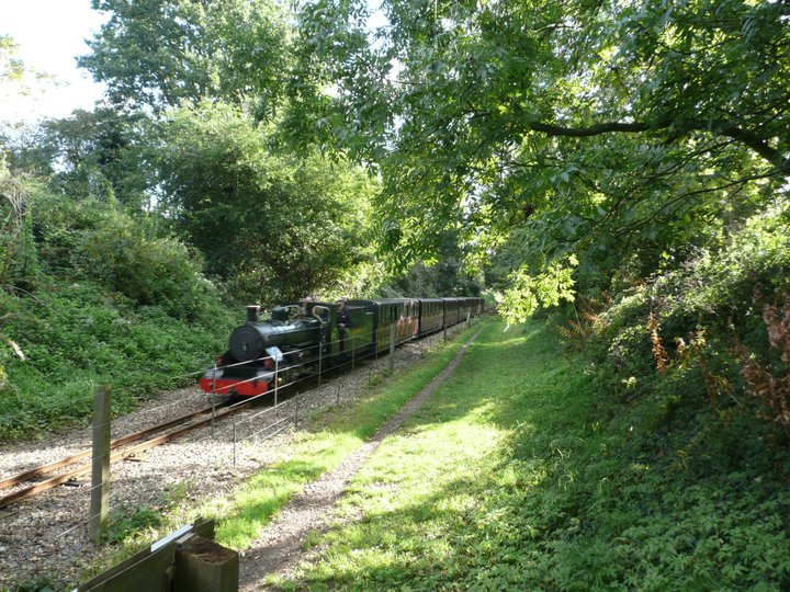
The Bure Valley Path follows the former Great Eastern Railway trackbed alongside the Bure Valley Narrow Gauge Railway. There are outstanding views of the river Bure and stops on route at Brampton, Buxton and Coltishall. Being a former trackbed gives a well drained path so the route is suitable for all weathers.

Saturday 4 August 2018

Weavers Way - Stalham to Aylsham Walk Summary

Salt marsh

A walk along the dismantled M&GN railway from Stalham to Aylsham

This walk is the Railway section of the Weavers Way, a 60 mile long distance trail through the eastern side of Norfolk. This section follows the former M&GN railway trackbed from Stalham to Aylsham and there is plenty of evidence of the former railway with the stations of Honing and Felmingham still retaining their platforms and some structures and many typical railway style bridges throughout the trail.

Originally named as the Great Yarmouth and Stalham Light Railway when the first section was constructed in 1876, it changed its name to the Yarmouth and North Norfolk Light Railway with the extension to North Walsham in 1878. In 1881, in conjunction with the Lynn and Fakenham Railway a link between Melton Constable and North Walsham via Aylsham was added together with the light railway being converted to a full standard gauge line.

The 20th century saw this railway amalgamated into the Midland and Great Northern Railway, before combining into the LNER grouping. Post war saw its merger into the nationalised British Rail.

The line lasted until 1959 when it was deemed to be loss making and, along with many of Norfolk's railways, it closed down for good. The former railway line has now become part of the Weavers Way long distance trail as well as a designated county wildlife site and the cutting close to Felmingham has become a butterfly nature reserve.

The former railway has to be left at North Walsham where the modern road uses its route through the town. This provides a half way point of this walk and enables the hiker to peruse North Walsham as well as provide plenty of places to rest and refresh oneself before continuing onto Aylsham. The Hop Inn is always a recommended place to visit for those who like their ale. This micro pub serves six ever changing ales along with simple snacks and is always a hub of activity with conversation being the main entertainment of its customers.

There is no direct public transport link between the two ends of this walk and one requires to either use Cromer or Norwich as a link. In this instance Sanders Buses offers the number 6 service from Cromer to Stalham and to return there is the 44 servcie from Aylsham to Cromer.
Saturday 1 May 2021

The Original Paston Way Route

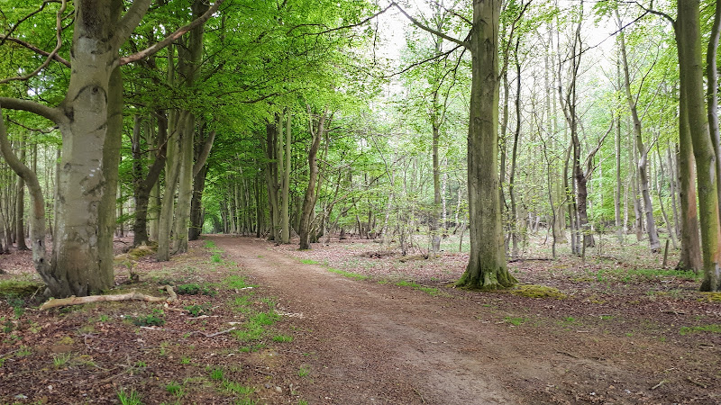
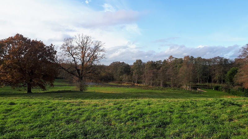
Norfolk countryside

Walking the original route to Norfolk's Paston Way

The Paston Way is a long distance trail around north east Norfolk that takes its names from the eminent Paston family who lived in the area during the 15th century, originating from the village of Paston. Although the route of the trail has been altered in more recent years in order to incorporate additional villages and churches in the area, originally it was a sub-20 mile trail with branches to outlying villages and churches. The original route can still be accessed and is a great way to spend a days walking between Norfolk's North Walsham and Cromer.

Friday 20 July 2012

North Norfolk Railway Beer Festival 2012

Beer Festival

The 11th North Norfolk Railway beer festival

Once again the North Norfolk Railway came up with another outstanding beer festival. Over 100 ales plus ciders were on offer in the perfect surroundings of a working steam railway together with live music. Carriages on platform 2 gave ample seating and cover for the few times when rain began to fall and a bbq in a wagon offered hotdogs and burgers. In my opinion the best beer festival around!

Saturday 29 December 2018

A Norfolk Broads Walk from Neatishead to Horning

Cormorants on Barton Broad

An easy 6 mile walk following the River Ant down to the Bure at Horning.

The Norfolk Broads are full of ghostly stories and this walk brings a few to life. From the spooky lights of Hoards Hole, encounters with Black Shuck and the curious transformation of Horning's riverside houses to Saxon days when it was just a grassy bank, there is plenty to reflect upon as one wanders the footpaths and quiet country lanes that make up this route. And maybe, who may tell, given the right conditions, you may even glimpse a spectral view from another dimension.

Thursday 13 December 2018

Southwold Circular Walk

An 5.5 mile circular walk around Southwold

This walk navigates from Southwold Harbour around the northern part of the Blyth estuary known as Buss Creek, returning via the seafront to the harbour. One cannot miss out on a wander around the pier to take in the amazing sights of the quirky The Under the Pier show, the creation of Tim Hunkin and typical British eccentricity at its best.

Sunday 31 May 2015

Dads Army Weekend 2015

Dont panic Mr Mainwaring

An easy 9 mile Norfolk coastal walk to visit the Dads Army weekend hosted on the North Norfolk Railway

The third episode of the sixth series of the popular British comedy series Dad's Army was titled 'The Royal Train' in which King George VI was due to pass through Walmington-on-Sea and the platoon were to form a guard of honour. The location chosen to film this episode was Weybourne station on the North Norfolk Railway and each year this is celebrated with a Dad's Army weekend where a group of enthusiasts from the Dads Army Museum in Thetford re-enact this memorable episode.

Sunday 5 January 2020

Wroxham to Norwich via Spixworth

View of the River Bure heading out of Wroxham

A 10 mile linear walk between Wroxham and Norwich

Walk linking the Bittern Railway Line stations of Wroxham and Norwich. The route cuts across to Spixworth using tracks and country lanes from where there is pedestrian access through to the centre of Norwich. Spixworth has an interesting history of folklore which is discussed in the features of this walk.

Thursday 30 August 2018

Runton and Incleborough Hill Walk Sumary

Salt marsh

Short circular walk over Incleborough Hill in North Norfolk

Incleborough Hill stands above the villages of East and West Runton on the North Norfolk Coast. At 260 feet in height and covered with low level gorse bushes it provides magnificent unobstructed views across the coast from Cromer to Sheringhamm and beyond. One cannot help but be impressed and in awe at the sight.

The walk is not arduous and apart from a short climb up steps it is achievable by most able bodied folk. The return is down a much gentler slope to West Runton and to the coast to follow the Norfolk Coast path back to East Runton.

Sunday 24 January 2021

Bittern Line Walk - North Walsham to Wroxham

North Walsham woods, site of the Battle of North Walsham

An 11 mile walk linking the Bittern Line stations of North Walsham and Wroxham

A rewarding days walk through the Norfolk countryside that links the railway stations of North Walsham and Wroxham. The route passes across an historic battleground, through woodland, encountering picturesque hamlets and village churches along the way. The end section uses the Bure Valley Railway path that follows the narrow gauge steam railway past Coltishall and down to Wroxham station.

Thursday 4 April 2019

The Poppy Line - Holt to Sheringham

Steam engine heading to Weybourne

A 6.5 mile walk following the Poppy Heritage Steam Railway Line between Holt and Sheringham

An easy ramble roughly following the Poppy Line from Holt to Sheringham. The varied landscape that this route navigated is heathland, woodland and coast with the ever present steam railway always in range either audibly or physically. A great way to see the engines in full steam with a return being hauled back on this iconic railway. The best place to watch the engines close up is the level crossing on Kelling Heath where the steam engines require a full head of steam to get their loads up the incline from Weybourne.

Wednesday 18 December 2019

Norfolk Coast Path - Burnham Overy Staithe to Brancaster

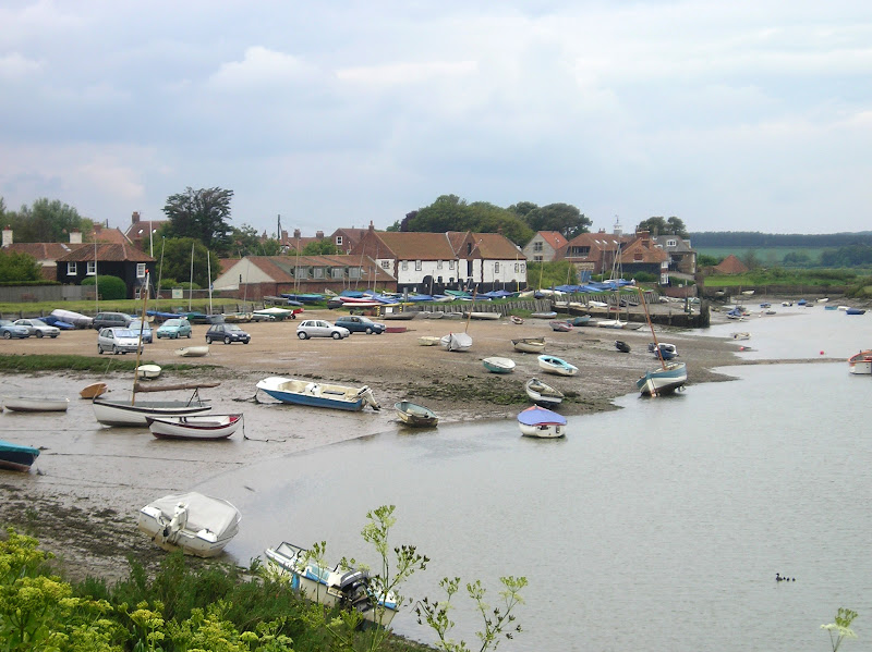
Brancaster Staithe Quay

A 6 mile walk following the North Norfolk Coast Path between Burnham Overy Staithe to Brancaster

Wide open areas of marshland provide an enticing setting for this easy walk. Sailing boats, marsh, a tidal pool and the site of a Roman fort provide plenty of interest, together with three pubs, what more could one ask for of an afternoons stroll.

Saturday 29 December 2018

Paston Way - North Walsham to Mundesley

Edingthorpe church

An 11 mile walk along Norfolk's Paston Way between North Walsham and Mundesley

The Paston Way is a veritable Trail around some of East Norfolk's medieval churches. This section includes the delights of North Walsham, Edingthorpe, Knapton, Paston and Bacton. Although all are impressive, it it the small church at Edingthorpe which must not be missed, a treasure to behold.

Saturday 26 January 2019

Norfolk Coast Path - Cley to Wells-next-the-Sea

Marshes near Blakeney

A 10 mile walk following the Norfolk Coast Path between Cley and Wells-next-the-Sea

An easy walk along the Norfolk Coast Path navigating out across the marshes to Blakeney then along the marsh perimeter to Wells. Blakeney is a worthy stopping point to explore Mariners Hill and the Guildhall and take in the legends of the Blakeney tunnels and the tragic story of the Blakeney Fiddler who is depicted on the village sign.

Wednesday 16 March 2022

Sunday 16 December 2018

Alternative Coast Path Route from Sheringham to Cley

View from the hillside between Salthouse and Cley

A 10 mile alternative route for the North Norfolk Coast Path between Sheringham and Cley

This walk takes diversions from the official route of the North Norfolk Coast Path via the North Norfolk Railway and the Weybourne Priory Ruins. A further alternative is then used to navigate away from the strenuous shingle walk along the coast to a more gentle amble up to the village of Salthouse and across the hills to Cley. This provides a scenic and interesting alternative to the official route of the North Norfolk Coast Path and gives some spectacular views across the marshes from the hillside between Salthouse and Cley.

Tuesday 24 December 2019

Norfolk Coast Path - Wells-next-the-Sea to Burnham Overy Staithe

Burnham Overy Staithe

A 7 mile walk following the North Norfolk Coast Path between Wells-next-the-Sea and Burnham Overy Staithe

This amble includes some magnificent beach walking along the sands in front of the Holkham National Nature Reserve. Acres upon acres of golden sand when the tide is out with big skies and thousands upon thousands of razor shells which are washed up on the high tide mark. The walk ends at Burnham Overy Staithe, the quiet hamlet which is said to be where Nelson learnt to row and sail.

Wednesday 18 December 2019

The Aftermath of the 2013 Storm Surge - Blakeney, Cley and Salthouse

Salthouse marshes

A 4 mile beach walk to witness the damage caused by the 2013 Storm Surge along the shingle bank between Cley and Salthouse

The December 2013 Storm Surge caused widespread flooding of the marshes and sea defences along the North Norfolk Coast, resulting in the closure of the Coast path between Blakeney and Cley. It is still possible to walk out to the beach from Cley village via the road where a walk along the shingle will astound those who have walked this section prior to the December storm. The shingle ridge has been levelled, with the excess cast across the marshes.

Thursday 24 February 2022

The Peddars Way - Knetishall Heath to Watton

Knetishall Heath to Watton

An easy trek across Breckland on the initial stages of the Peddars Way.

Being an old Roman road, the original Peddars Way is dead straight and there is little modern deviation from the original path all the way through to the North Norfolk Coast. This first stretch cuts through heath and Nature Reserves of Breckland using established broad farm tracks which present an easy going walk.

Tuesday 17 December 2019

A Walk to Brancaster Beach

Brancaster Beach

A 3 mile walk out to Brancaster Beach returning across the marsh to Titchwell

Although not included in the official Norfolk Coast Path route, this simple walk is a well worth excursion to witness the expanse of sand and dune as well as a petrified forest and an old wreck. Always be mindful of tide conditions and particularly do not attempt to get across to the wreck which lies across the Harbour channel.

Walk Summaries

Latest walk summaries are basic information sheets for walks that have yet to be fully documented. These provide links to maps, public transport and walks stats, although detailed notes and features are not included.

Latest Walk Summaries

Featured Walk

In Search of Sizewell Chapel

A 10 mile walk following the southern side of the parish boundary of Leiston in Suffolk This walk follows the route of a 17th century peramb...

What is GPX

All you need to know about GPX, electronic mapping and how to use modern apps and mobile devices as navigation devices

Popular Walks

Maps