A Hike along the Marriotts Way
Tuesday, 23 September 2025
|
No comments
|
![]()

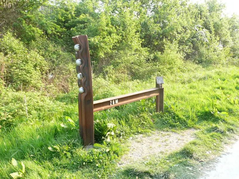
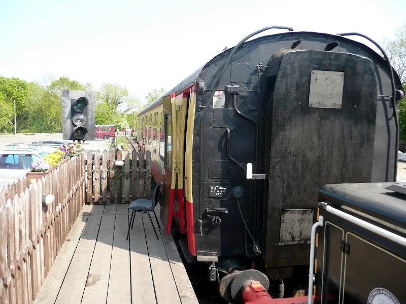
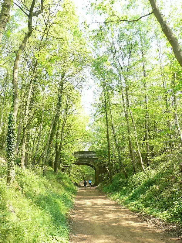
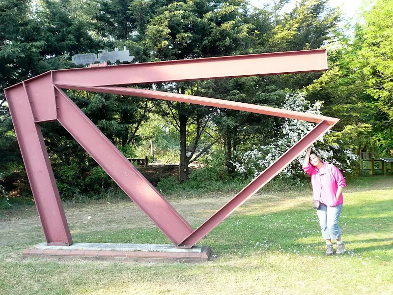
The Marriott's Way links Aylsham and Norwich following the former trackbed of the Midland and Great Northern Railway.
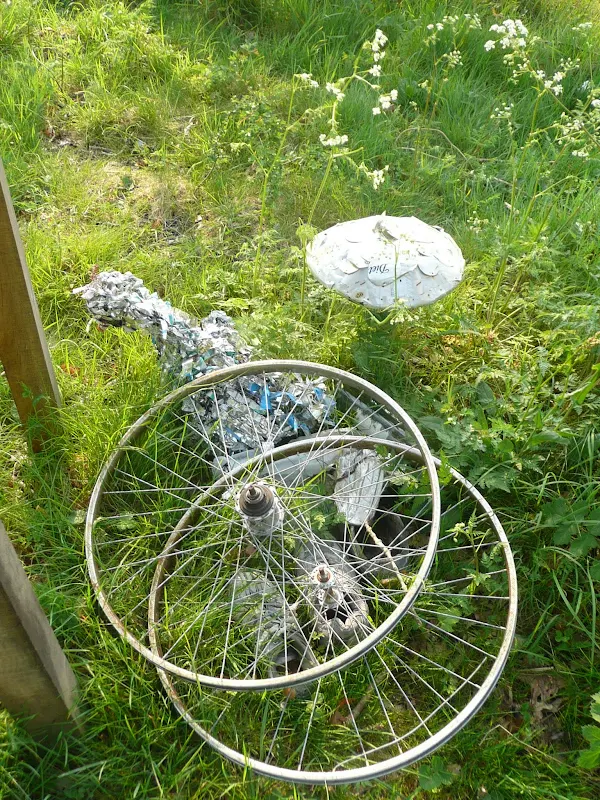
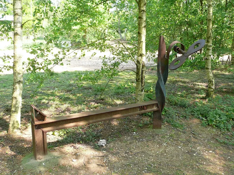
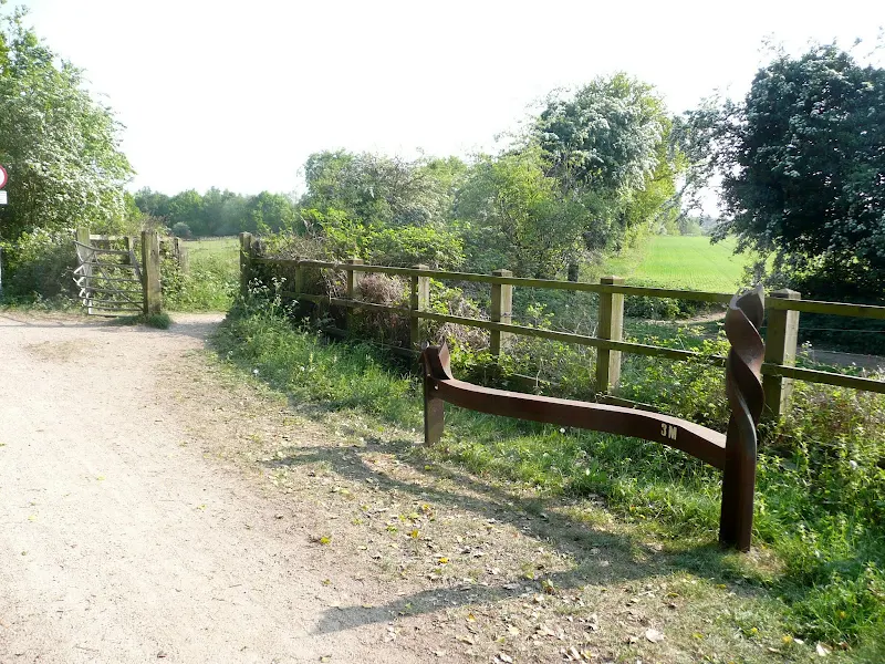
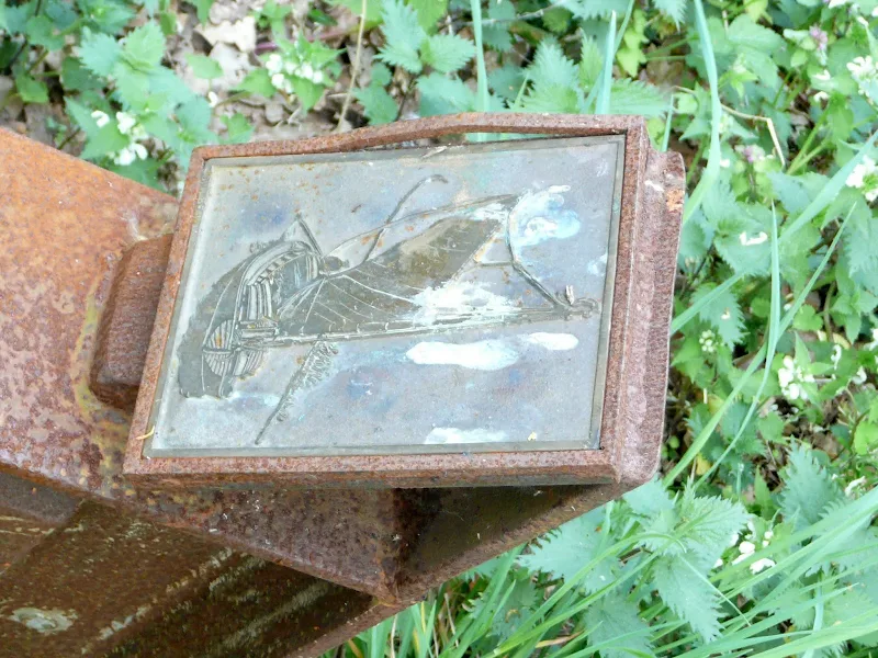
The Marriott's Way is a footpath, bridleway and cycle route, which follows the routes of two disused railway lines, and runs between the historic market town of Aylsham and the medieval city of Norwich. Along with the mileage markers which are crafted from old rails, complete with a metal rubbing plaque, there are numerous concrete sculptures, village markers, interactive sound boxes and benches which all provide interest and information along the route.

Walk Statistics

Maps
The following maps and services can assist in navigating this route. There are links to printed maps and links to downloadable GPX route data for importing into navigational software and apps.
- Ordnance Survey Explorer Map
- OS Explorer 238 - Dereham & Aylsham
- GPX Route File
Accommodation
Woodhill Park CampsiteView in OS Map | View in Google Map
- Website
- https://www.woodhill-park.com/
- Description
- Woodhill Park Campsite, Runton
Transport
Sanders Coaches - bus Service
- Service Details
- 44 - Linking Sheringham, Cromer, Aylsham and Norwich
- Timetable
- Sanders Coaches Website
Walk Notes
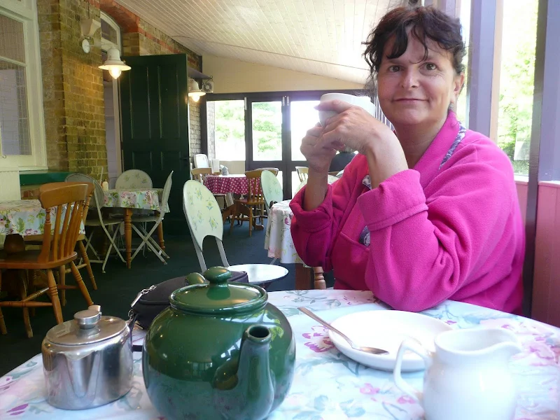
This is an easy walk to navigate, sticking pretty religiously to the former track bed of the M&GNR route from Aylsham to Norwich. One can complete the distance in a day provided one was fit and used to long distance walking. To cut it down a little, the Themelthorpe loop can be omitted by following the road that connects Reepham to Whitwell. This option was chosen on this occasion and provides the added advantage of a refreshment stop in Reepham.
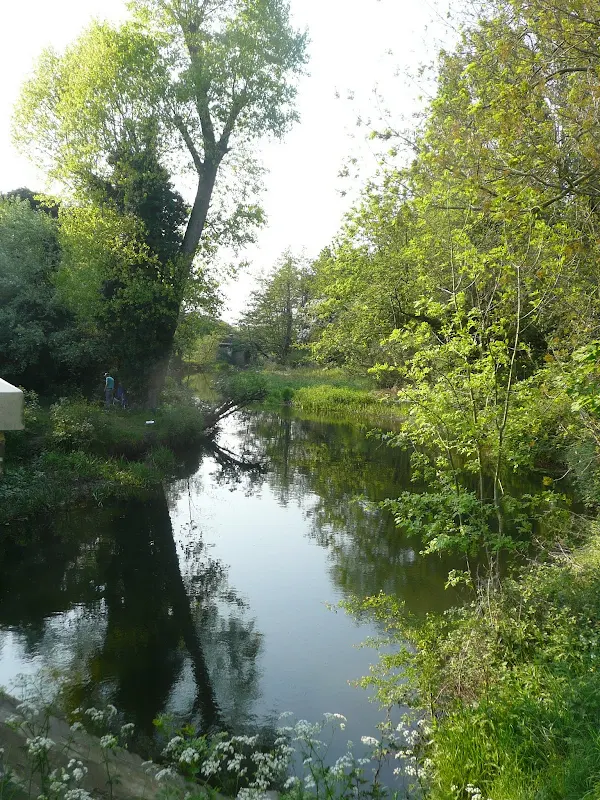
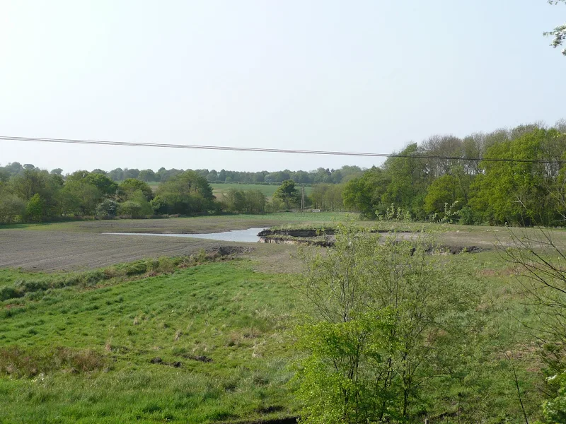
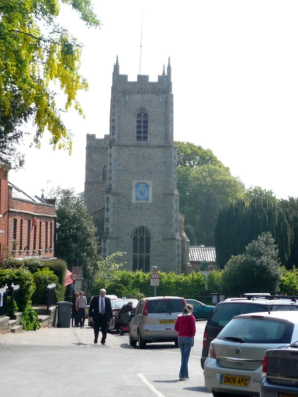
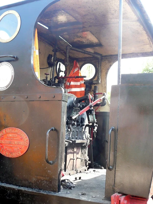
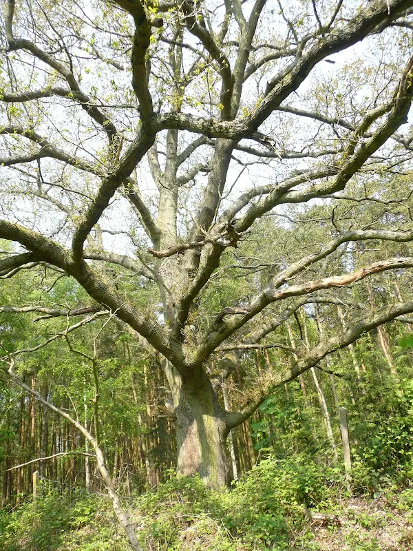
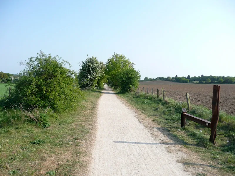
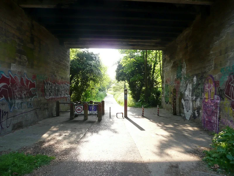
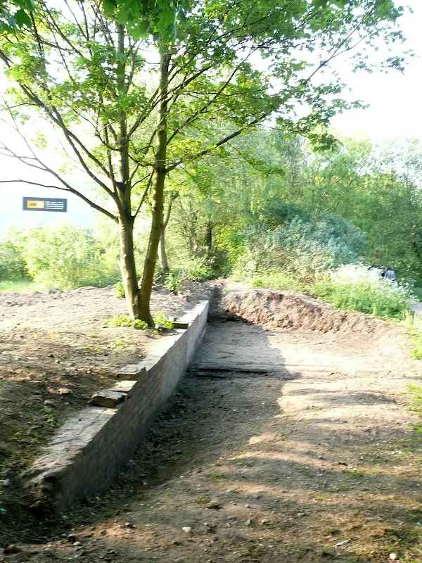
The route starts/ends on the Norwich Road out of Aylsham, just beyond the Tesco supermarket. I guess this is officially the end as the first marker along the trail from this direction indicates 26 miles. The route is punctuated by various sculptures, information boards and mileage markers providing constant interest throughout. Constant reminders of the former railway include the numerous bridges, former railway buildings and station platforms. There is also the Whitwell railway museum which is a working railway hosting a varity of rolling stock including steam and diesel engines.
The trail is regularly used by both walkers and cyclists, particularly the section that navigates through the suburbs of Norwich, and through to Lenwade.
Directions
Head to Aylsham Station from the centre of the town by taking Norwich Road southwards. The station can be found on the left side of the road, is now part of the Bure Valley Railway. The Marriots Way starts on the opposite side of the road, initially leading alongside the Tesco superstore, then continuing along the former trackbed.
Reepham to Whitwell missing out the Themelthorpe loop
From Reepham station, walk out of the station yard, and up to the road. Turn right and follow the road through the town. At the crossroads continue straight ahead until you come to a school on the right. Just before the school there is a lane on the left (Robins Lane) which leads down by the school playing fields, take this. At the bottom of the playing fields a footpath on the left leads through to the old railway track at Whitwell.
Lenwade Refreshments
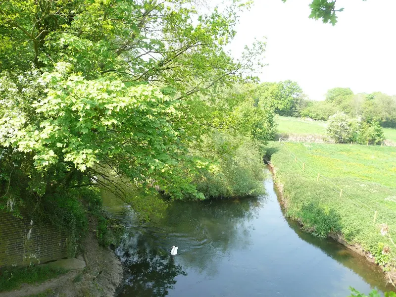
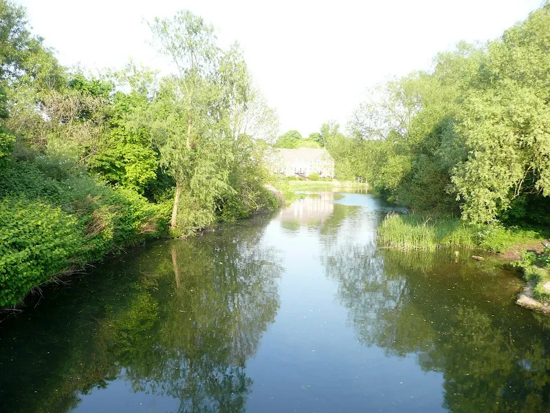
Before the Lenwade station is reached, just after crossing the River Wensum, there is a path on the right which follows the river into Lenwade. Once this meets the main road, turn right and walk into Lenwade across the bridge. The Bridge Inn can be found here.
Pubs
The Bridge Inn, Lenwade View in OS Map | View in Google Map

- Address
- Fakenham Road, Lenwade
- Website
- https://www.facebook.com/TheBridgeInnLenwade/
A family run Free House with a good reputation for their home cooked food. Open all day and serving meals from 12am - 9pm. The pub is set in 30 acres of private grounds with an outdoor seating area by the Lakeside Gardens and private fishing available on 2 specimen lakes of eight and five acres, 2 smaller carp lakes, 2 match/pleasure ponds and a 300 yds stretch of the fabulous river Wensum. Ales on offer include Adnams and Woodfordes.
The Red Lion, Drayton View in OS Map | View in Google Map

- Address
- Fakenham Road, Drayton
- Website
- https://www.greeneking.co.uk/pubs/norfolk/red-lion
The Red Lion is a listed building and former coaching inn dating from 1768. A varied menu is on offer together with a carvery offering fresh vegetables and a choice of three roasts. Ales include Greene King and Wolf.
Very nice pint of Wolfs Straw Dog.
Features
Midland and Great Northern RailwayView in OS Map | View in Google Map
The Marriott's Way uses the trackbeds of two former railway lines, from Themelthorpe to Norwich and the Themelthorpe to Aylsham. The Themelthorpe to Norwich line was built in 1882 by the Lynn and Fakenham Railway Company which was taken over by the M&GN in 1893, as part of a line that ran to Melton Constable. This line gave a through route to the Midlands. The Themelthorpe to Aylsham line was completed in 1893 by the Great Eastern Railway to provide a link to its other lines at Wroxham and County School railway station close to North Elmham. The lines were never profitable. Freight services were largely based on farm products and the line closed to passenger traffic in 1959. In 1960 the two lines were joined by the Themelthorpe Curve, believed to be the sharpest bend in the British Rail network. Its construction was to keep open the important movement of concrete products from Lenwade railway station. Once concrete production ceased in 1985 the line was closed. Several concrete public works of art can be seen along the way a constant reminder of the lines connection with the concrete industry and of its last days as a freight line carrying concrete products. Also on view are hand crafted benches and places to rest. Many of them memorials to cyclists and other way users.
References
Whitwell and Reepham RailwayView in OS Map | View in Google Map
The station was opened in 1882 as part of the Midland and Great Northern Joint Railway's branch from the main line at Melton Constable to Norwich City. The station closed in 1959 and the track was lifted in 1985 once the line finally fell into disuse. The station site was used for a tree surgery business, as offices, and for the parking of coaches and a workshop and garage. At one point there was a proposal to dismantle the station building and re-erect it at Holt station on the North Norfolk Railway. The Whitwell and Reepham Railway society reopened the station on the 28th February 2009 nearly 50 years after it was closed to passengers. The continuing aims of the society are to restore the Station to its former glory circa 1930/40's, relay track and sidings, acquire rolling stock and add more items to the museum relating to the Station and The Midland and Great Northern Railway.
References
Links and Bibliography:
Image Gallery


Route Validation Cards
Validation Date - 2011-04-30
- Time of Walk: 08:00 to 18:00
- Validators: Griffmonster, Kat
- Weather Conditions: Blue skies, bright sunshine but a brisk cool easterly wind
- Notes: Initial route undertaken
Summary of Document Changes
Last Updated: 2026-03-30
- 2021-03-17 : Update website improvements and removal of ViewRanger reliance
- 2021-12-01 : Removal of ViewRanger links due to its imminent demise
- 2026-01-12 : Major website update with all walks recast to the new format


0 comments:
Post a Comment