Dilham and Honing Circular Walk
|
Wednesday 27 April 2022
|
No comments |
![]()

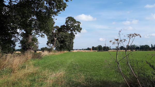
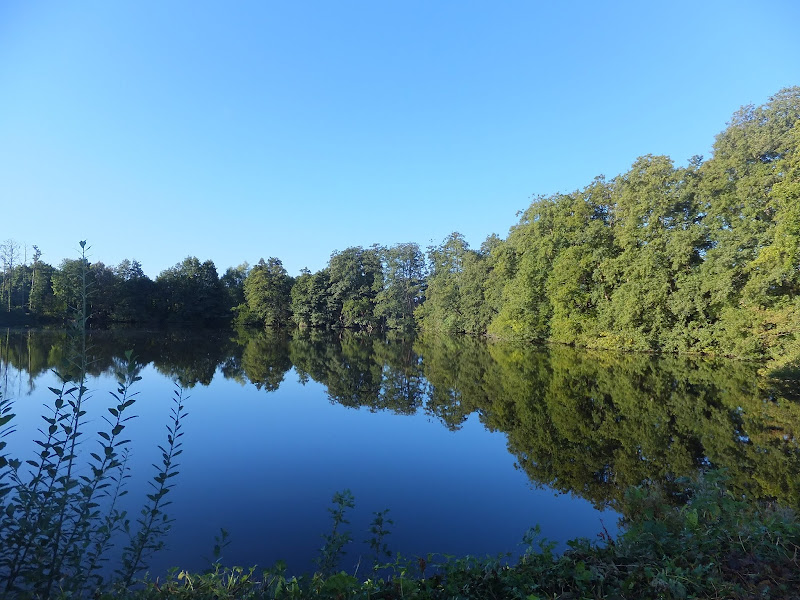
Dilham and Honing Circular Walk
A circular walk taking in the Weavers Way, Honing and Dilham
|
Wednesday 27 April 2022
|
No comments |
![]()
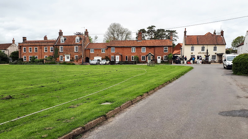
A circular walk taking in the Weavers Way, Honing and Dilham
|
Wednesday 16 March 2022
|
No comments |
![]()

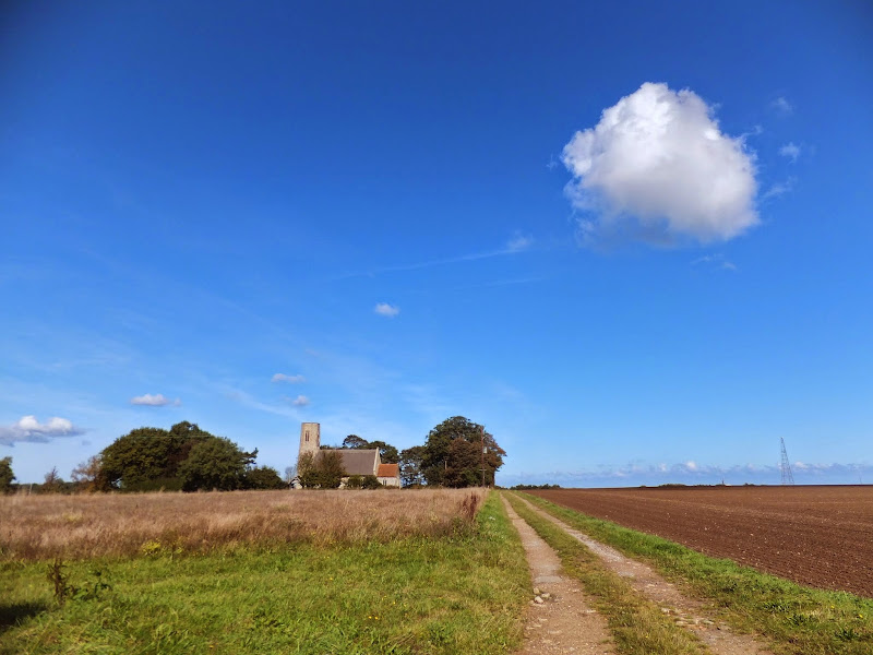
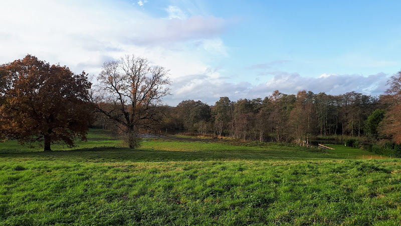
A ramble through the North Norfolk countryside
A walk using country lanes, footpaths to provide a circular walk inland from the coast at Cromer
|
|
No comments |
![]()

A ramble through the North Norfolk countryside
A walk using country lanes, footpaths, permissive paths and tracks to create a route between Holt and Melton Constable attempting to follow the route of the old M&GN railway line that linked the two towns.
|
Monday 28 February 2022
|
No comments |
![]()
A walk linking the Bittern Line stations of Worstead and Wroxham
|
|
No comments |
![]()

A walk liing the Bittern Line stations of NorthWalsham and Worstead
|
Thursday 24 February 2022
|
No comments |
![]()

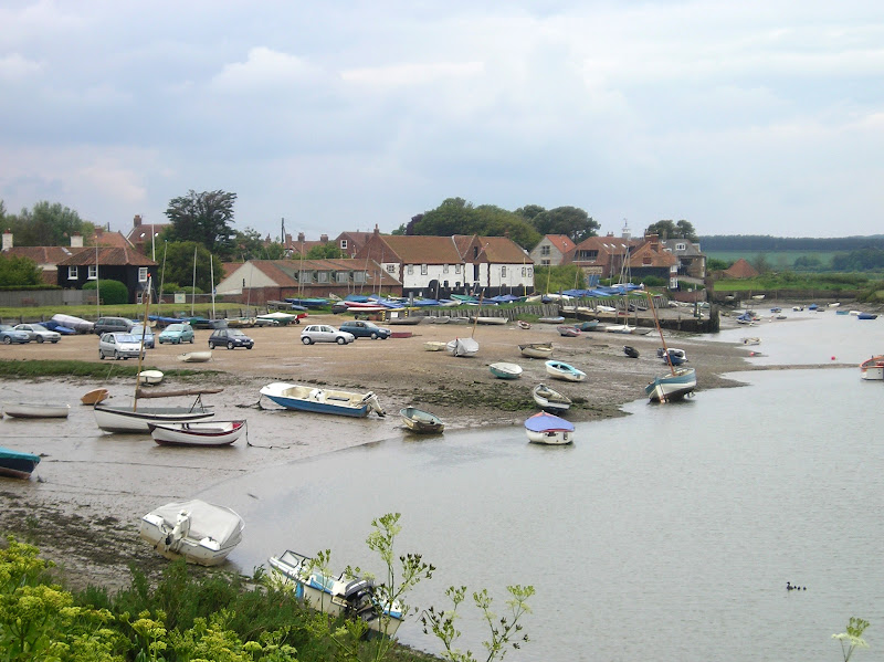
A walk of beach, prom, dunes and marsh. A thoroughly varied landscape all told
|
|
1 comment |
![]()

A trek along the Peddars Way, following an excursion to Heacham for accommodation.
|
|
1 comment |
![]()

A long and straight trail across lanes and tracks from Watton to Castle Acre.
|
|
1 comment |
![]()

An easy trek across Breckland on the initial stages of the Peddars Way.
|
Wednesday 23 February 2022
|
3 comments |
![]()

A trek from Thetford to the start of the Peddars Way
|
Monday 7 February 2022
|
No comments |
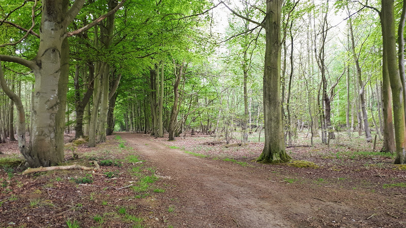
![]()

Walk from Cromer through the hills and woodland to Pretty Corner
|
Sunday 6 February 2022
|
No comments |
![]()

A great full days walk that takes in the ruins of Binham Priory
|
|
No comments |
![]()

A challenge walk along the Norfolk Coast between Hunstanton and Wells
|
Sunday 12 December 2021
|
No comments |
![]()
A 17 mile circular walk through the countryside of North Norfolk linking East Runton and Aldborough
Aldborough is the quintessential English village with a pub facing the large village green where the sound of willow on leather can be heard from the afternoon games of cricket that are frequently staged during lazy summer afternoons. You cannot get a more stereotypically English village than Aldborough.
|
Saturday 1 May 2021
|
No comments |
![]()
Walking the original route to Norfolk's Paston Way
The Paston Way is a long distance trail around north east Norfolk that takes its names from the eminent Paston family who lived in the area during the 15th century, originating from the village of Paston. Although the route of the trail has been altered in more recent years in order to incorporate additional villages and churches in the area, originally it was a sub-20 mile trail with branches to outlying villages and churches. The original route can still be accessed and is a great way to spend a days walking between Norfolk's North Walsham and Cromer.
|
Sunday 24 January 2021
|
No comments |
![]()
An 11 mile walk linking the Bittern Line stations of North Walsham and Wroxham
A rewarding days walk through the Norfolk countryside that links the railway stations of North Walsham and Wroxham. The route passes across an historic battleground, through woodland, encountering picturesque hamlets and village churches along the way. The end section uses the Bure Valley Railway path that follows the narrow gauge steam railway past Coltishall and down to Wroxham station.
|
Sunday 23 February 2020
|
No comments |
![]()
An 8.75 mile walk along the Angles Way from Wortwell to Earsham
It is not often that a country ramble coincides with a Brewery visit. On this route there are two, the historic St Peters brewery and the Waveney Brewing Company based at the Queens Head pub in Earsham. Although St Peters is a little off route a visit to this exquisite old building is thoroughly recommended. Also just off route is the village of Flixton where there is the remains of Flixton Priory and a church with a unique tower plus the setting for a spooky story.
|
Sunday 5 January 2020
|
No comments |
![]()
A 10 mile linear walk between Wroxham and Norwich
Walk linking the Bittern Railway Line stations of Wroxham and Norwich. The route cuts across to Spixworth using tracks and country lanes from where there is pedestrian access through to the centre of Norwich. Spixworth has an interesting history of folklore which is discussed in the features of this walk.
|
Tuesday 24 December 2019
|
No comments |
![]()
A 7 mile walk following the North Norfolk Coast Path between Wells-next-the-Sea and Burnham Overy Staithe
This amble includes some magnificent beach walking along the sands in front of the Holkham National Nature Reserve. Acres upon acres of golden sand when the tide is out with big skies and thousands upon thousands of razor shells which are washed up on the high tide mark. The walk ends at Burnham Overy Staithe, the quiet hamlet which is said to be where Nelson learnt to row and sail.
|
|
No comments |
![]()

An easy 8 mile Norfolk coastal walk along beach and clifftops between Sheringham and Cromer
The Norfolk Coast Path was rerouted in 2014 as part of its inclusion to the England Coast Path. It now navigate alogn the cliff tops for most of the distance along what used to be permissive paths that have now become public. This walk uses both coast path and beach to create a delightful walk along this awe-inspiring section of the North Norfolk coast. Do check tide times and make sure the beach walk is undertaken 2 hours either side of low tide.
A 10 mile walk following the southern side of the parish boundary of Leiston in Suffolk This walk follows the route of a 17th century peramb...


