Angles Way - Belton to Great Yarmouth
Monday, 1 September 2025
|
No comments
|
![]()
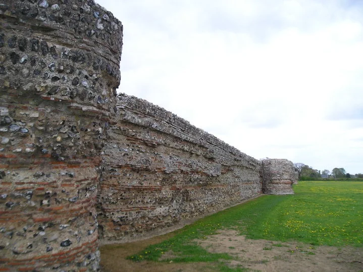
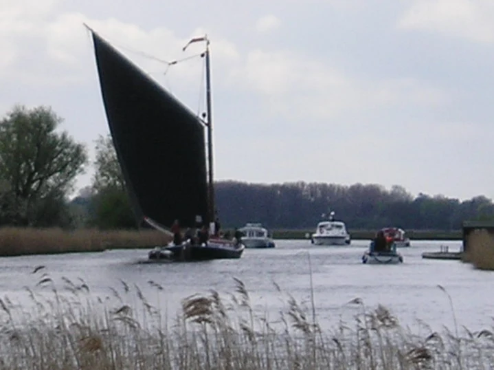
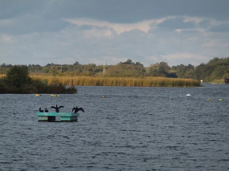
An 8 mile walk along the Angles Way from its start at Great Yarmouth to Belton
The journey along the Angles Ways begins with a walk along the banks of Breydon Water to Belton. Along this route can be seen the impressive remains of the Roman fort Gariannonum at Burgh Castle. This is a simple afternoons walk with a frequent bus service linking Great Yarmouth and Belton for the return journey. On this occasion we walked the path in reverse having set up camp at Belton.