Route details, maps, pubs, features, local history and folklore for a wide variety of walks focusing primarily on Norfolk and Suffolk

full-detail Walks
Showing posts with label full-detail. Show all posts

Sunday 12 December 2021

In Search of Leiston's Ancient Pagan Sites, the Procession Rayles and Gallows

Harrow Lane

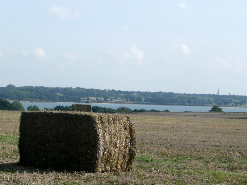
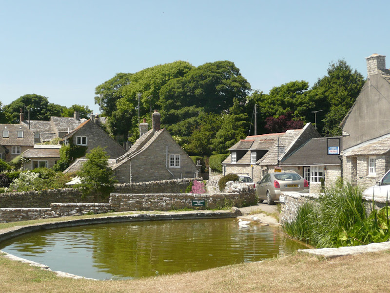
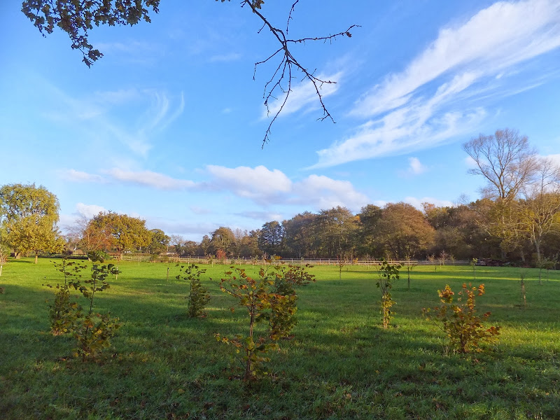
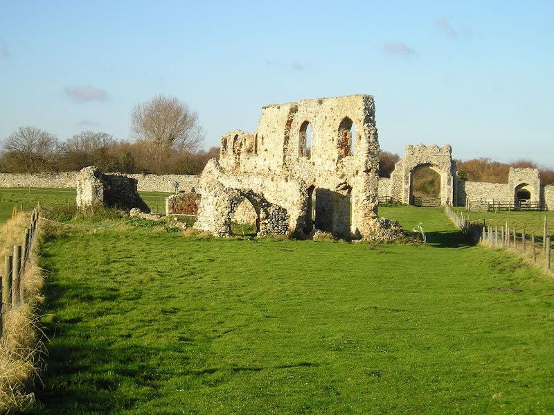
A 7 mile walk following the western parish boundary of Leiston in Suffolk, as described in a document from the middle-ages

This walk attempts to follow the instructions of a perambulation around the western side of the Leiston Parish boundary that was undertaken in the year AD1620. Leiston's history is renowned for its Abbey and the Garret's works, but this walk also discovers the site of a possible ancient pre-Christian shrine or temple, the location of the Leiston gallows and the procession route taken by those attending this gruesome public spectacle.

Friday 14 May 2021

Essex Coast Walk - Manningtree to Great Oakley

Overlooking the Stour estuary

A day walk along the Essex Way

A fine piece of walking along the Essex Way to provide some glorious views of the Stour estuary before turning inland to avoid Harwich and Dovercourt. Estuary views, marsh, woodland and open fields make for a varied scene throughout the walk.

Sunday 11 April 2021

South West Coast Path - Langton Matravers to Swanage

Worth Matravers

A challenging walk along the South West Coast Path between Langton Matravers to Swanage

Not quite a circular walk, with bus to connect the missing distance between Langton Matravers to Swanage. Some amzing coastline with a memorable climb to the top of St Adhelms Head.

Thursday 7 January 2021

In Search of Leiston Gibbet, Friday Market Heath and St Andrews Green

Land by the River Hundred at Aldringham

A 6 mile walk around the heaths and commons of Coldfair Green

This walk follows an investigation to seek out the location of the Leiston Gibbet and an area of heathland that was known in the 1600's as Friday Market Heath. The only reference to these places comes from an old book from 1910 entitled 'The Chronicles of Theberton' which details the route past the gibbet. This walk attempts to retrace this route by navigating along the heathland and footpaths around the River Hundred which marks the boundary between the hundreds of Blything and Plomestead. Extensive research which has been undertaken and documented in the feature of this walk with some revealing insights to long forgotten places.

Saturday 14 March 2020

Sussex Coast Path - Hastings to Eastbourne

XXX

Coast route following the proposed route for the England Coast Path

A very typical English seaside walk passing through the resorts of Hastings, St Leonards and Bexhill to end at Eastbourne. There is plenty of promenade walking with some beach walking. The beach is predominantly shingle throughout which makes it hard going. Because of this the section around Normans Bay and Pevensey Bay uses the coast road behind the coastal embankment to make it easier going. The ends of the walk are linked by the railway making for a very pleasant one day sectional walk.

Sunday 23 February 2020

The Angles Way - Wortwell to Earsham

Lakes at wortwell

An 8.75 mile walk along the Angles Way from Wortwell to Earsham

It is not often that a country ramble coincides with a Brewery visit. On this route there are two, the historic St Peters brewery and the Waveney Brewing Company based at the Queens Head pub in Earsham. Although St Peters is a little off route a visit to this exquisite old building is thoroughly recommended. Also just off route is the village of Flixton where there is the remains of Flixton Priory and a church with a unique tower plus the setting for a spooky story.

Monday 17 February 2020

Alde Valley Walk - Sweffling to Badingham

more Suffolk countryside

A circular walk through the quintessential Suffolk countryside following the River Alde

A circular walk following country lanes with a few footpaths along the Alde Valley. This is typical Suffolk countryside where one can take a lazy stroll. There are pubs to visit, three to be precise and all named the White Horse, along with three churches that are not named the White Horse!

Sunday 9 February 2020

Suffolk Coast Path

Martello Tower at Bawdsey

An overview of the Suffolk Coast Path, a 60 mile long distance path following the coast of Suffolk

A 60 mile long distance footpath from Felixstowe to Lowestoft in easy stages through some of the characteristic landscapes of the Suffolk Coast and Heaths Area of Outstanding Natural Beauty. The path also includes the Orford Loop which provides access through to Orford and the Butley Ferry. Alternative beach walks, providing the tide is right, can be undertaken throughout.

Saturday 25 January 2020

Saxmundham to Rendham Circular Walk

Rendham church

Circular Walk between Saxmundham and the village of Rendham

Six mile circular walk across the Suffolk countryside with a worthy stop off at the White Horse pub at Rendham. Woodland, open fields, babbling brooks make this typical of this part of Suffolk. And there is history to, with the Roman bronze head being discovered in the river at Rendham back in 1907. How did it get there?

Wednesday 15 January 2020

Stour and Orwell Walk - Felixstowe to Ipswich

A 17 mile walk along the banks of the Orwell River in Suffolk starting at Felixstowe and ending in the centre of Ipswich

The Stour and Orwell path is an extension to the southern end of the Suffolk Coast Path and follows the coast along the estuaries of the Orwell and the Stour. The start of the walk is characterised by the earthen river defences along which the footpath navigates. From Levington Creek an alternative route is used to pay a visit to the 13th century Ship Inn before proceeding through Broke Hall Woods to rejoin the official route through to Ipswich.

Tuesday 7 January 2020

In Search of the Lost City of Dunwich

A circular walk between Leiston and Dunwich

This walk uses the beach and the Sandlings Path to provide a days walk to Dunwich from Leiston via Sizewell. One should time this walk such that the beach is walked a couple of hours either side of low tide when there is a little sand to walk along. At other times the beach is predominantly shingle and the walker may find it easier to follow the Suffolk Coast Path which is waymarked from the north side of Minsmere where it continues up onto the cliffs.

Sunday 5 January 2020

Wroxham to Norwich via Spixworth

View of the River Bure heading out of Wroxham

A 10 mile linear walk between Wroxham and Norwich

Walk linking the Bittern Railway Line stations of Wroxham and Norwich. The route cuts across to Spixworth using tracks and country lanes from where there is pedestrian access through to the centre of Norwich. Spixworth has an interesting history of folklore which is discussed in the features of this walk.

Tuesday 24 December 2019

Norfolk Coast Path - Wells-next-the-Sea to Burnham Overy Staithe

Burnham Overy Staithe

A 7 mile walk following the North Norfolk Coast Path between Wells-next-the-Sea and Burnham Overy Staithe

This amble includes some magnificent beach walking along the sands in front of the Holkham National Nature Reserve. Acres upon acres of golden sand when the tide is out with big skies and thousands upon thousands of razor shells which are washed up on the high tide mark. The walk ends at Burnham Overy Staithe, the quiet hamlet which is said to be where Nelson learnt to row and sail.

Ouse Valley Way - Oakley to Carlton

Ouse Valley Way

A 13 mile North Bedfordshire walk along the Ouse Valley Way between Oakley and Carlton taking in the charming villages of Pavenham, Sharnbrook, and Odell.

Although the Ouse Valley Way does not actually go into Oakley, there is a convenient bus stop here that links the two ends to this walk. The bus stop is a mile or so from the river, from where there is a footpath which joins the official route at Stevington and then winds its way through the rolling Bedfordshire countryside. There's plenty to see and explore along the route with medieval river bridges, the Holywell at Stevington, the ghostly tales of Odell and the picturesque villages of Pavenham, Radwell, Sharnbrook, and Harrold. Although many of the villages pubs have finally closed their doors for good in recent years, there are still convenient refreshment stops on route.

Sheringham to Cromer Circular Walk

An easy 8 mile Norfolk coastal walk along beach and clifftops between Sheringham and Cromer

The Norfolk Coast Path was rerouted in 2014 as part of its inclusion to the England Coast Path. It now navigate alogn the cliff tops for most of the distance along what used to be permissive paths that have now become public. This walk uses both coast path and beach to create a delightful walk along this awe-inspiring section of the North Norfolk coast. Do check tide times and make sure the beach walk is undertaken 2 hours either side of low tide.

Monday 23 December 2019

Suffolk Coast Path - Sizewell to Aldeburgh Circular Walk

Fishing shacks at Aldeburgh

A circular walk from Sizewell to Aldeburgh along the Suffolk Coast Path

The Suffolk Coast Path does not go into Aldeburgh but it is a simple excursion to continue along the beach all the way down to the unique clover leafed Martello Tower at the vanished village of Slaughden using the old railway track to make a circular walk.

Thursday 19 December 2019

In search of the Becks and Ponds of Beeston Regis

View from foot of Incleborough Hill

A 7 mile walk between East Runton and Sheringham in Norfolk, searching out a couple of good pubs and following Beeston Beck across Beeston Common.

This picturesque trail follows the foot of Inkleborough Hill to West Runton then navigates down to the northern end of Beeston Back Common where it follows the stream known as Beeston Beck down into Sheringham, past the site of an old watermill, now replaced by terraces of housing. Return is via West Runton with a stop at the Village Inn. At only 7 miles, this is a simple and easy afternoons stroll.

South West Coast Path - Dartmouth to Torcross

Dartmouth

A 9 mile walk along the South West Coast Path between Dartmouth and Torcross.

This section of the walk starts at the deep water port of Dartmouth which is famed for where the second and third crusades departed in the 12th century. Across the River Dart is Kingswear, and down the estuary is Dartmouth Castle, built in the 15th Century. Passing the castle, the path heads round the coast and up to the village of Stoke Fleming, then meanders across the hills and lanes either side of the main Dartmouth road until it meets Strete. Here it descends down to Slapton Sands, which despite its name, is a shingle beach on one side and Slapton Ley, a natural freshwater lagoon, on the other. A simple walk with a few hills to negotiate and a bus service that links the two ends of the walk.

The Angles Way - Diss to Wortwell

Millpond near Weybread House, Harleston

A 17 mile walk along the Angles Way from Diss to Harleston and onto Wortwell

There is plenty of history along this section of the Angles Way as it follows the course of the River Waveney. Numerous archaeological finds have been found along the route dating from prehistoric times through roman pottery and remnants of the middle ages. There are lost villages, halls and churches to provide ample opportunity for exploration as the path meanders across the Norfolk Suffolk border.

Old Coast Path Route - Cromer to Sheringham

Beeston Bump

A 6 mile walk along the original route of the Norfolk Coast Path between Cromer and Sheringham

Up until December 2014 the official route of the Norfolk Coast Path from its start at Cromer Pier through to Sheringham navigated inland along the hills of the Cromer Ridge, the highest ground in Norfolk. This original route can still be walked and contrasts with the cliff-top route of the realigned path which is now part of the England Coast Path. With shady lanes and tracks through the woodland, spectacular views from the summit of Beacon Hill and the challenging ascent to the iconic Beeston Bump, this walk is a worthwhile excursion from the coastal route.

Walk Summaries

Latest walk summaries are basic information sheets for walks that have yet to be fully documented. These provide links to maps, public transport and walks stats, although detailed notes and features are not included.

Latest Walk Summaries

Featured Walk

In Search of Sizewell Chapel

A 10 mile walk following the southern side of the parish boundary of Leiston in Suffolk This walk follows the route of a 17th century peramb...

What is GPX

All you need to know about GPX, electronic mapping and how to use modern apps and mobile devices as navigation devices

Popular Walks

Maps