Route details, maps, pubs, features, local history and folklore for a wide variety of walks focusing primarily on Norfolk and Suffolk

Long Distance Trail Walks
Showing posts with label Long Distance Trail. Show all posts

Saturday 1 May 2021

The Original Paston Way Route

Norfolk countryside

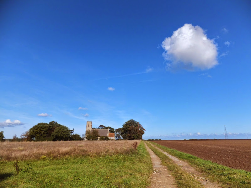
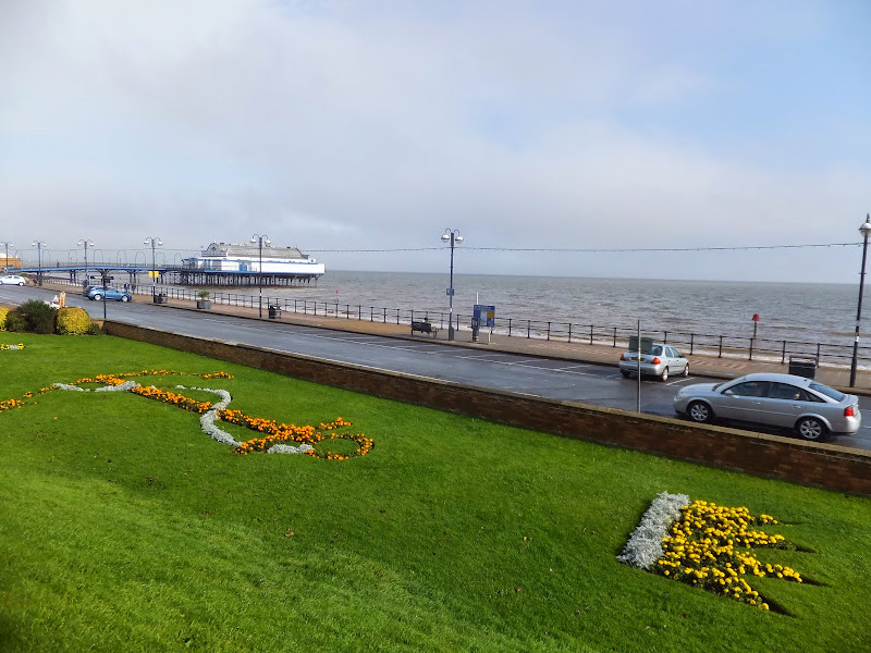
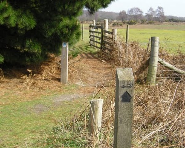
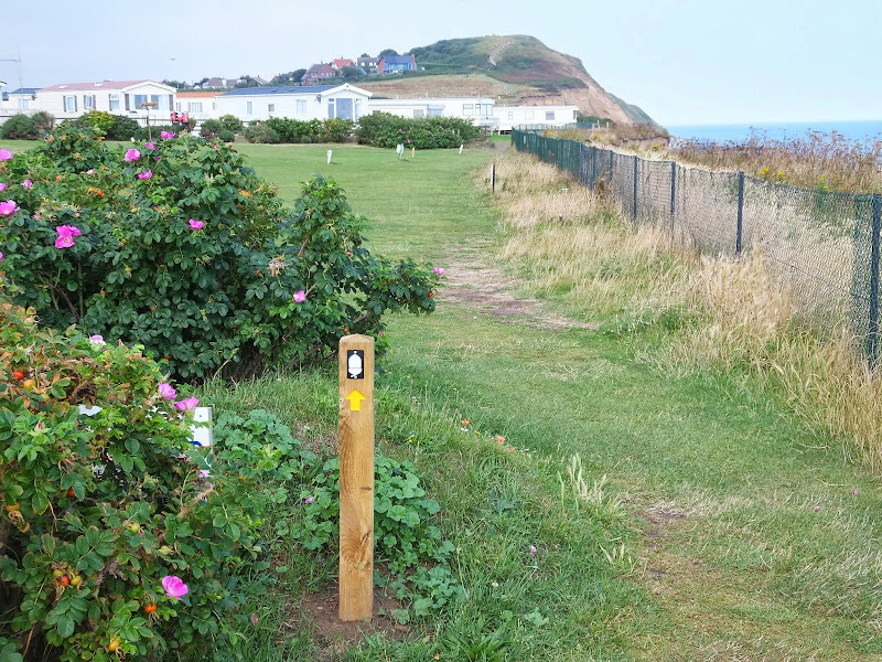
Walking the original route to Norfolk's Paston Way

The Paston Way is a long distance trail around north east Norfolk that takes its names from the eminent Paston family who lived in the area during the 15th century, originating from the village of Paston. Although the route of the trail has been altered in more recent years in order to incorporate additional villages and churches in the area, originally it was a sub-20 mile trail with branches to outlying villages and churches. The original route can still be accessed and is a great way to spend a days walking between Norfolk's North Walsham and Cromer.

Sunday 9 February 2020

Suffolk Coast Path

Martello Tower at Bawdsey

An overview of the Suffolk Coast Path, a 60 mile long distance path following the coast of Suffolk

A 60 mile long distance footpath from Felixstowe to Lowestoft in easy stages through some of the characteristic landscapes of the Suffolk Coast and Heaths Area of Outstanding Natural Beauty. The path also includes the Orford Loop which provides access through to Orford and the Butley Ferry. Alternative beach walks, providing the tide is right, can be undertaken throughout.

Tuesday 1 January 2019

Lincolnshire Coast Path

Cleethorpes

An overview of a possible route for a Lincolnshire Coast Path

There is currently no official Lincolnshire Coast Path although Natural England are committed to having something in place as part of the English Coast Path by 2020. This overview details the current possible routes taken from research conducted into a walk between Cleethorpes and Boston during September 2014

Monday 17 December 2018

The Sandlings Walk

The Sandlings Waymarker

An overview of the Sandlings Walk, a 55 mile long distance path through the forests and heaths of East Suffolk

The Sandlings is a 55 mile walk starting at Rushmere Heath on the eastern side of Ipswich with Southwold, passing through the remaining fragments of East Suffolks Sandling Heaths. The trail leads through Rendlesham, Tunstall and Dunwich forests and also includes riverside walks at Woodbridge and heathland walks across Rushmere Heath, Sutton Heath, Thorpeness Common and Dunwich Heath..

Wednesday 5 December 2018

Coast Path around The Wash

Peter Scott Lighthouse

An overview of a walk around the Wash from Boston to Kings Lynn

Three rivers flow out into the Wash, namely the Welland, the Nene and The Ouse. Public footpaths follow the defence banks that border these rivers and the marshes that adjoin the coastline in between. The A17 provides bridges across these watercourses at Fosdyke, Sutton Bridge and West Lynn respectively. The walks are typical of this fenland area with vast open landscapes and huge skies which provide a unique charm to this part of the English coast.

Tuesday 27 November 2018

The Weavers Way

Weavers Way Marker

An overview of the The Weavers Way, a 60 mile long distance footpath through Norfolk linking Cromer and Great Yarmouth.

The Weavers Way takes its name from the cottage weaving industry that established itself during Middle Ages around the North Walsham area. The path is characterised by the various sections that it passes through on route, firstly historic halls, then old railways followed by river walks before the final section across the lowland Norfolk landscape with its characteristic big skies.

Tuesday 29 July 2014

Norfolk Coast Path Extension

Coastline from Mundesley to Happisburgh

A 21 mile extension has recently been completed to the Norfolk Coast Path taking it through to Sea Palling

As part of the English Coast Path project, the Norfolk Coast path has now been extended to Sea Palling with waymarkers and direction signs being added during the first half of July. This includes a redirected section between Beeston and Cromer that now follows the coast rather than its original route which headed inland through the hills above Cromer.

Tuesday 21 September 2010

The Essex Coast - Manningtree to Maldon


The Essex Coastline is arguably the longest of any British county when you take into account all the estuaries that need to be navigated. The total distance can be in excess of 300 miles and encompasses seaside towns, wild and remote marshes and pleasant country paths. There is currently no official footpath around the Essex Coast although there is currently negotiation taking place for the instating of the England Coast Path through the county. This guide provides a coastal route that can presently be used. With the assistance of Peter Catons book 'Essex Coast Walk' and the appropriate OS maps, one can make up a route of ones choice and this is a fine way to explore this part of the British coastline. Our path started along the Essex Way and then used recognised public footpaths and sea defences where possible. When all else failed we had to resort to road, but thankfully there was not too much road walking.

Walk Summaries

Latest walk summaries are basic information sheets for walks that have yet to be fully documented. These provide links to maps, public transport and walks stats, although detailed notes and features are not included.

Latest Walk Summaries

Featured Walk

In Search of Sizewell Chapel

A 10 mile walk following the southern side of the parish boundary of Leiston in Suffolk This walk follows the route of a 17th century peramb...

What is GPX

All you need to know about GPX, electronic mapping and how to use modern apps and mobile devices as navigation devices

Popular Walks

Maps