Route details, maps, pubs, features, local history and folklore for a wide variety of walks focusing primarily on Norfolk and Suffolk

News Walks
Showing posts with label News. Show all posts

Thursday 19 December 2019

The Aftermath of the 2013 Storm Surge - Cromer and Sheringham

Damaged Beach huts

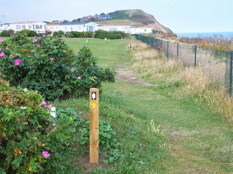
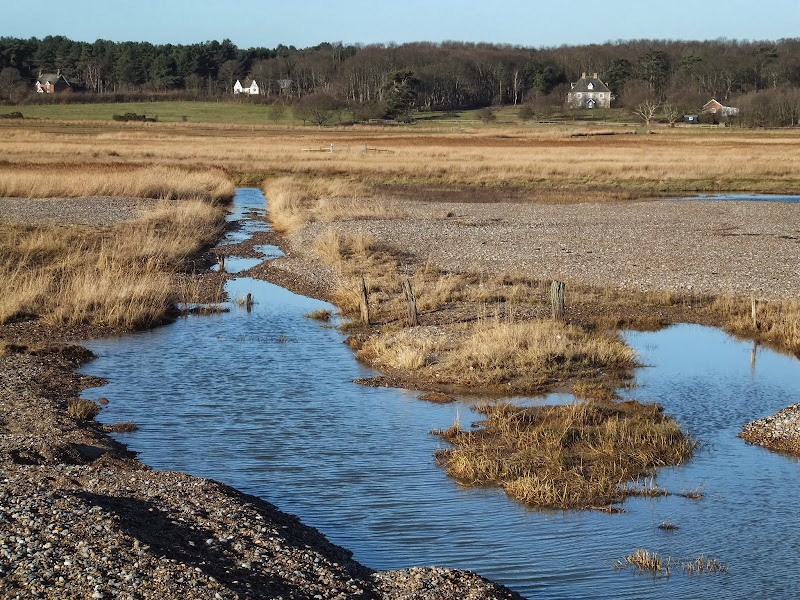
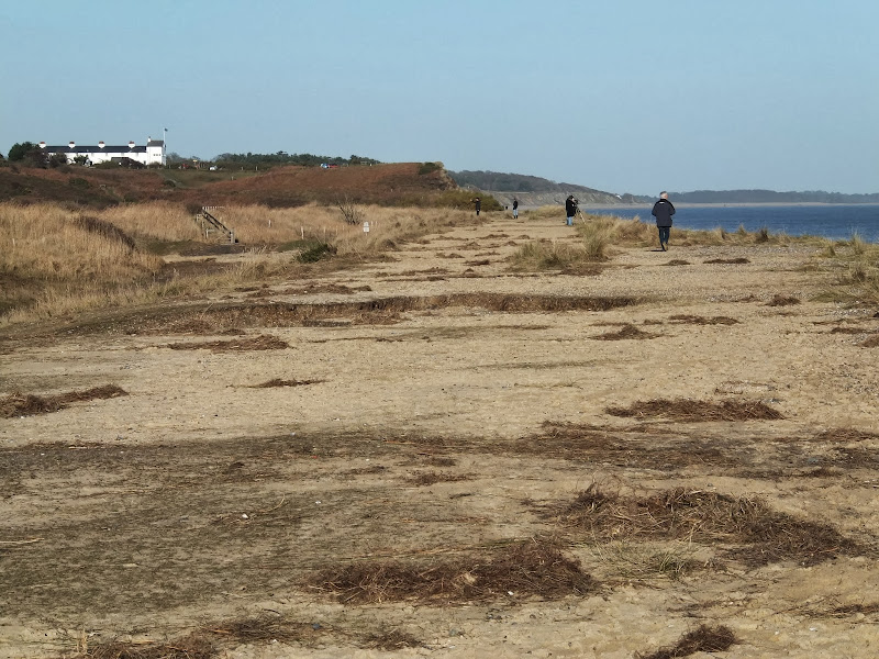
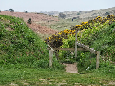
A 6 mile beach walk to witness the damage caused by the 2013 Storm Surge at Cromer and Sheringham

Both Cromer and Sheringham bore the brunt of the storm surge on the night of December 5th 2013. Although repair work is well under way there are still the signs of what damage the sea can cause. There have also been many cliff falls along this length of coastline with the cliff faces providing a fascinating view sculptured by the weather and tides and offering multi coloured strata.

Wednesday 18 December 2019

The Aftermath of the 2013 Storm Surge - Blakeney, Cley and Salthouse

Salthouse marshes

A 4 mile beach walk to witness the damage caused by the 2013 Storm Surge along the shingle bank between Cley and Salthouse

The December 2013 Storm Surge caused widespread flooding of the marshes and sea defences along the North Norfolk Coast, resulting in the closure of the Coast path between Blakeney and Cley. It is still possible to walk out to the beach from Cley village via the road where a walk along the shingle will astound those who have walked this section prior to the December storm. The shingle ridge has been levelled, with the excess cast across the marshes.

Norfolk Coast Path between Blakeney and Cley - Latest Developments

Repaired defence bank close to Blakeney

The future of the 2.5 mile walk along the sea defences between Blakeney and Cley

The December 2013 Storm Surge caused major damage to the sea defences along the Norfolk Coast Path that encompasses the Blakeney Freshes. Work is currently being carried out to repair the breaches, however the long term future of both the Freshes and the coast path at this point is uncertain.

Monday 9 May 2016

Seaside Walk Week

Seaside Walk Week

It will soon be 2016 Seaside Walk Week. From Sunday 29 May to Sunday 5 June, this event, which is in its second year and organized by the charity Family Holiday Association, is dedicated to getting everyone outside to enjoy some fresh air and the beauty of the Great British seaside. The event will launch with an official walk in Scarborough, Britain’s first seaside resort, and end with another official walk as part of a grand finale weekend in Weston-super-Mare. Full details are available from their website page for Seaside Walk Week.

Saturday 24 October 2015

Thursday 7 May 2015

Aldeburghs Martello Tower Now Boasts an Anthony Gormley Sculpture

Martello Tower

A 7 mile walk from Thorpeness to Aldeburghs Martello Tower

For a period of 12 months starting in May 2015, a life size sculpture of a human figure will look out across the sea atop Aldeburghs Martello Tower. This is the work of Anthony Gormley, the artist who is renowned for creating the iconic Angel of the North sculpture, and is part of the celebrations to mark 50 years of the Landmark Trust.

Tuesday 30 September 2014

Proposed Route for the Norfolk Coast Path from Hopton to Sea Palling Released

Proppsed route through the Winterton dunes

Details of the proposed route for the 19.2 miles of the Norfolk Coast Path between Hopton and Sea Palling

Details have been published for the proposed route of the Norfolk leg of English Coastal Footpath between Hopton to Sea Palling. Much of the proposed route is along existing footpaths and walked routes as well as beach sections. The entire distance can be walked at present either following the proposed route or just using the beach, given the right tide conditions. This proposal, if adopted, will extend the Norfolk Coast Path from Hunstanton to Hopton.

Tuesday 29 July 2014

Norfolk Coast Path Extension

Coastline from Mundesley to Happisburgh

A 21 mile extension has recently been completed to the Norfolk Coast Path taking it through to Sea Palling

As part of the English Coast Path project, the Norfolk Coast path has now been extended to Sea Palling with waymarkers and direction signs being added during the first half of July. This includes a redirected section between Beeston and Cromer that now follows the coast rather than its original route which headed inland through the hills above Cromer.

Friday 18 July 2014

2014 NNR Beer Festival Beer List and Tasting Notes

The 13th North Norfolk Railway Beer Festival

The 13th North Norfolk Railway Beer Festival

The 13th North Norfolk Railway Beer Festival Tasting Notes

A listing of all the ales on offer, along with tasting notes, for the 13th North Norfolk Railway Beer Festival. Excellent selection from across the UK. Music from the King Size Papas, Mista Splinta and Ugly Dog Skiffle Combo. Hog Roast. Steam trains. Some great walks around the area. What else could anyone want.

Friday 17 January 2014

The Aftermath of the 2013 Storm Surge Dunwich to Walberswick

Floods and dykes at Dingle Marsh

A 8 mile beach walk to witness the damage caused by the 2013 Storm Surge

The December 2013 Storm Surge caused widespread flooding of the marshes between Dunwich and Walberswick and along the Blyth estuary, closing the main A12 road at Blythburgh for three days. With most of the waters receded, this was the first opportunity to witness the damage caused to this vulnerable section of coastal marsh. Damage to the boardwalks and bridges have currently blocked access along the Suffolk Coast Path although the Beach Route is still accessible providing the tide is right.

Sunday 22 December 2013

The Aftermath of the 2013 Storm Surge at Minsmere

Flattened dunes by the Northern Sea Wall to Minsmere

A 10 mile circular walk to witness the damage caused by the 2013 Storm Surge

The 2013 Storm Surge proved to be the highest tide in 60 years. Although much of the flooding had recede the evidence remained of where the waters reached. Viewing the changes in coastline shows just how vulnerable this stretch of the Suffolk coast really is, especially in view of the fact that such storms appear to be increasing in frequency. The walk returns through the heath and forest via Dunwich Heath and Eastbridge where the results of Octobers St Jude storm are evident from the many fallen trees.

Sunday 8 December 2013

2013 Storm Surge at Sizewell and Thorpeness

The strange egg-shaped object on the left is most likely a piece of fallen cliff

A walk at high tide of the 2013 Storm Surge between Sizewell and Thorpeness

This is a photographic excursion of the 2013 Storm Surge down the Suffolk Coast. With media firmly concentrated on events in South Africa the only real way to find out was happening was to visit this destructive storm surge oneself. Although this part of Suffolk was relatively unscathed it still presented awe-inspiring seas and crashing waves.

Sunday 16 June 2013

Woodfordes Ale Trail 2013

Martlesham Heath Control Tower Museum
Sunday 16th June is the start of the 2013 Woodfordes Ale Trail. With a huge amount of pubs to visit across Norfolk and Suffolk there is no excuse to get ones walking boots on and do a few jolly old pub crawls in an attempt to win the various prizes on offer. The trail card and pub guide can be found on Woodfordes website at www.woodfordes.co.uk/2013AleTrail.pdf I have also converted the pub locations into an interactive google map which can be found at vulcanarms.freehostia.com/woodfordes/2013.htm The Ale Trail runs from June 16th until September 30th.

Tuesday 16 October 2012

Norfolk Coast Path Proposed Route

Proppsed route through the Winterton dunes

Details of the proposed route for the 19.2 miles of the Norfolk Coast Path between Hopton and Sea Palling

Details have been published for the proposed route of the Norfolk leg of English Coastal Footpath between Hopton to Sea Palling. Much of the proposed route is along existing footpaths and walked routes as well as beach sections. The entire distance can be walked at present either following the proposed route or just using the beach, given the right tide conditions. This proposal, if adopted, will extend the Norfolk Coast Path from Hunstanton to Hopton.

Sunday 4 December 2011

Walking on the Greek island of Rhodes

For those interested in walking on the Greek island of Rhodes, I have set up a sister blog named Rhodes Walks. After spending a weeks walking holiday on the island in September of this year I wanted to record the details on a blog and eventually decided a separate site would be the most appropriate place to do so as the Griffmonster Great Walks blog is purely for UK walks, East Anglia in particular.

Sunday 23 October 2011

Completion of The Woodfordes Ale Trail 2011

The Woodfordes Ale Trail ended on 30th September and it was time to total up our stamps and collect our prizes. To recollect the rules, one has to visit Woodfordes outlets that are contained in their 2011 guide and on purchasing a pint of Woodfordes ale the publican will add an entry to the Trail Card with a unique stamp. There is only one stamp allowed for each venue and the trail only runs from June to the end of September. There is a different prize for collecting multiples of 10 stamps with the top prize being a polypin of ale for 60 stamps. In 2009 we managed to fill 2 Trail Cards and had started a third giving us a bounty of 2 polypins and a Nelsons Revenge t-shirt. This year we were not as successful due to being away from the area for a few weeks over the summer months. The end result was that we only completed half of the card. Nonetheless, this was thirty stamps collected which was rewarded with a mighty fine Woodfordes Hoody worth £25 as modelled by Kat in the photo above, an item that will most certainly keep us warm on our camping and walking expeditions

Saturday 30 July 2011

Woodfordes Ale Trail 2011

After a one year gap Woodfordes have announced their popular Ale Trail for 2011. The Ale Trail is an incentive to visit outlets of Woodfordes ales in order to collect stamps which can win you a variety of prizes including a polypin of either Admirals Reserve or Nelsons Revenge. The outlets are principally throughout Norfolk and Suffolk and provide a chance to create walks to visit some of these off-the-beaten-track hostelries. The trail card and pub guide can be found on Woodfordes website at http://www.woodfordes.co.uk/2011pubguide.pdf. I have also converted the pub locations into an interactive google map which can be found at http://vulcanarms.freehostia.com/woodfordes/2011pubs.htm. The Ale Trail runs from June 19th until September 30th.

Sunday 24 July 2011

New Sandlings Waymarker Design

The Suffolk Coast and Heaths Area of Outstanding Natural Beauty (AONB) Unit has started to replace the old Sandlings Waymarkers with a new design. These green plastic plaques have been mounted over the previous logo on existing fingerposts. The new plaques carry a nightjar logo and are part of resigning process that is being carried out throughout the long distance walk that links Ipswich and Southwold. During the resigning process damaged fingerposts are being replaced.

Walk Summaries

Latest walk summaries are basic information sheets for walks that have yet to be fully documented. These provide links to maps, public transport and walks stats, although detailed notes and features are not included.

Latest Walk Summaries

Featured Walk

In Search of Sizewell Chapel

A 10 mile walk following the southern side of the parish boundary of Leiston in Suffolk This walk follows the route of a 17th century peramb...

What is GPX

All you need to know about GPX, electronic mapping and how to use modern apps and mobile devices as navigation devices

Popular Walks

Maps