Route details, maps, pubs, features, local history and folklore for a wide variety of walks focusing primarily on Norfolk and Suffolk

Distance:long Walks
Showing posts with label Distance:long. Show all posts

Thursday 6 January 2022

Dunwich to Walberswick

Aldborough

A 13 mile Suffolk circular walk connecting Dunwich and Walberswick

This walk encapsulates coast, forest and marsh presenting a myriad of landscapes. Making use of both the Sandlings and Suffolk Coast Path, it is a simple and easily navigated wander to fill a days exploration

Sunday 12 December 2021

East Runton to Aldborough Circular Walk

Aldborough

A 17 mile circular walk through the countryside of North Norfolk linking East Runton and Aldborough

Aldborough is the quintessential English village with a pub facing the large village green where the sound of willow on leather can be heard from the afternoon games of cricket that are frequently staged during lazy summer afternoons. You cannot get a more stereotypically English village than Aldborough.

Tuesday 22 June 2021

Wales Coast Path - Bangor to Llanfairfechan

looking toward bangor

An unashamed 10 mile walk along the North Wales coastline between Bangor to Llanfairfechan

The route starts inland to negotiate around the private grounds of Penrhyn Park which is a substantial excursion away from the coast. Despite this the walking is easy going and interesting and once alongside the beach provides some less frequented coastline.

Friday 14 May 2021

Essex Coast Walk - Manningtree to Great Oakley

Overlooking the Stour estuary

A day walk along the Essex Way

A fine piece of walking along the Essex Way to provide some glorious views of the Stour estuary before turning inland to avoid Harwich and Dovercourt. Estuary views, marsh, woodland and open fields make for a varied scene throughout the walk.

Tuesday 4 May 2021

Stour and Orwell Walk - Ipswich to Shotley Gate

Industry and nature

A 14 mile walk along the banks of the River Orwell in Suffolk between Ipswich and Shotley Gate

The Stour and Orwell path is an extension to the southern end of the Suffolk Coast Path and follows the coast and heaths along the estuaries of the Orwell and the Stour rivers. This particular walk focuses on the section between Ipswich and Shotley Gate following the river Orwell along the Shotley peninsular.

Saturday 1 May 2021

The Original Paston Way Route

Norfolk countryside

Walking the original route to Norfolk's Paston Way

The Paston Way is a long distance trail around north east Norfolk that takes its names from the eminent Paston family who lived in the area during the 15th century, originating from the village of Paston. Although the route of the trail has been altered in more recent years in order to incorporate additional villages and churches in the area, originally it was a sub-20 mile trail with branches to outlying villages and churches. The original route can still be accessed and is a great way to spend a days walking between Norfolk's North Walsham and Cromer.

Monday 26 April 2021

South West Coast Path - Swanage to South Haven Point

Old Harry's Rocks

An moderately easy walk to the end of the South West Coast Path at South Haven Point

Old Harry Rocks is the highlight of this walk, and the ascent to Handfast Point, off of which the rocks are located, is the only real effort that has to be expended during the duration of this walk.The rest of the walk is easy all the way through to the end of the South West Coast Path at South Haven Point.

Sunday 11 April 2021

South West Coast Path - Langton Matravers to Swanage

Worth Matravers

A challenging walk along the South West Coast Path between Langton Matravers to Swanage

Not quite a circular walk, with bus to connect the missing distance between Langton Matravers to Swanage. Some amzing coastline with a memorable climb to the top of St Adhelms Head.

Sunday 24 January 2021

Bittern Line Walk - North Walsham to Wroxham

North Walsham woods, site of the Battle of North Walsham

An 11 mile walk linking the Bittern Line stations of North Walsham and Wroxham

A rewarding days walk through the Norfolk countryside that links the railway stations of North Walsham and Wroxham. The route passes across an historic battleground, through woodland, encountering picturesque hamlets and village churches along the way. The end section uses the Bure Valley Railway path that follows the narrow gauge steam railway past Coltishall and down to Wroxham station.

Saturday 14 March 2020

Sussex Coast Path - Hastings to Eastbourne

XXX

Coast route following the proposed route for the England Coast Path

A very typical English seaside walk passing through the resorts of Hastings, St Leonards and Bexhill to end at Eastbourne. There is plenty of promenade walking with some beach walking. The beach is predominantly shingle throughout which makes it hard going. Because of this the section around Normans Bay and Pevensey Bay uses the coast road behind the coastal embankment to make it easier going. The ends of the walk are linked by the railway making for a very pleasant one day sectional walk.

Tuesday 7 January 2020

In Search of the Lost City of Dunwich

A circular walk between Leiston and Dunwich

This walk uses the beach and the Sandlings Path to provide a days walk to Dunwich from Leiston via Sizewell. One should time this walk such that the beach is walked a couple of hours either side of low tide when there is a little sand to walk along. At other times the beach is predominantly shingle and the walker may find it easier to follow the Suffolk Coast Path which is waymarked from the north side of Minsmere where it continues up onto the cliffs.

Sunday 5 January 2020

Wroxham to Norwich via Spixworth

View of the River Bure heading out of Wroxham

A 10 mile linear walk between Wroxham and Norwich

Walk linking the Bittern Railway Line stations of Wroxham and Norwich. The route cuts across to Spixworth using tracks and country lanes from where there is pedestrian access through to the centre of Norwich. Spixworth has an interesting history of folklore which is discussed in the features of this walk.

Tuesday 24 December 2019

Ouse Valley Way - Oakley to Carlton

Ouse Valley Way

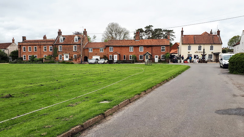
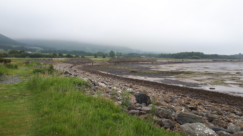
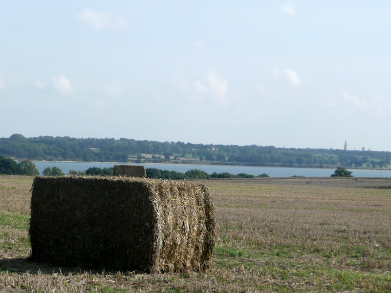
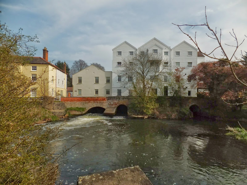
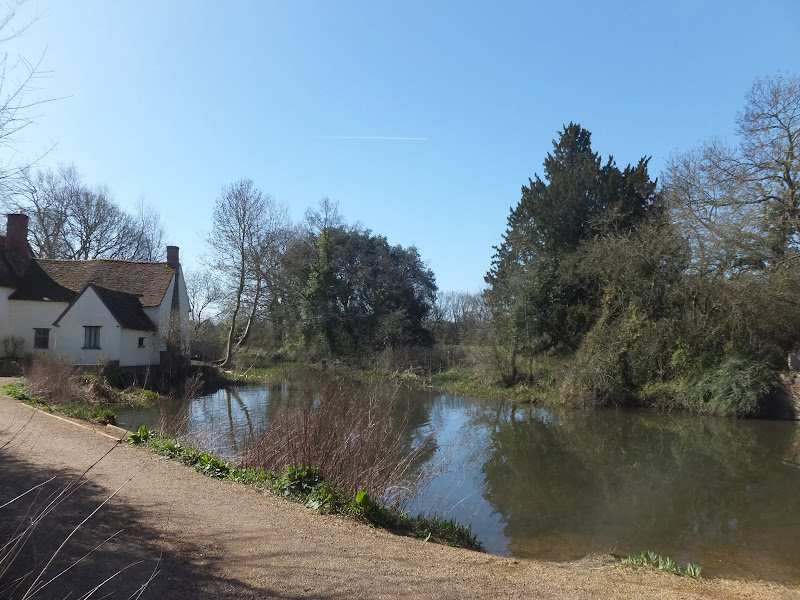
A 13 mile North Bedfordshire walk along the Ouse Valley Way between Oakley and Carlton taking in the charming villages of Pavenham, Sharnbrook, and Odell.

Although the Ouse Valley Way does not actually go into Oakley, there is a convenient bus stop here that links the two ends to this walk. The bus stop is a mile or so from the river, from where there is a footpath which joins the official route at Stevington and then winds its way through the rolling Bedfordshire countryside. There's plenty to see and explore along the route with medieval river bridges, the Holywell at Stevington, the ghostly tales of Odell and the picturesque villages of Pavenham, Radwell, Sharnbrook, and Harrold. Although many of the villages pubs have finally closed their doors for good in recent years, there are still convenient refreshment stops on route.

Monday 23 December 2019

Suffolk Coast Path - Sizewell to Aldeburgh Circular Walk

Fishing shacks at Aldeburgh

A circular walk from Sizewell to Aldeburgh along the Suffolk Coast Path

The Suffolk Coast Path does not go into Aldeburgh but it is a simple excursion to continue along the beach all the way down to the unique clover leafed Martello Tower at the vanished village of Slaughden using the old railway track to make a circular walk.

Wednesday 18 December 2019

Weavers Way - Cromer to Aylsham

Felbrigg Hall

A 17 mile walk along Norfolk's Weavers Way from Cromer to Aylsham

Historic halls, stately homes and ancient commons and villages are what typifies this northern section of the Weavers Way. This really is a typical old English scene throughout making a most pleasurable all day walk. There are numerous pubs along the route which serve both ale and food.

South West Coast Path - Coverack to The Lizard

View to The Lizard

An 11 mile walk along the South West Coast Path between Coverack and The Lizard

A challenging but rewarding walk along the south West Coast path. There are spectacular views along the coastline with The Lizard being in view virtually the entire distance. The picture postcard village of Cadgwith is a worthy resting point before embarking on the final few miles that include the rock formation known as The Devil's Frying Pan.

Bure River Walk from Coltishall to Brampton

Buxton Mill

An easy and captivating walk along Norfolks River Bure

Not only does this walk provide some classic Norfolk scenery and historic features but it also traces the route said to be taken by the phantom carriage of Sir Thomas Boleyn in his annual act of penance for betraying his daughter Anne when she was sentenced to be executed. The walk is then made into a circular route by returning via the Bure Valley Path alongside the narrow gauge Bure Valley railway.

Flatford Mill Circular Walk

View of Constables Haywain

An 11 mile Walk along the River Stour incorporating sections of the Stour Valley Path, the Essex Way and St Edmund's Way

Flatford Mill is the idyllic English country scene encapsulated by John Constables renowned paintings including the instantly recognizable 'Haywain'. This circular route is an exceptional walk by all accounts and the perfect way to engross oneself in this landscape that sits on the Suffolk and Essex border.

Tuesday 17 December 2019

A Walk along the Bure Valley Path

A 9 mile walk along Norfolk's Bure Valley Path between Aylsham and Wroxham

The Bure Valley Path follows the former Great Eastern Railway trackbed alongside the Bure Valley Narrow Gauge Railway. There are outstanding views of the river Bure and stops on route at Brampton, Buxton and Coltishall. Being a former trackbed gives a well drained path so the route is suitable for all weathers.

South West Coast Path - Bucks Cross to Hartland

Blockchurch rock

An 16 mile walk along the South West Coast Path between Bucks Cross and Hartland

An easy start to a walk through the tree covered cliff-tops makes a pleasant ramble through to Clovelly. There follows a couple of challenging valleys to cross and then broad open meadows for more easy walking through to Hartland Point. At this stage the coast turns South to reveal a coastline that can only be described as truly spectacular.

Walk Summaries

Latest walk summaries are basic information sheets for walks that have yet to be fully documented. These provide links to maps, public transport and walks stats, although detailed notes and features are not included.

Latest Walk Summaries

Featured Walk

In Search of Sizewell Chapel

A 10 mile walk following the southern side of the parish boundary of Leiston in Suffolk This walk follows the route of a 17th century peramb...

What is GPX

All you need to know about GPX, electronic mapping and how to use modern apps and mobile devices as navigation devices

Popular Walks

Maps