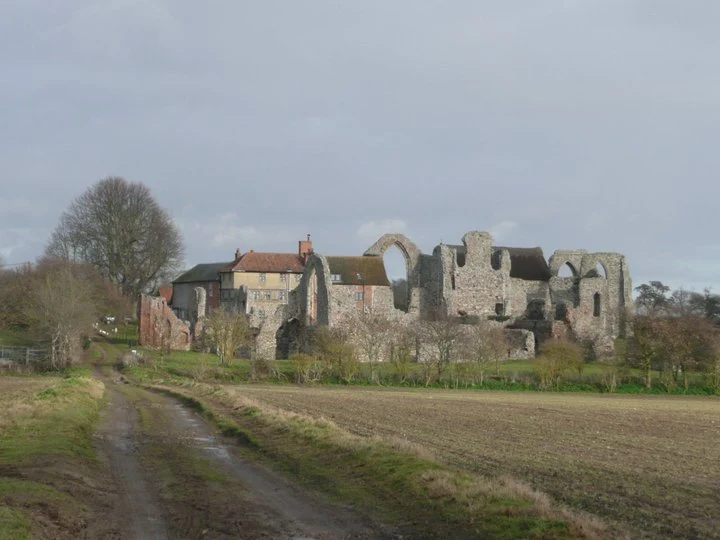
History of the Theberton Round House
Friday, 27 February 2026
|
No comments
|
![]()

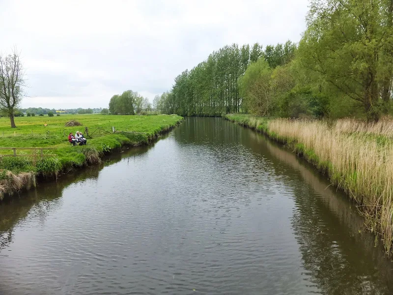
A walk around East Suffolk countryside
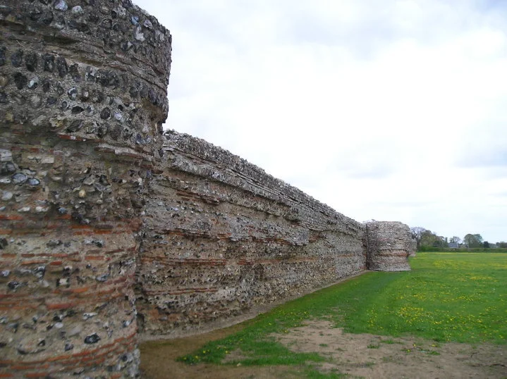
This 10.5 mile circular walk follows tracks, paths and lanes of East Suffolk to provide a varied landscape of marsh, woodland and open fields to provide a contemplative stroll. This specific instance of the walk focuses on the long forgotten Round House in the village of Theberton with research conducted to determine its history (see Notes Section for full details).